Hi, I'm Eric.
I’m an avid world traveler, photographer, software developer, and digital storyteller.
I help implement the Content Authenticity Initiative at Adobe.
Hi, I'm Eric.
I’m an avid world traveler, photographer, software developer, and digital storyteller.
I help implement the Content Authenticity Initiative at Adobe.
2 July 2020 • 1903 km / 1183 mi (map)
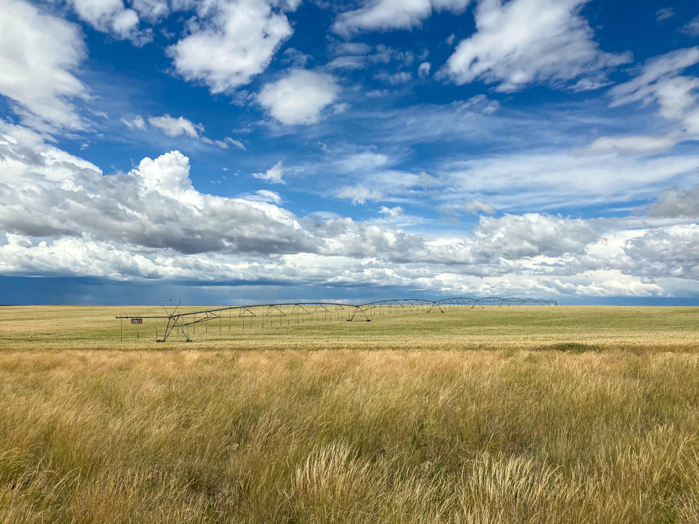
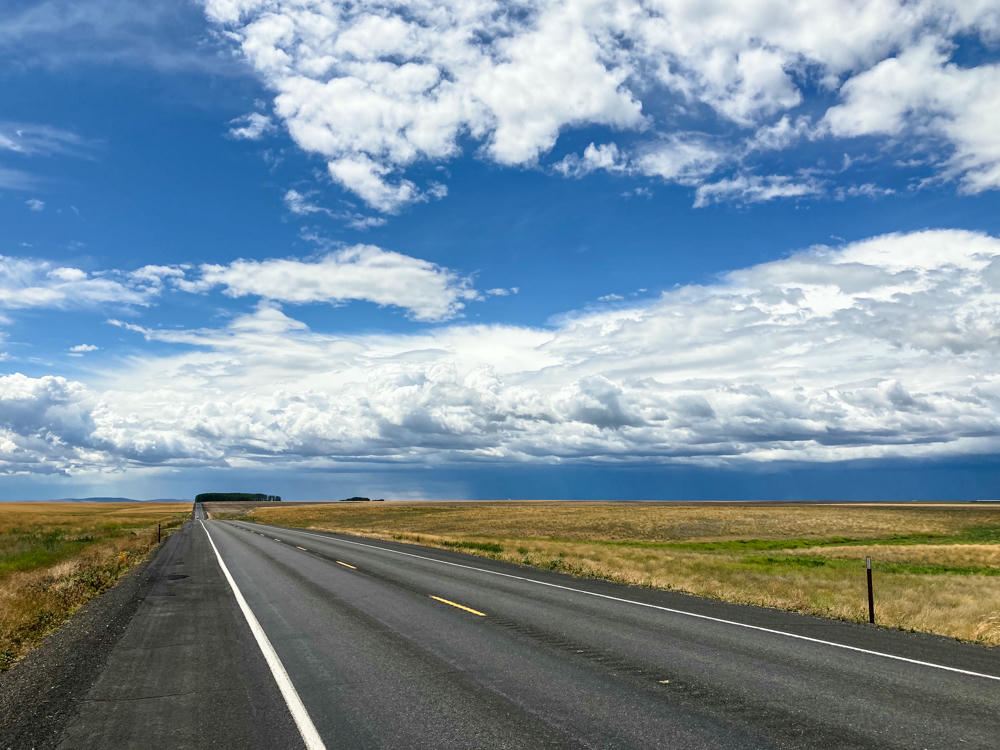
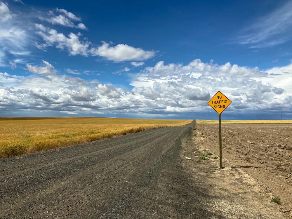
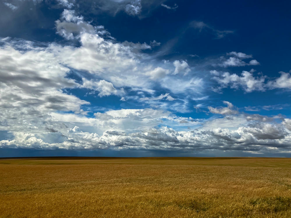
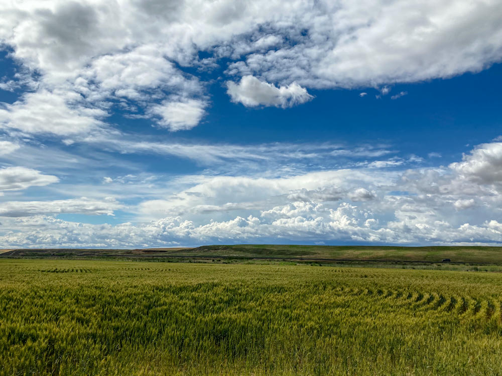
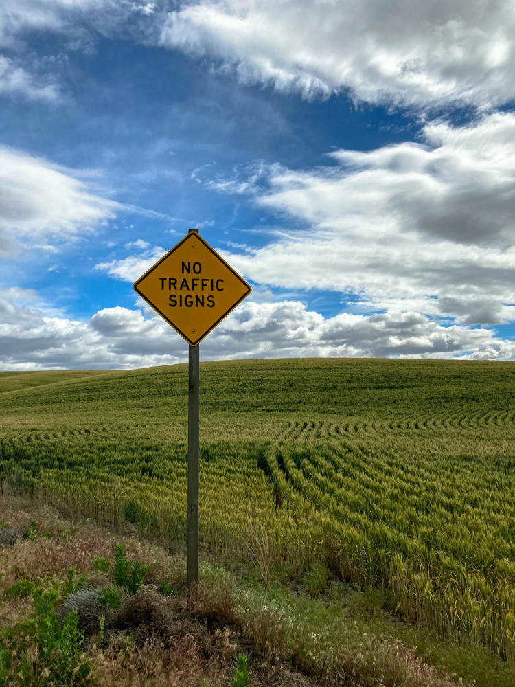
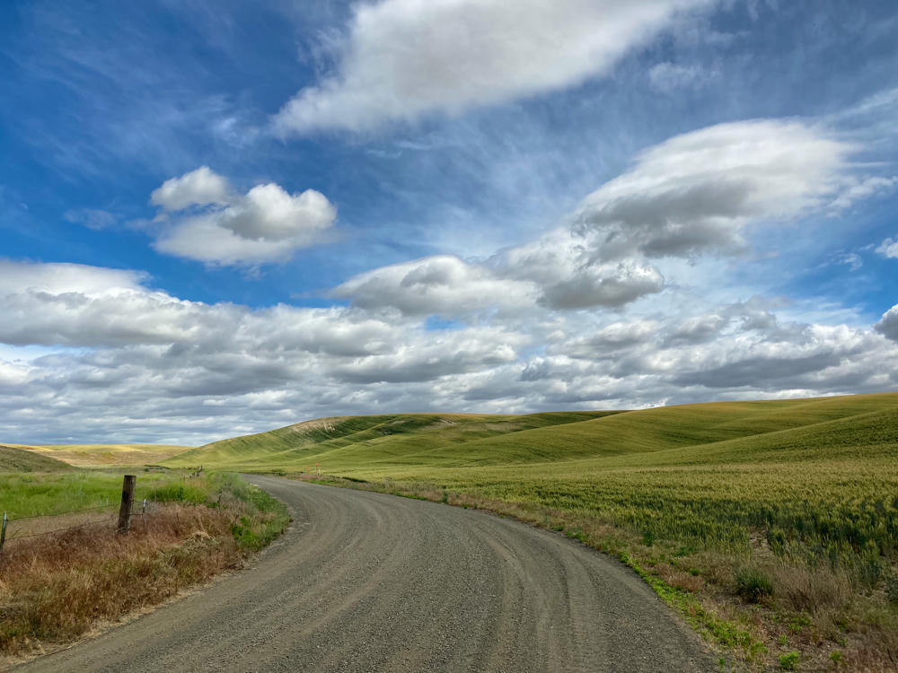
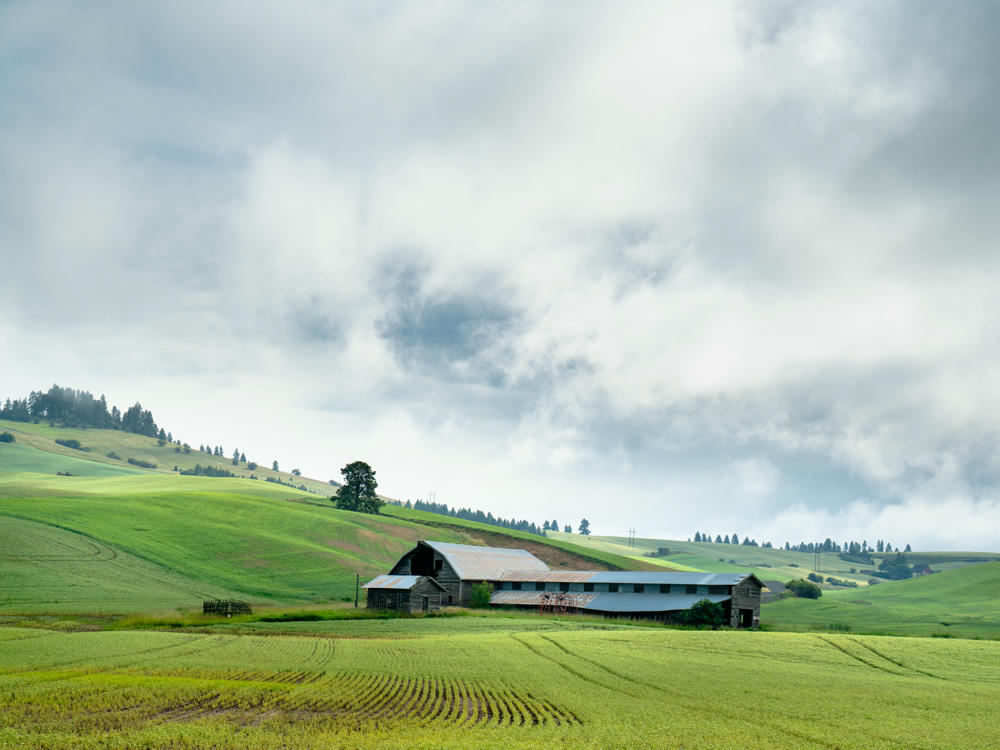
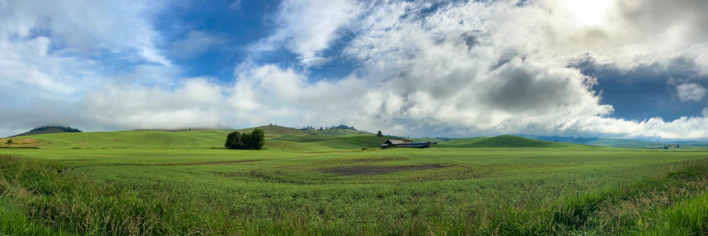
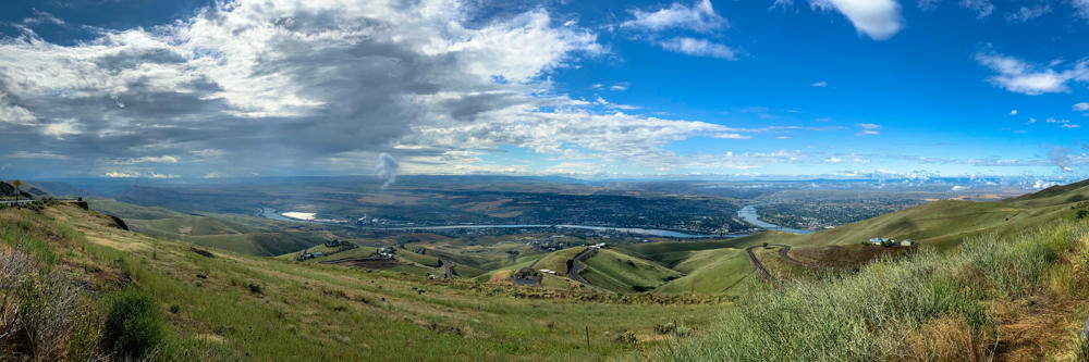
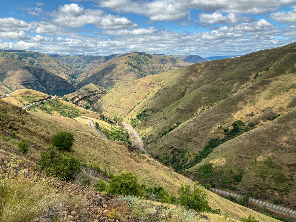
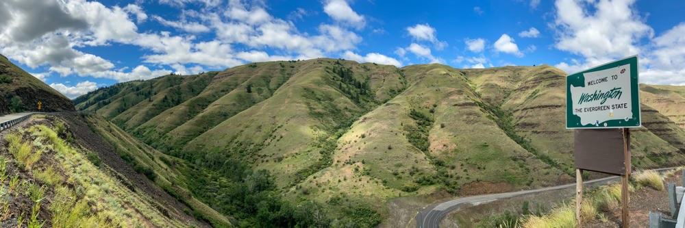
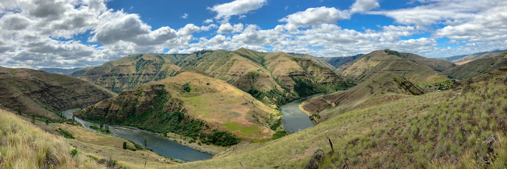
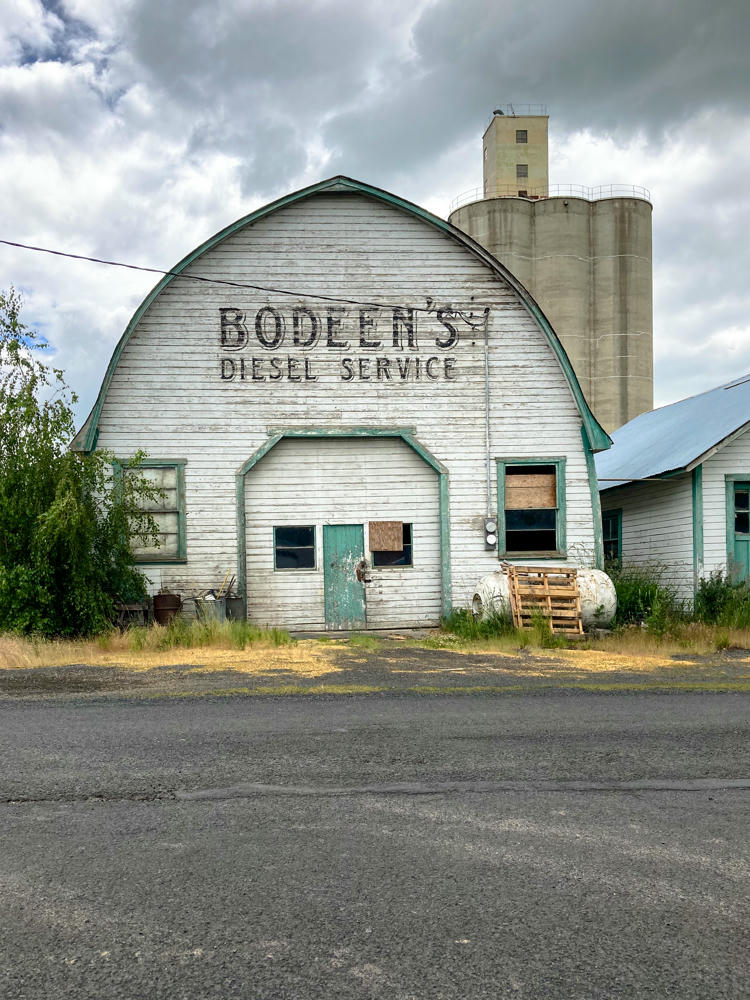
Things are starting to open up a little bit. My daughter and I took a long weekend road trip to eastern Washington.
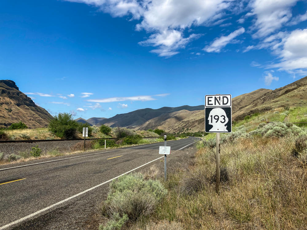
Gotta hand it to her … she’s a trouper for my wild road trip ideas. I’ve been working on a project to drive every mile of every state highway in Washington.
Which means, when you look at the route map, there are some kind of crazy loops. And some tours into some very remote corners of the state.


Subscribe to my free and occasional (never more than weekly) e-mail newsletter with my latest travel and other stories:
Or follow me on one or more of the socials: