Hi, I'm Eric.

I’m an avid world traveler, photographer, software developer, and digital storyteller.

I help implement the Content Authenticity Initiative at Adobe.

Search Results

An Eastern Washington Roadtrip

17 January 2022 • 1351 km / 840 mi (map)

  • Added to Eric Scouten :: Travel on 17 January 2022
  • Washington 75

The plan was to head east and visit a bunch of new parks for the 146 Parks project. That only sort of happened, but a good time was had nonetheless.

The good news is that I did visit the one park that I had heard was best visited in winter, Mount Spokane, which is basically a publicly-operated ski resort northeast of the city of Spokane.

The even better news is that I got some very nice winter / fog photos that I can share here along the way.

I did set foot in a couple of other parks, but I’ve filed those away under “better visited in warmer weather.” I’ve included a few photos as teasers of those parks for now, but they won’t appear on the parks blog until I revisit them and can do a proper hike and visit.
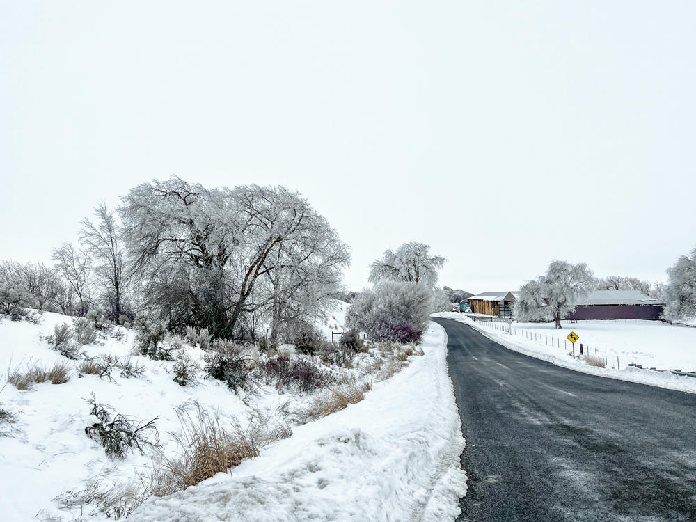
A snowy rural road curves past frost-covered trees and shrubs under an overcast winter sky, with wooden barns and a yellow winding-road warning sign visible in the distance.
east of Kittitas, Washington
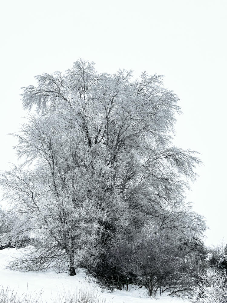
A large tree and surrounding shrubs coated in frost and hoarfrost stand on a snow-covered rise against a pale blue winter sky, with dry grasses poking through the snow in the foreground.
east of Kittitas, Washington
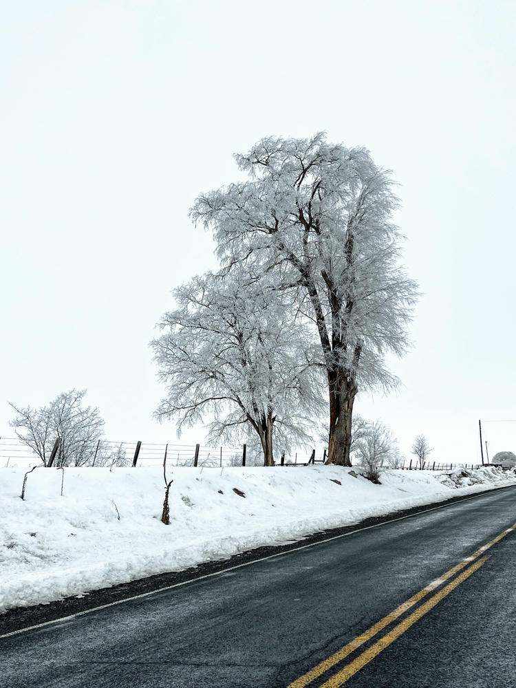
Frost-covered trees along a snowy roadside on a pale, overcast winter morning, with a wet asphalt road marked by double yellow lines curving through the foreground and a wire fence running behind the snowbank.
east of Kittitas, Washington
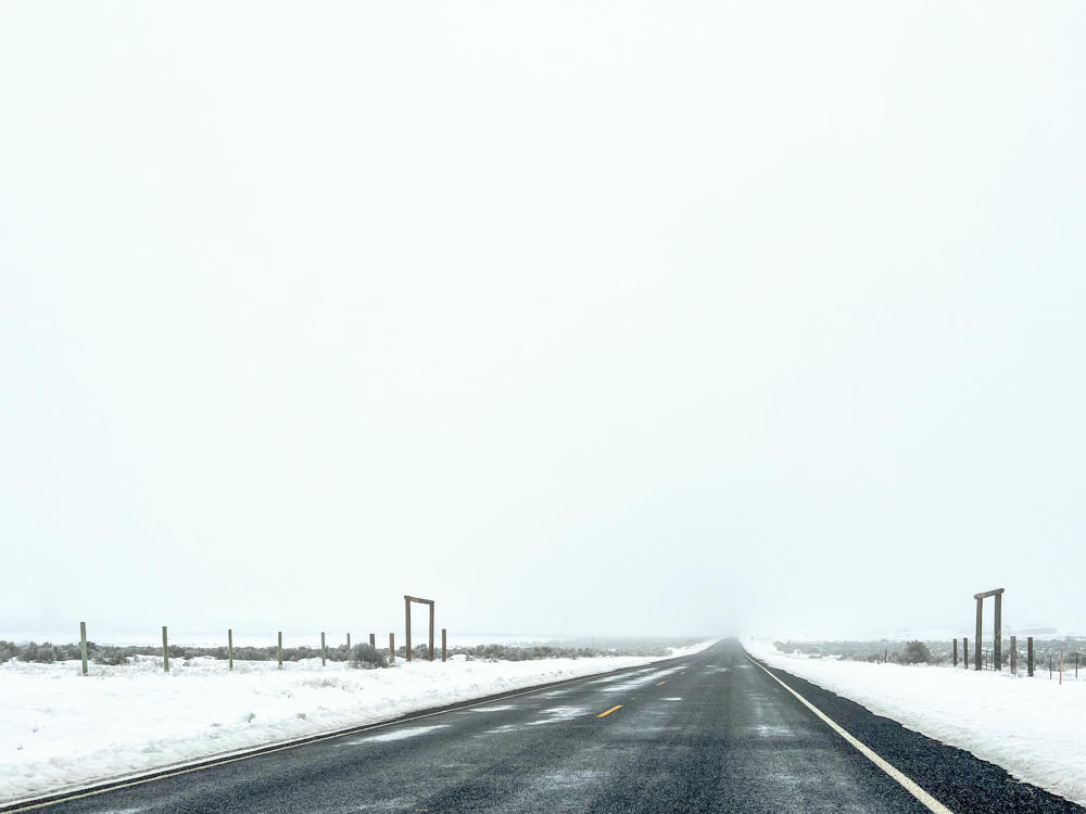
A wet, dark asphalt highway with a yellow center line stretching straight ahead into thick white fog, flanked by snow-covered fields, wire fencing, wooden gate frames, and low sagebrush under a pale overcast sky.
east of Kittitas, Washington
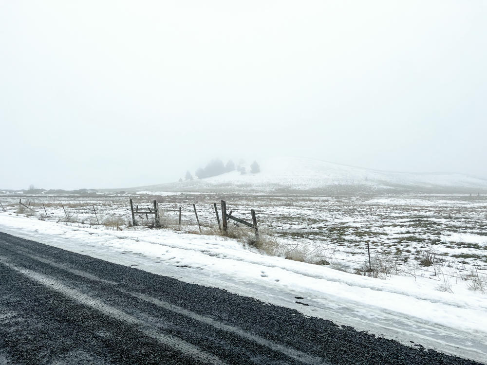
A wet gravel road runs along the foreground of a snow-dusted rural landscape, with a weathered wooden and wire fence separating the roadside from a field of patchy snow and dry grass. A low hill dotted with evergreen trees rises in the distance, fading into thick gray fog under an overcast sky.
northeast of Sprague, Washington
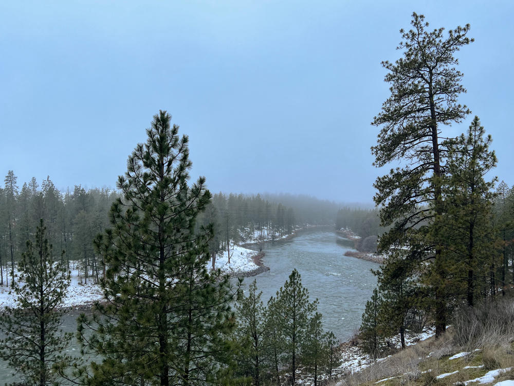
A river bends through a snowy pine forest under a hazy, overcast winter sky, with tall ponderosa pines framing the view and fog obscuring the distant treed hills.
Riverside State Park, west of Spokane, Washington
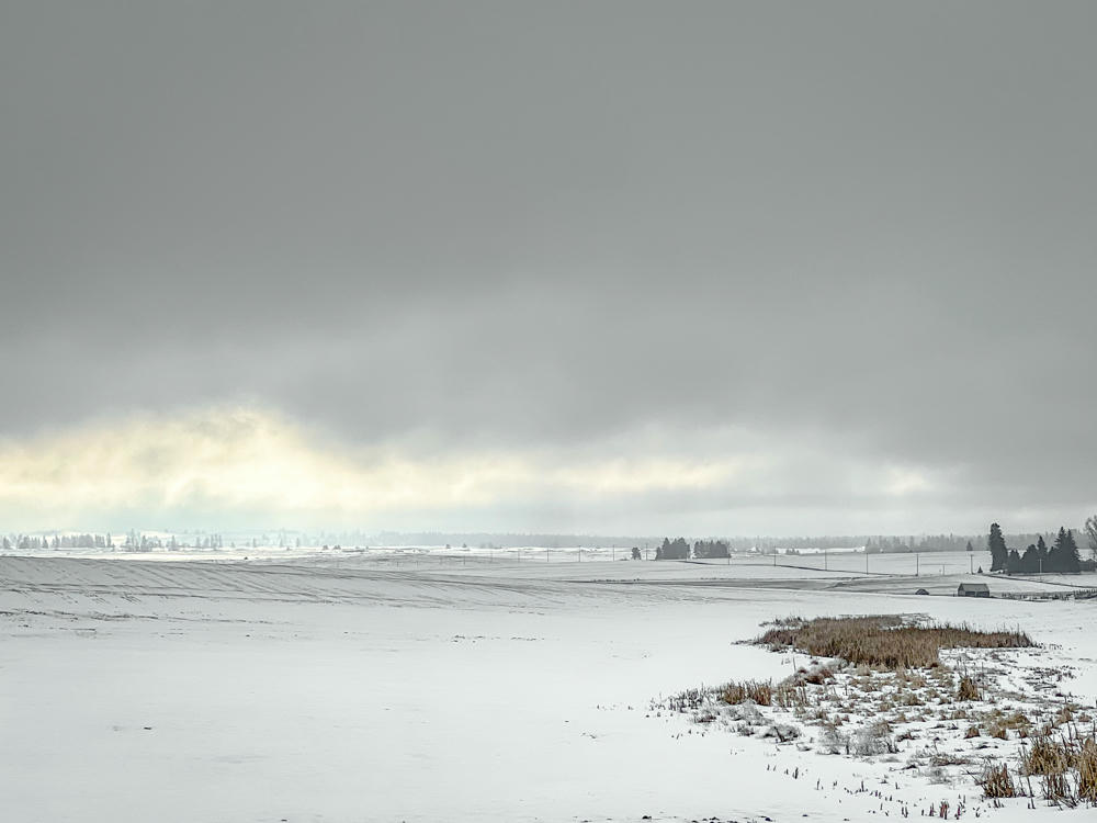
A snow-covered rural landscape under a heavy gray overcast sky, with a patch of tan dried reeds and grasses in the right foreground and distant farm buildings, including a red barn, along a low treed horizon.
east of Reardan, Washington
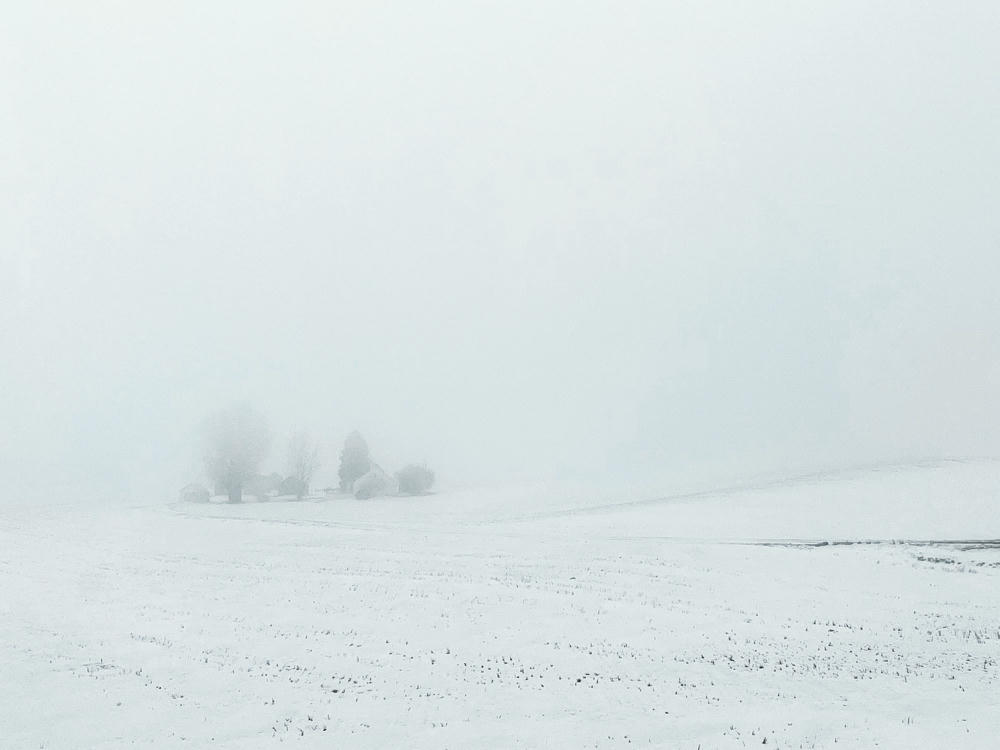
A snow-covered field under thick fog, with a faint cluster of bare trees and farm buildings barely visible in the distance to the left, all fading into a pale gray-white haze.
west of Reardan, Washington
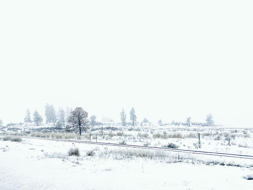
A snow-covered high-desert landscape under a pale, foggy gray-blue sky, with railroad tracks running across the middle distance and a low ridge dotted with scattered pine trees and dry grasses. A single leafless deciduous tree with reddish-brown leaves stands out among the evergreens.
west of Davenport, Washington
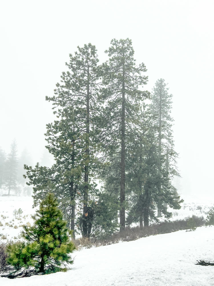
Tall pine trees stand on a snow-covered slope shrouded in heavy fog, with a smaller pine in the foreground and fainter trees fading into the misty background.
east of Wilbur, Washington
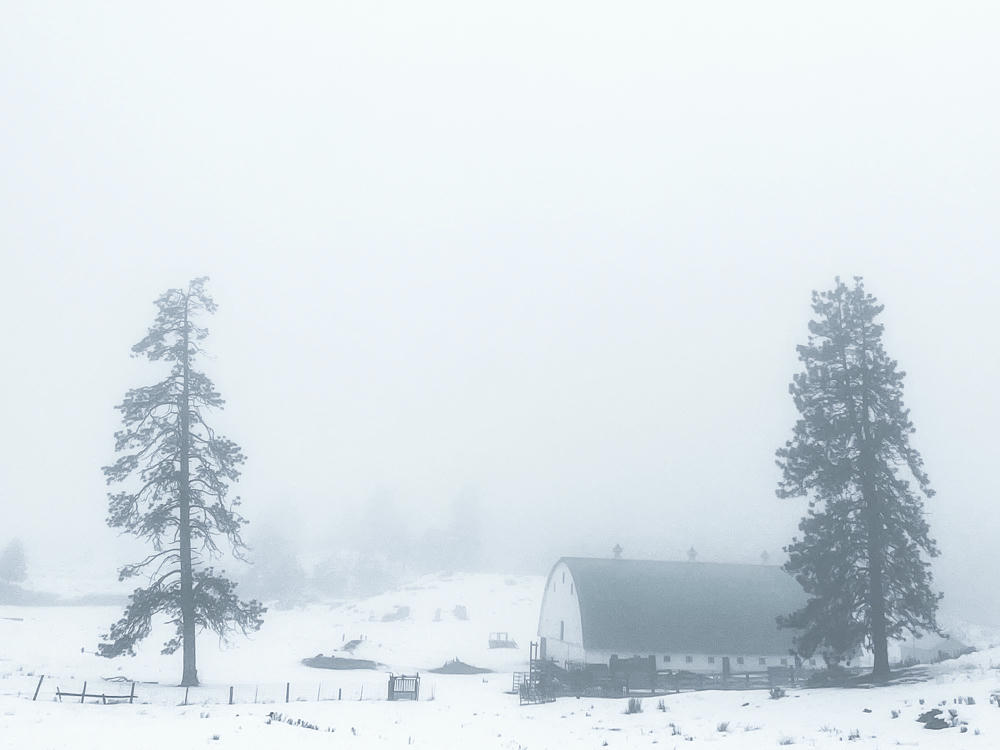
A snow-covered rural landscape shrouded in thick fog, with a white barn topped by a curved green roof sitting between two tall evergreen pine trees, a simple wooden fence and open snowy fields in the foreground.
east of Wilbur, Washington
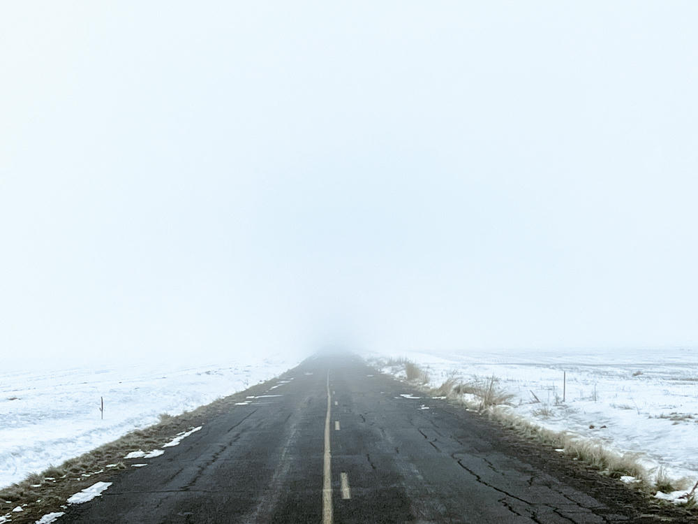
A cracked, worn two-lane asphalt road with a faded yellow center line runs straight into thick fog that swallows the horizon, flanked by snow-covered fields and dry roadside grass under a pale white winter sky.
west of Wilbur, Washington
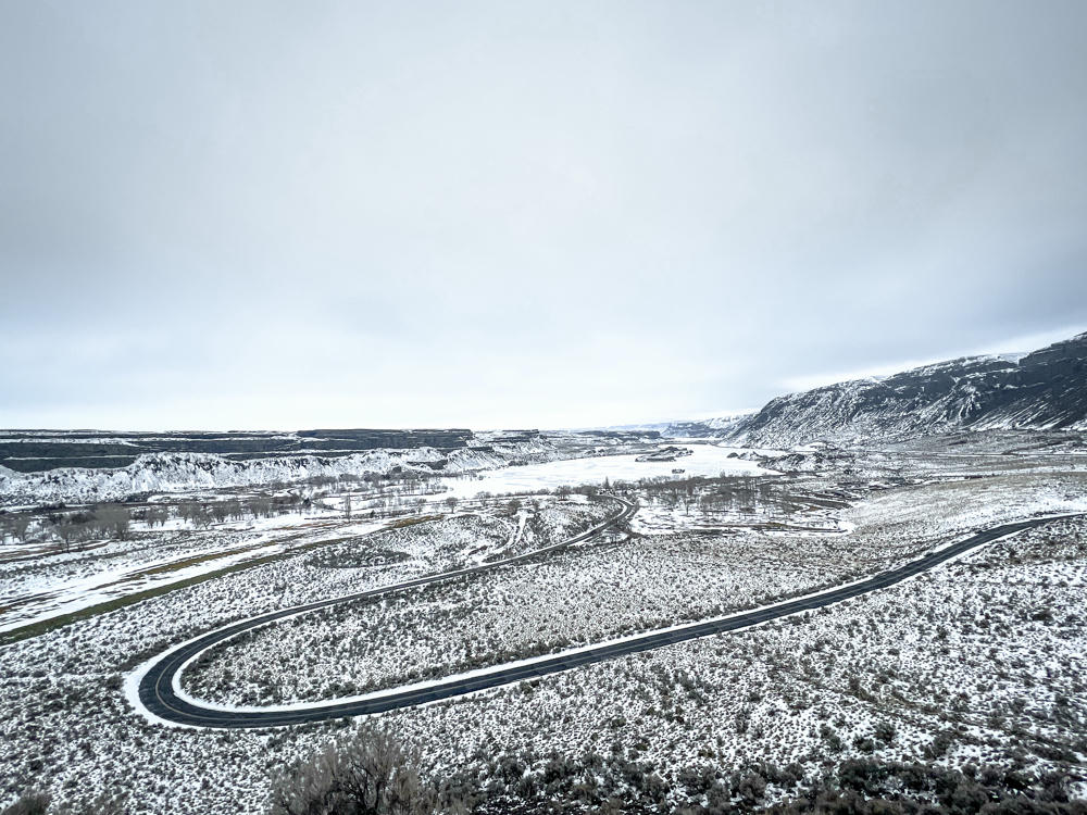
A snow-dusted desert coulee landscape under an overcast gray sky, with a winding two-lane road curving through sagebrush flats toward basalt cliffs and a frozen lake or river in the distance.
Sun Lakes–Dry Falls State Park, southwest of Coulee City, Washington
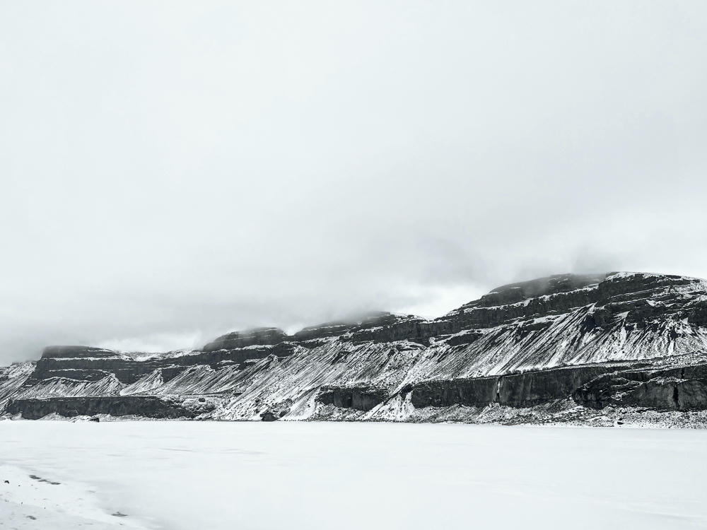
Snow-dusted basalt cliffs and terraced rock layers rise beneath a hazy, overcast sky, with low clouds clinging to their tops above a flat, snow-covered frozen lake in the foreground.
north of Soap Lake, Washington

to Spokane, Washington, and back over 3.5 days · 1351 km / 840 mi
(Mouse over or tap on the markers to see the photos there. Use the button to adjust the map’s position and zoom.)

If you’ve enjoyed this …

Subscribe to my free and occasional (never more than weekly) e-mail newsletter with my latest travel and other stories:

Or follow me on one or more of the socials: