Hi, I'm Eric.

I’m an avid world traveler, photographer, software developer, and digital storyteller.

I help implement the Content Authenticity Initiative at Adobe.

Search Results

Louisiana and Mississippi Day 8: Grand Isle

15 October 2022 385 km / 239 mi (map)

  • Added to Eric Scouten :: Travel on 10 December 2022
  • Louisiana 9

On our last full day of the trip, we decided to divide and conquer. I road-tripped again (shocker!) and Lisa explored the city a bit. My travels today took me to another coastal area, Grand Isle.

First, meet my friend “Henry Alex,” who seemed to be out of place (i.e. on land).
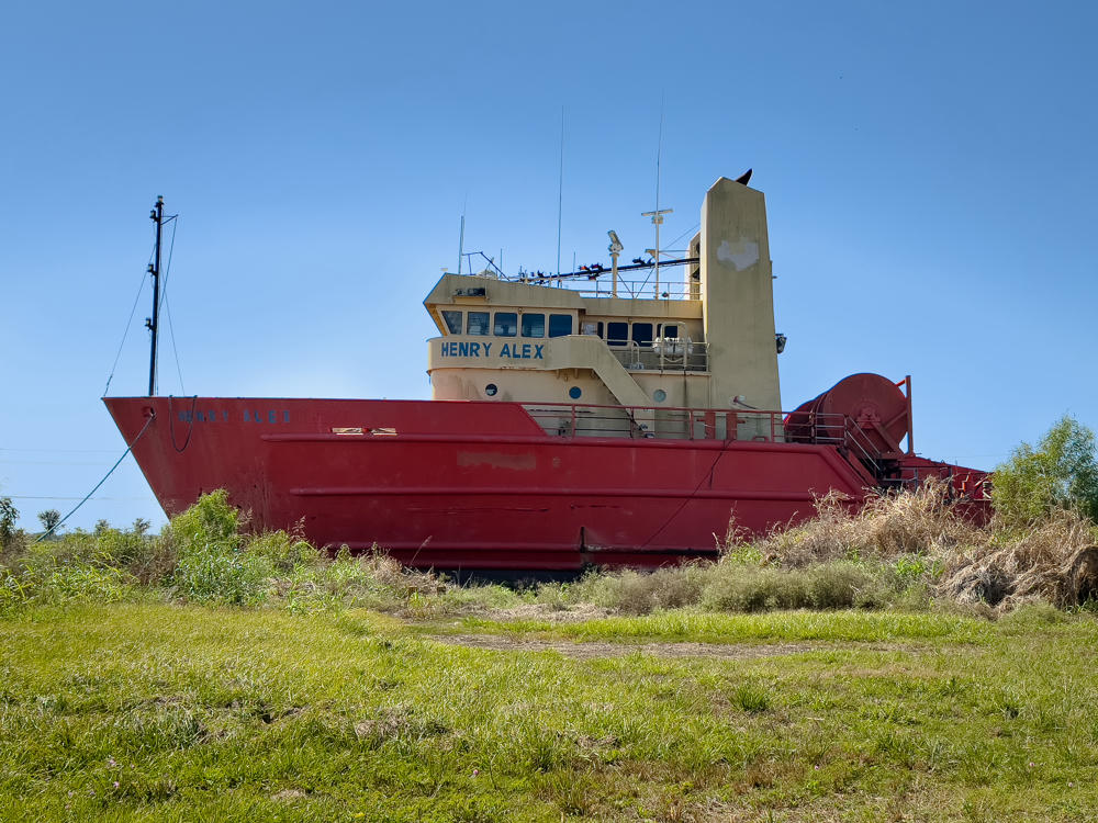
A rust-red hulled workboat named “Henry Alex” sitting on dry land amid tall grass and weeds, its cream-colored wheelhouse and antenna masts silhouetted against a clear purple-blue sky.
Henry Alex · west of Larose, Louisiana

Closer to the coast, the road was clinging to a fairly narrow strip of land.
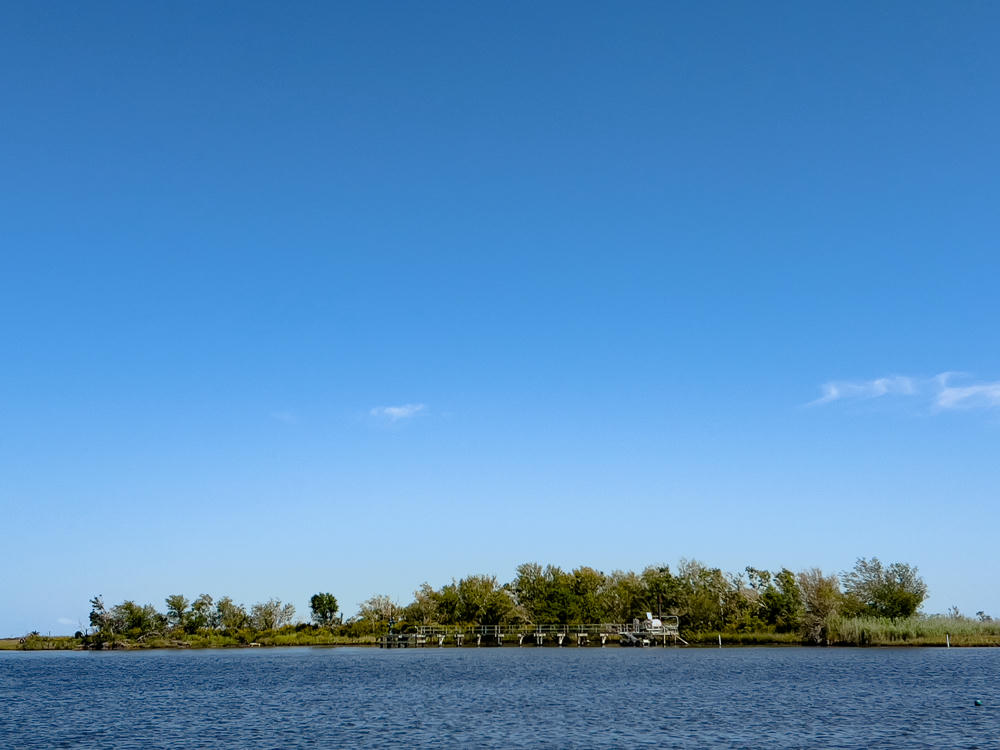
A wide expanse of clear blue sky over a low, tree-lined shore across a calm stretch of water, with a small dock and industrial structure visible at the waterline in the marshy Louisiana landscape.
south of Golden Meadow, Louisiana
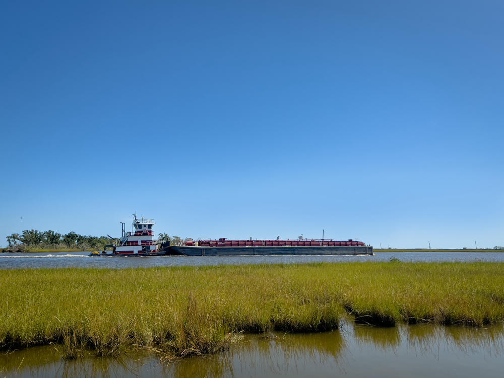
A red and white towboat pushes a long dark barge along a waterway through coastal marshland under a clear deep-blue sky, with green wetland grasses and a strip of open water in the foreground.
south of Golden Meadow, Louisiana
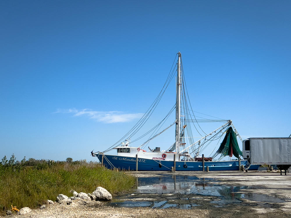
A blue and white shrimp boat named “St Martin VI” with tall rigging and green nets sits docked on a paved lot under a deep blue sky, with a refrigerated trailer parked beside it. In the foreground are grassy tufts, scattered white rocks, and puddles of standing water reflecting the sky.
Leeville, Louisiana

As in much of the Gulf Coast, homes in Grand Isle are built well above ground level in an effort to survive the storm surges that accompany hurricanes.
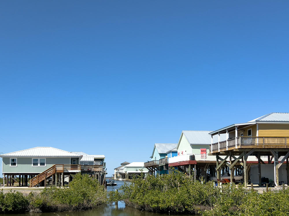
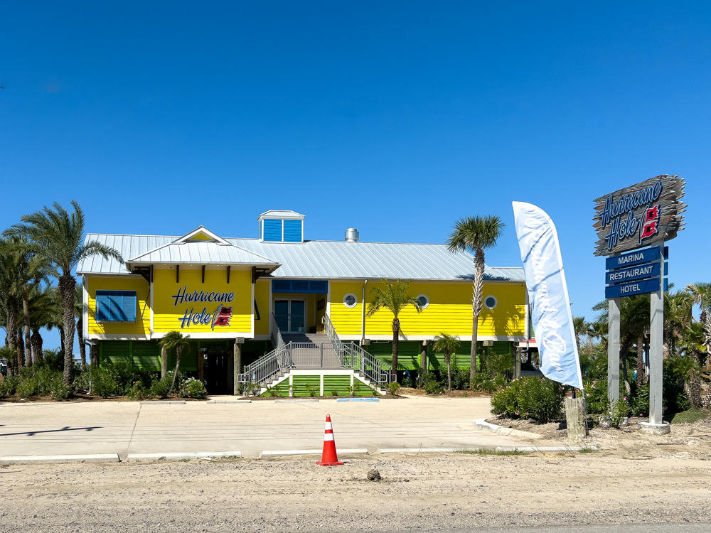
Grand Isle, Louisiana
A bright yellow, elevated coastal building with a metal roof and “Hurricane Hole” signage sits behind a paved lot lined with palm trees under a deep blue sky. A tall roadside sign reads Hurricane Hole with panels for Marina, Restaurant, and Hotel, and a white feather banner and orange traffic cone stand nearby.
Hurricane Hole · Grand Isle, Louisiana
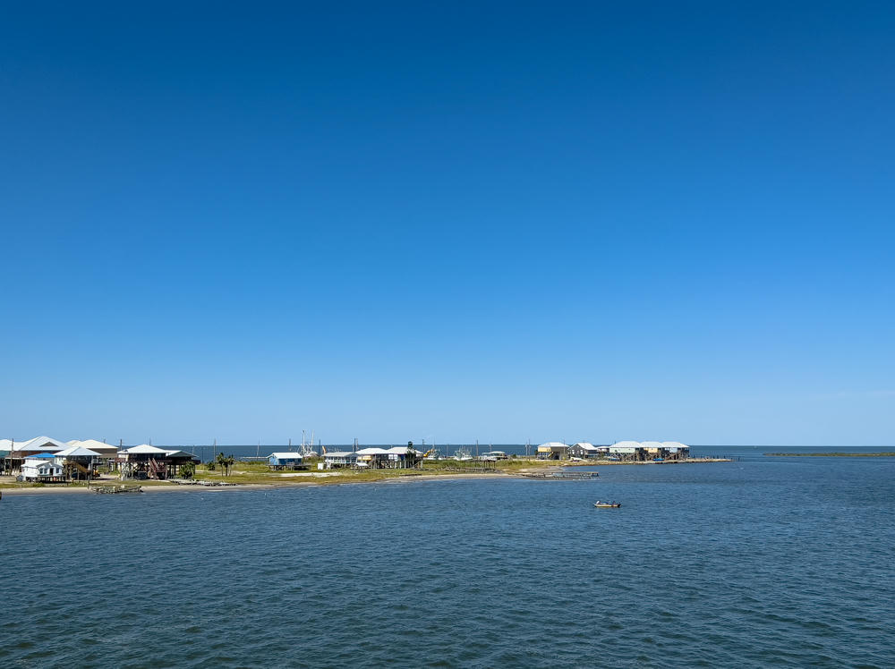
A low, sandy spit lined with stilt houses and fishing boats stretches across the horizon under a vast clear blue sky, with a small motorboat carrying two people on the calm water in the foreground.
Grand Isle, Louisiana

Part of my reason for wanting to visit Grand Isle was to satisfy a curiosity about the Gateway to the Gulf Expressway, one of the longest bridges in the world at more than 13km / 8 miles long.

Here is the south end of the bridge:
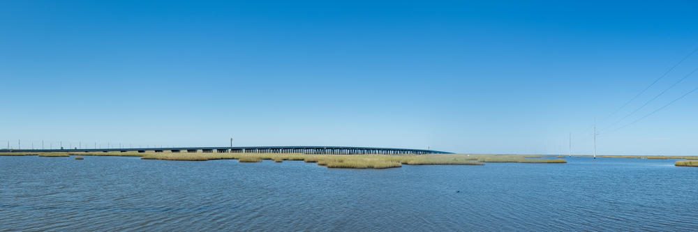
A wide coastal marsh under a clear blue sky, with rippling brackish water in the foreground, patches of golden marsh grass, and a long low bridge or causeway crossing the horizon in the distance.
north of Port Fourchon, Louisiana

I drove back along the old Highway 1. The new bridge is on the horizon, maybe half a mile from where I took this photo:
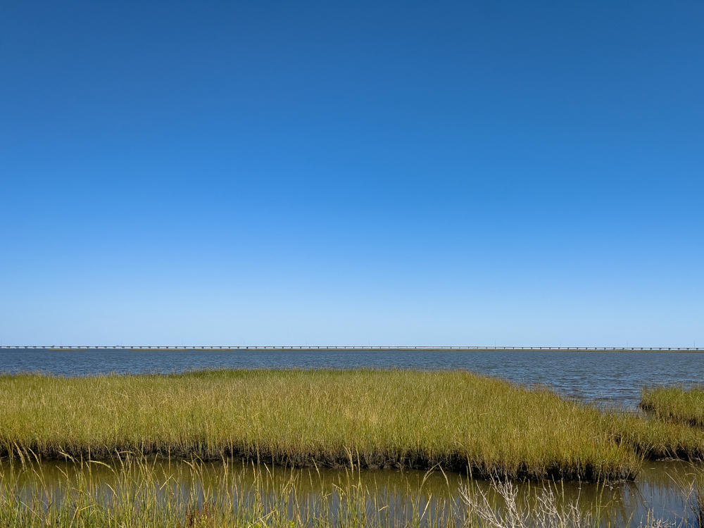
A coastal salt marsh with clumps of tall golden-green grass surrounding a still, brown tidal pool, under a clear deep-blue sky. In the distance a long, low causeway bridge spans across calm open water, and small yellow wildflowers bloom in the foreground.
north of Port Fourchon, Louisiana

And, finally, on the way back, here, again, is my friend Henry Alex, as seen from the other side of the river.
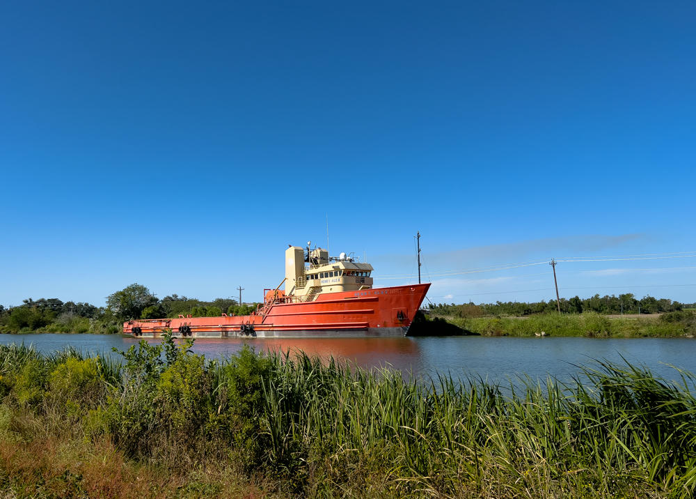
An orange offshore supply vessel with a cream-colored wheelhouse, named Henry Alex, sits in a calm waterway under a deep blue sky, with tall green marsh grasses in the foreground and low trees and power lines along the far bank.
west of Larose, Louisiana
New Orleans to Grand Isle, Louisiana, and back · 385 km / 239 mi
(Mouse over or tap on the markers to see the photos there. Use the button to adjust the map’s position and zoom.)

If you’ve enjoyed this …

Subscribe to my free and occasional (never more than weekly) e-mail newsletter with my latest travel and other stories:

Or follow me on one or more of the socials: