Hi, I'm Eric.
I’m an avid world traveler, photographer, software developer, and digital storyteller.
I help implement the Content Authenticity Initiative at Adobe.
Hi, I'm Eric.
I’m an avid world traveler, photographer, software developer, and digital storyteller.
I help implement the Content Authenticity Initiative at Adobe.
13 February 2024 • 62 km / 39 mi (map)
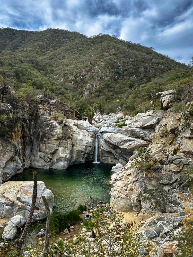
This morning, we departed Cabo Pulmo on our way to San José del Cabo. Along the way, we stopped at the scenic Cañón de la Zorra (Fox Canyon) for an afternoon hike.
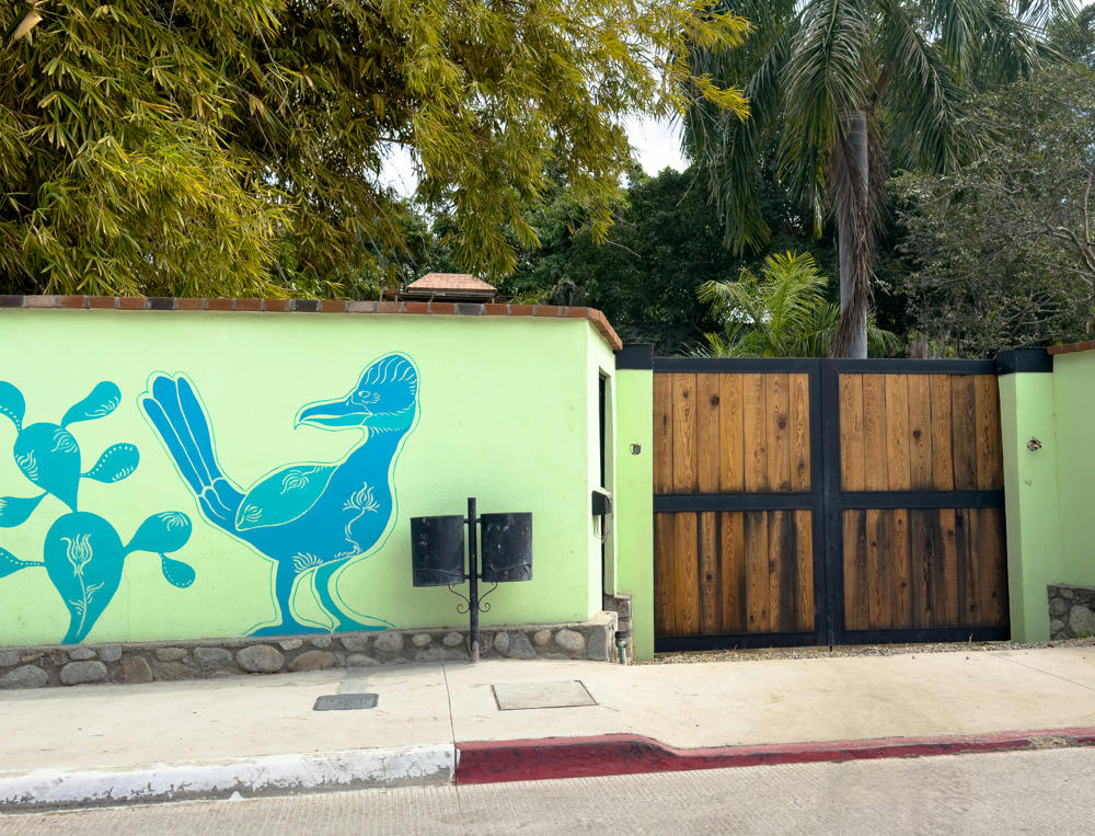
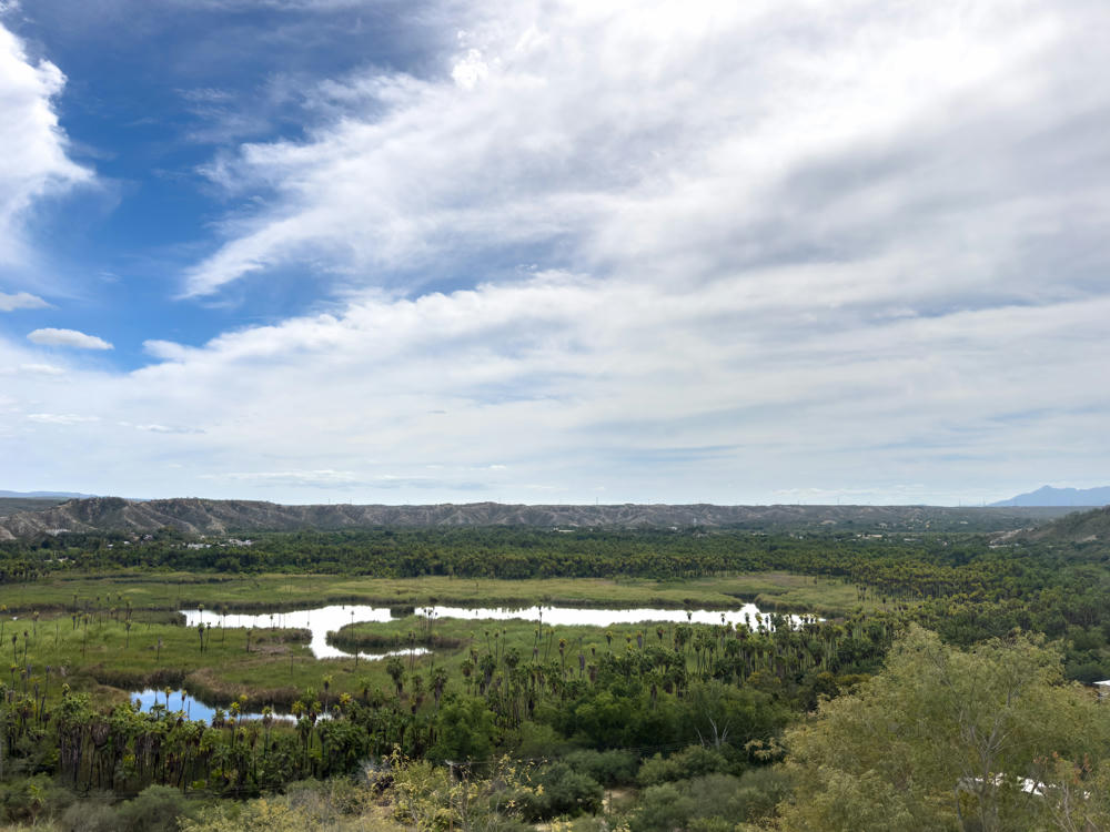
Our route took us through the town of Santiago, which is located on an inland lagoon.
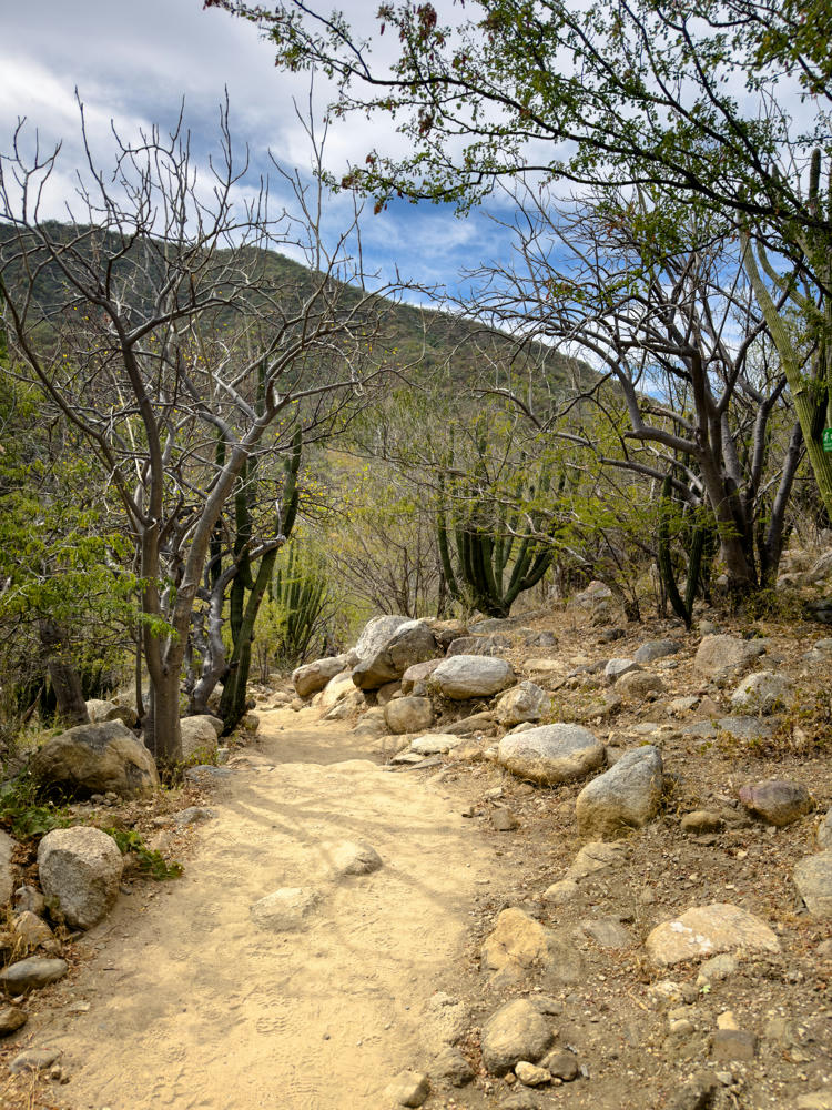
Once out of Santiago, the road quickly became another dusty washboard:
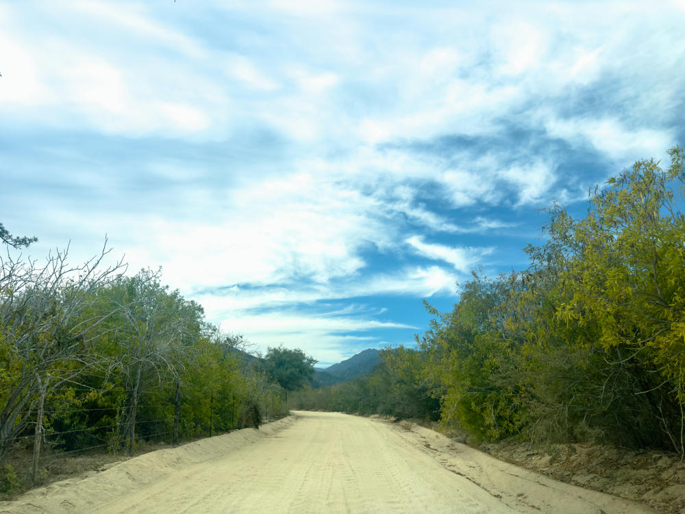
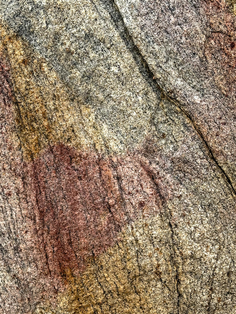
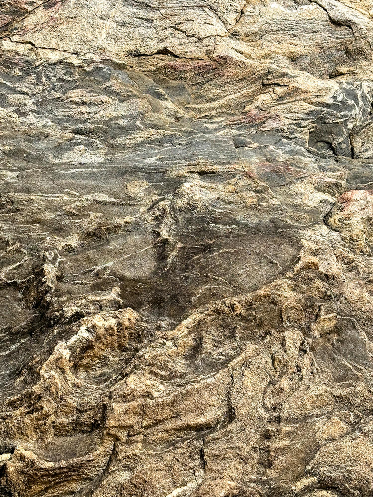
I’m often chided for taking “texture photos.” In case there was any question, I’ve met my match. Lisa takes texture photos, too!
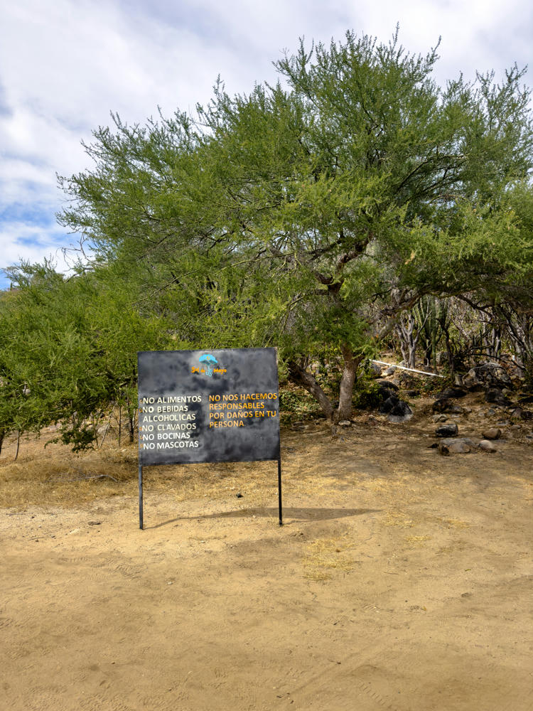
This is as close as we got to the waterfalls in the canyon. My knees were not too happy today, so we decided to avoid the stairs and climb down into the canyon. Here was the view from as close as we got:

Subscribe to my free and occasional (never more than weekly) e-mail newsletter with my latest travel and other stories:
Or follow me on one or more of the socials: