Hi, I'm Eric.

I’m an avid world traveler, photographer, software developer, and digital storyteller.

I help implement the Content Authenticity Initiative at Adobe.

Search Results

East Coast Part 8: The Long Flight Home

19 May 2024 4094 km / 2544 mi (map)

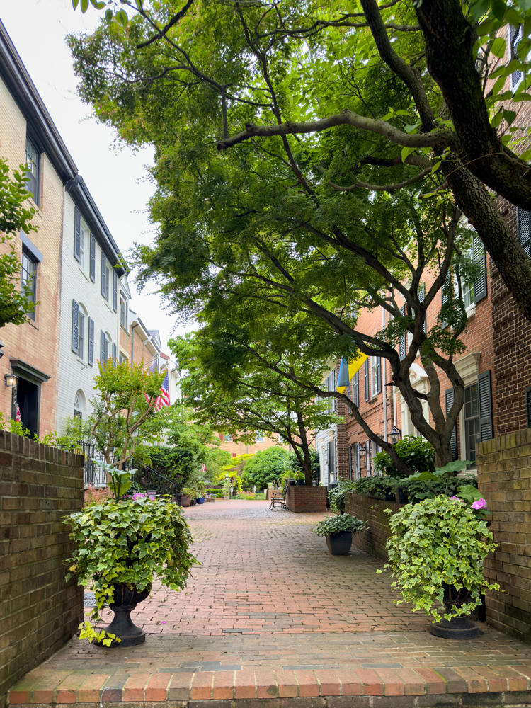
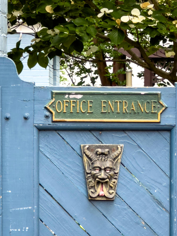
It was time to return home today. We took a little time to have lunch and walk around Alexandria, then headed to the airport for our flight home.
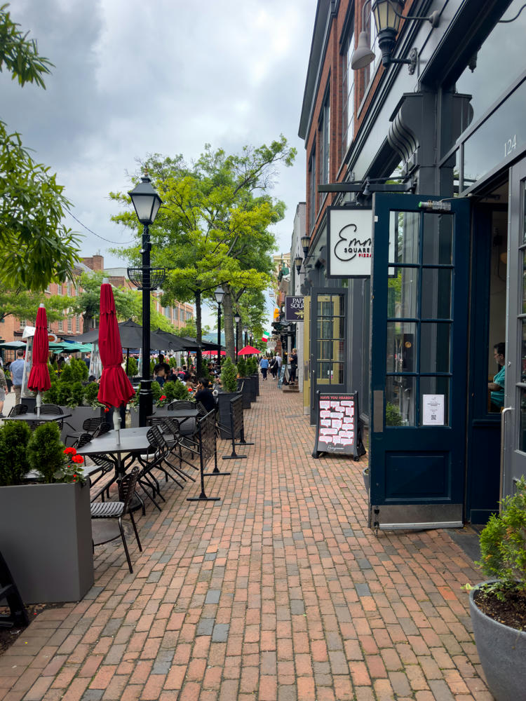

Alexandria, Virginia
The corner of an old red brick building with a faded painted ghost sign reading “Walter Roberts Inc. Hay, Grain, Flour, Feed, Office,” along with black star-shaped anchors and gooseneck lamps. Below, an outdoor patio with black umbrellas is screened by a row of cone-shaped evergreen shrubs in gray planters, a white “One Way” arrow sign on the wall, and a metal barricade beside a brick and asphalt street.
Walter Roberts, Inc. · Alexandria, Virginia
Alexandria, Virginia

The window seat offered some fun views:
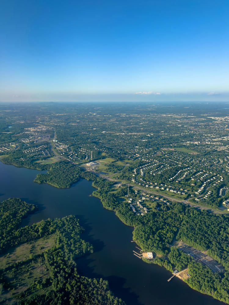
An aerial view over Ashburn, Virginia, showing a dark winding lake fringed by dense green forest in the foreground, with sprawling suburban neighborhoods, roads, and tree-lined streets stretching to a hazy horizon under a clear blue sky.
above Ashburn, Virginia

It got a bit choppy mid-flight. Turns out we were dodging around some storms. If you look at the track log at the end of the page, you’ll see that was a recurring theme of tonight’s flight.
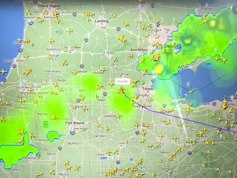

above Lyons, Ohio
An aerial view from high above the clouds, showing fluffy white cumulus clouds scattered over the land below, with a deep blue sky and wispy cirrus clouds stretching toward the horizon. The faint patchwork of ground is visible far beneath the clouds.
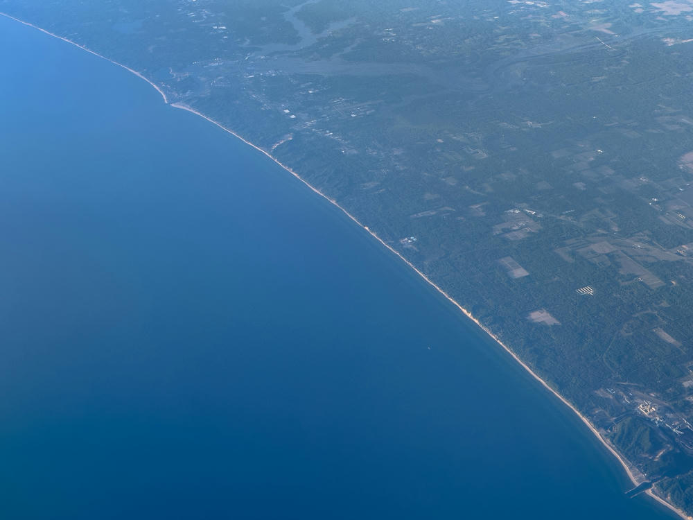
above Sand Creek, Michigan
A high-altitude aerial view of the Lake Michigan shoreline near Macatawa, Michigan, with deep blue water filling the left half and a thin pale beach line separating it from forested land, farm fields, and inland waterways on the right, all softened by atmospheric blue haze.
The shore of Lake Michigan as seen from an aerial view. · above Lake Michigan, near Macatawa, Michigan
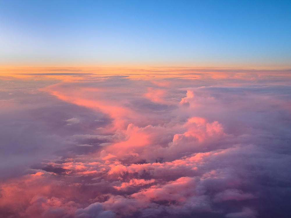
An aerial view from high above a vast layer of clouds at dusk, with pink and orange light warming the cloud tops while a clear blue sky deepens overhead and a soft golden glow lingers near the horizon.
above Keller, Washington
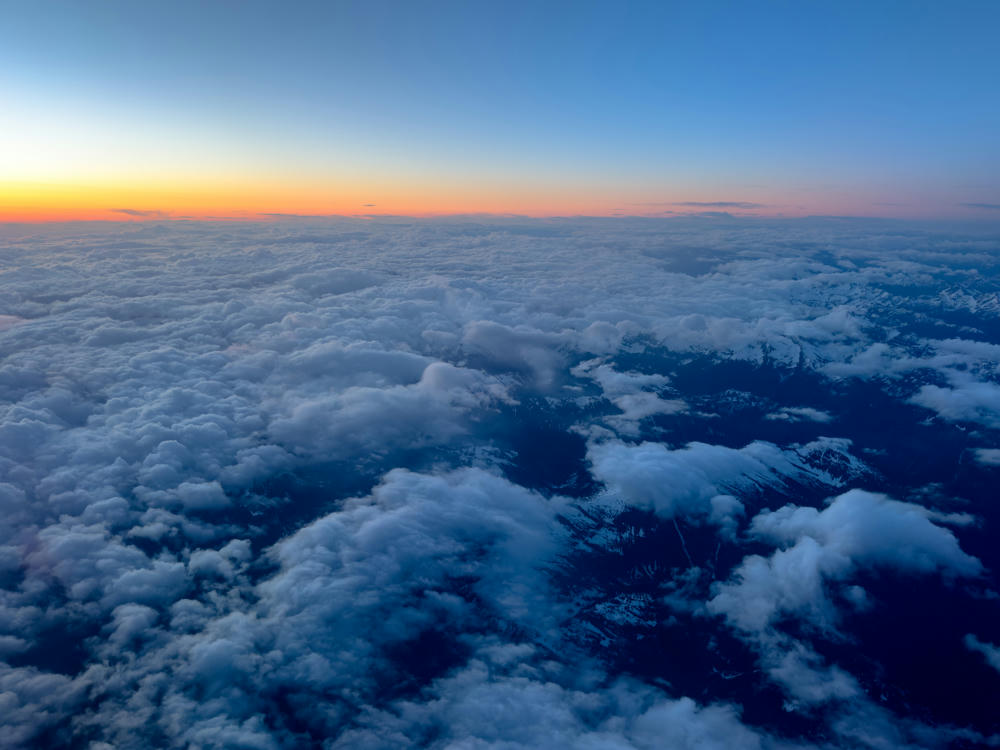
An aerial view from high altitude showing a vast blanket of clouds below, with snow-dusted mountain ridges peeking through gaps on the right side. The horizon glows orange and pink beneath a deepening blue twilight sky.
above Berne, Washington
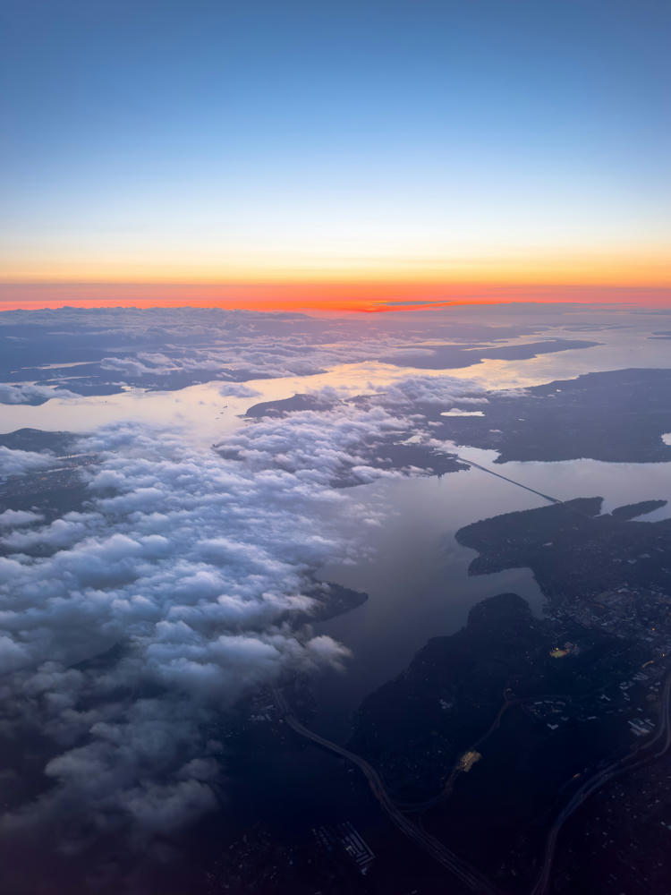
An aerial view at dusk over Bellevue, Washington, looking across lakes and waterways with patchy white clouds drifting over the land below. The horizon glows in bands of orange and red beneath a deep blue sky, with a long floating bridge visible crossing the water and city lights faintly twinkling in the darkened terrain.
above Bellevue, Washington
Fairfax, Virginia, to Poulsbo, Washington · 4094 km / 2544 mi
(Mouse over or tap on the markers to see the photos there. Use the button to adjust the map’s position and zoom.)

If you’ve enjoyed this …

Subscribe to my free and occasional (never more than weekly) e-mail newsletter with my latest travel and other stories:

Or follow me on one or more of the socials: