Hi, I'm Eric.

I’m an avid world traveler, photographer, software developer, and digital storyteller.

I help implement the Content Authenticity Initiative at Adobe.

Search Results

Central Washington and Washington Pass

29 June 2024 1123 km / 698 mi (map)

  • Added to Eric Scouten :: Travel on 25 August 2024
  • Washington 75

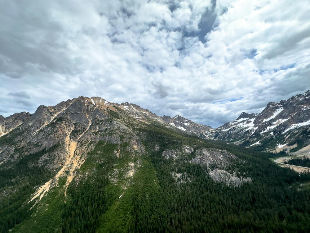
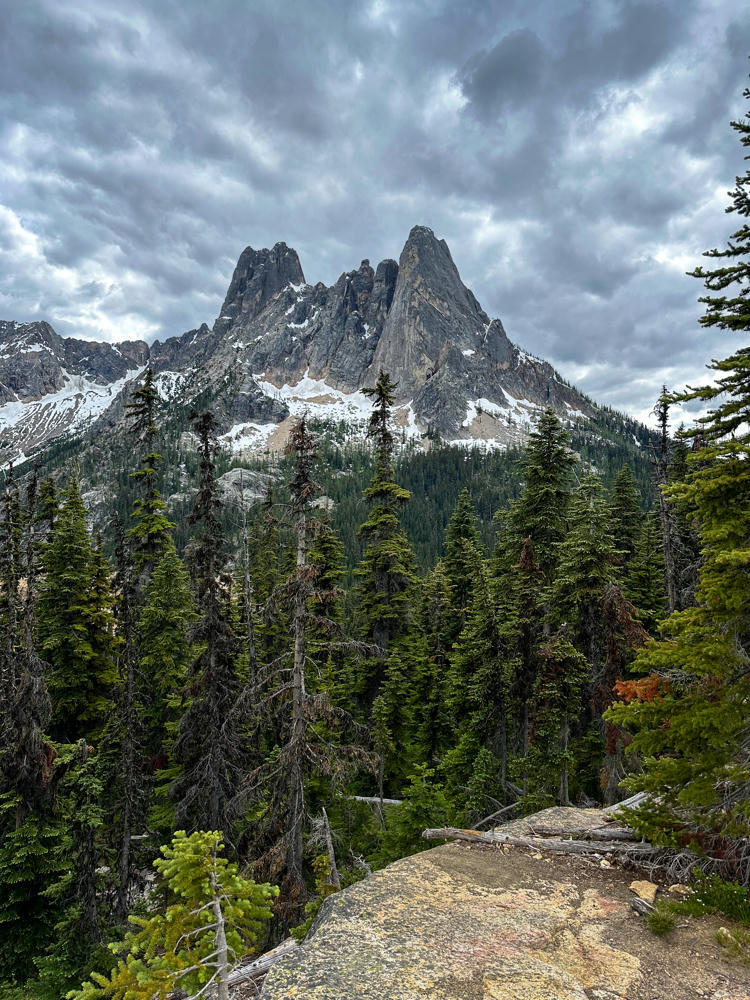
Lisa and I took a long weekend to explore central Washington a bit. Not a lot to share other than the new parks over at 146 Parks, but we did enjoy the views at Washington Pass on Highway 20.
Washington Pass Vista Point, west of Mazama, Washington
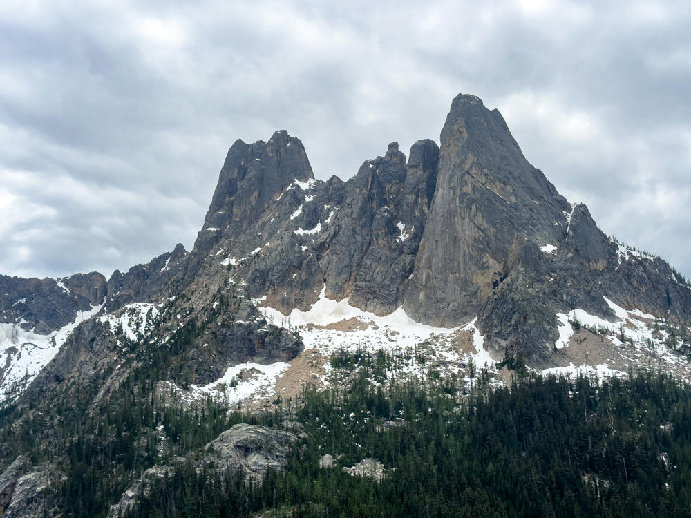
Jagged granite spires rising sharply against an overcast gray sky, with patches of snow clinging to the rocky slopes and a dense evergreen forest blanketing the lower mountainside.
Washington Pass Vista Point, west of Mazama, Washington
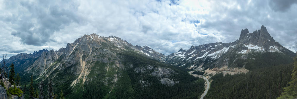
A sweeping mountain vista of rugged, partly snow-capped peaks rising above evergreen-forested slopes, with patches of bare rock and scree, under a dramatic sky filled with broken gray and white clouds. A winding mountain highway is faintly visible curving through the valley on the right side.
Washington Pass Vista Point, west of Mazama, Washington
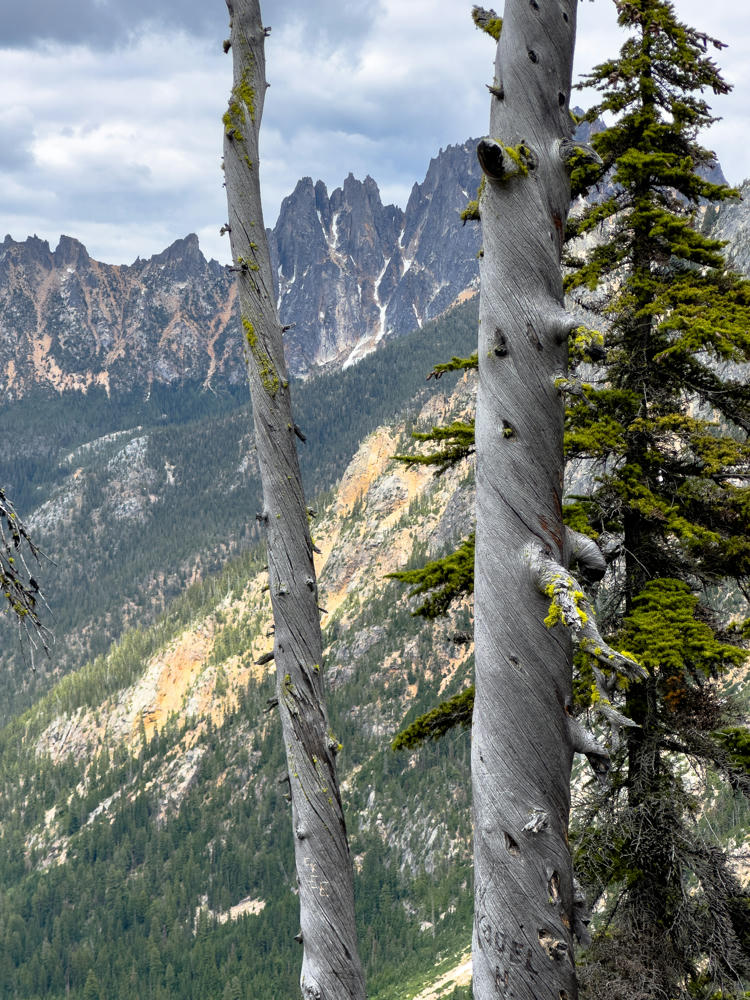
Washington Pass Vista Point, west of Mazama, Washington · by Lisa Rozmyn
Two weathered, silvery-gray dead tree trunks stand in the foreground with a green conifer beside them, framing a view of jagged rocky mountain spires and forested slopes under an overcast gray sky.
Washington Pass Vista Point, west of Mazama, Washington
Poulsbo to Republic, Washington, and back · 1123 km / 698 mi
(Mouse over or tap on the markers to see the photos there. Use the button to adjust the map’s position and zoom.)

If you’ve enjoyed this …

Subscribe to my free and occasional (never more than weekly) e-mail newsletter with my latest travel and other stories:

Or follow me on one or more of the socials: