Hi, I'm Eric.

I’m an avid world traveler, photographer, software developer, and digital storyteller.

I help implement the Content Authenticity Initiative at Adobe.

Search Results

Mexico Part 2: Camino Viejo

26 November 2024 170 km / 106 mi (map)

  • Added to Eric Scouten :: Travel on 15 December 2024
  • Mexico 13

We’ve rented a car for a few days to explore beyond the bounds of our resort for a bit.

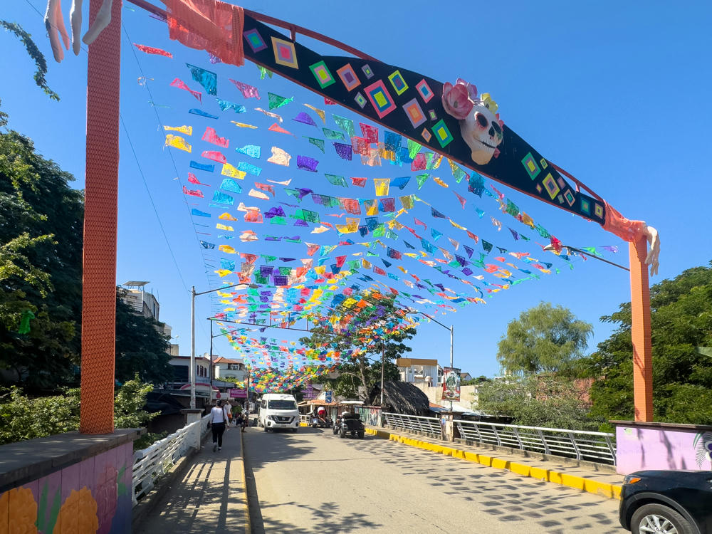
We had heard some good things about Sayulita a bit to our north. Aside from a brief bovine traffic jam, the driving there was pretty smooth.
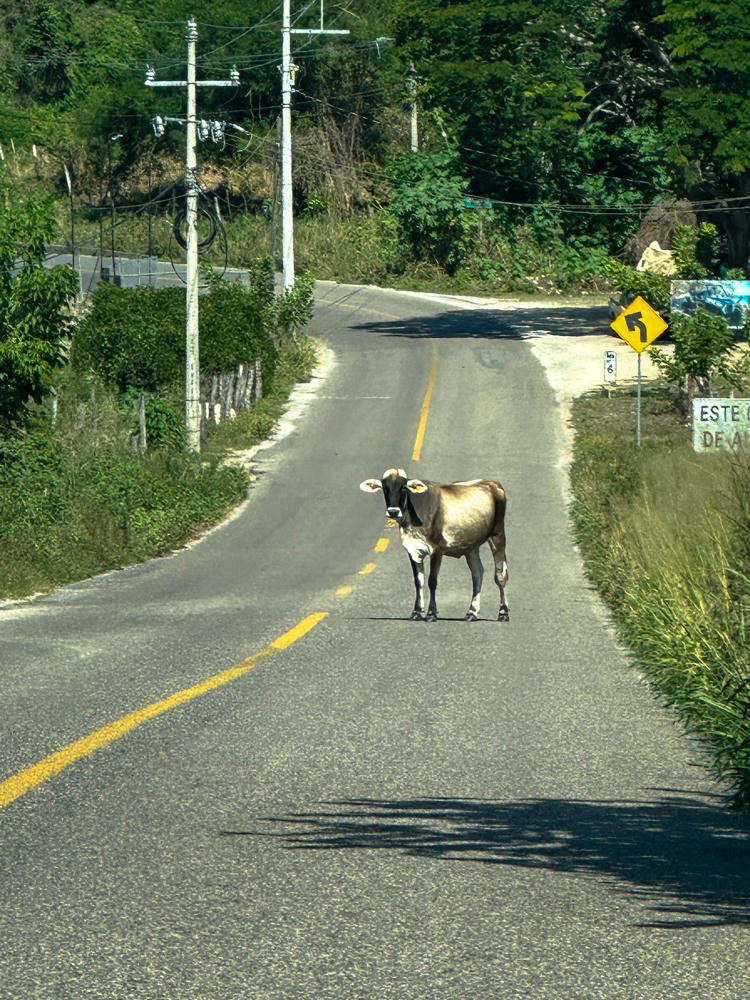
south of Sayulita, Nayarit, Mexico · by Lisa Rozmyn

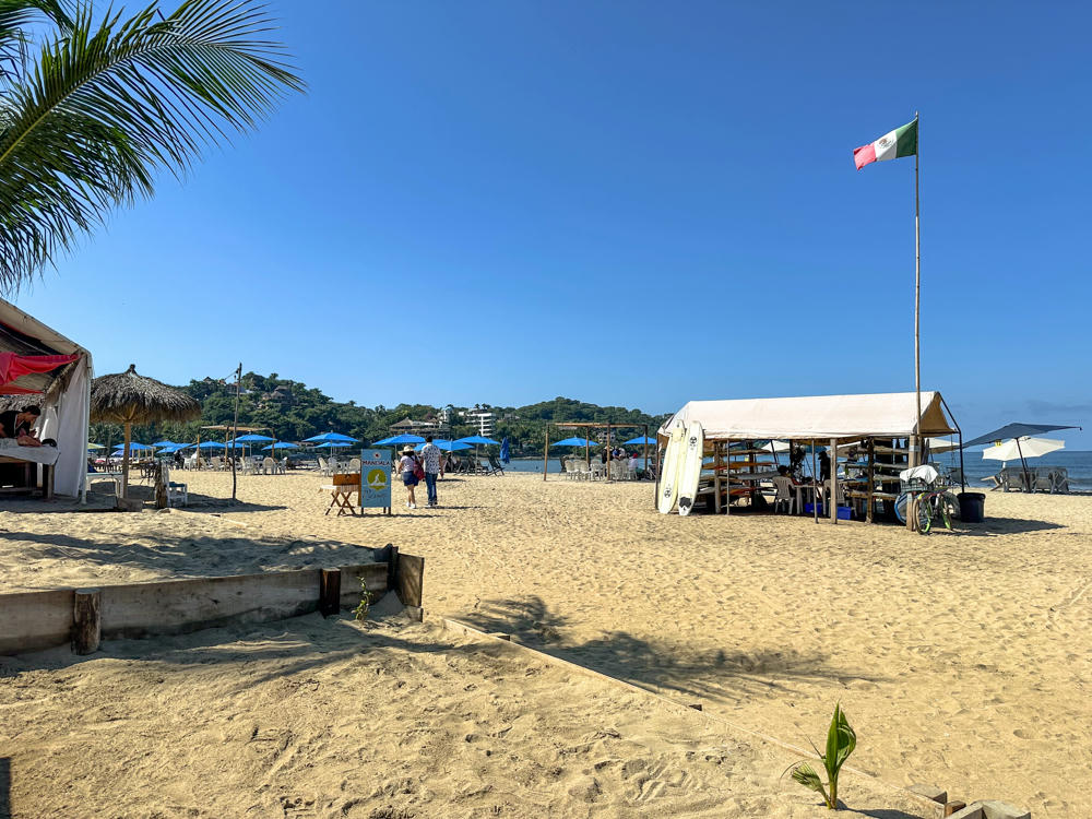
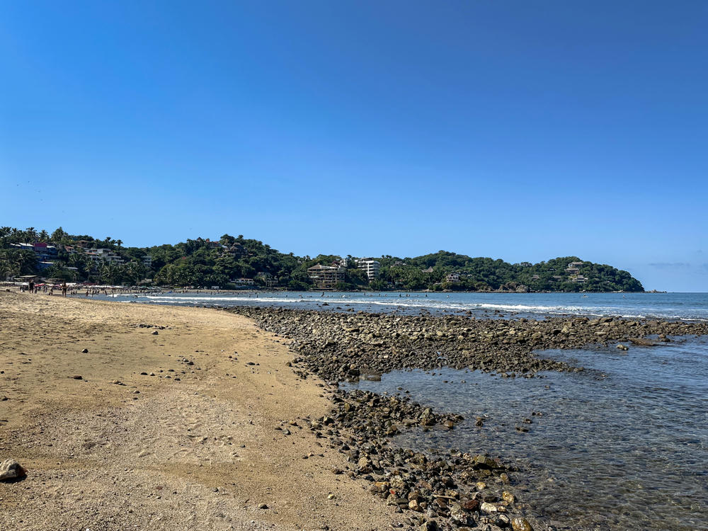
We stopped in Sayulita to explore a bit, walk along the beach, and have some lunch.
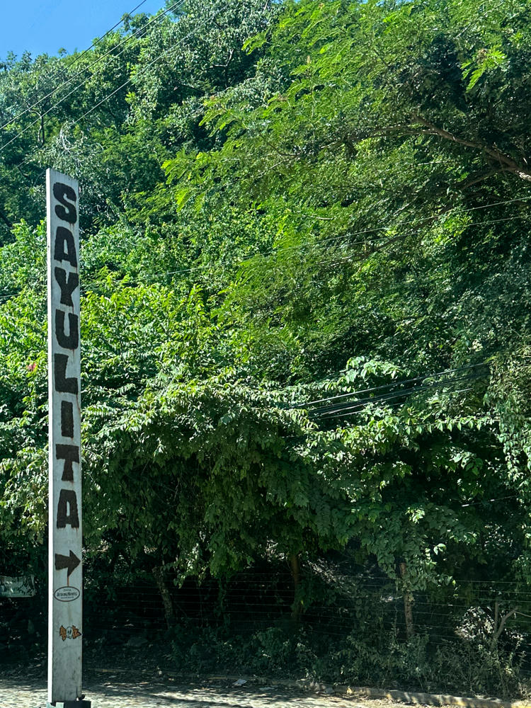
Sayulita, Nayarit, Mexico · by Lisa Rozmyn
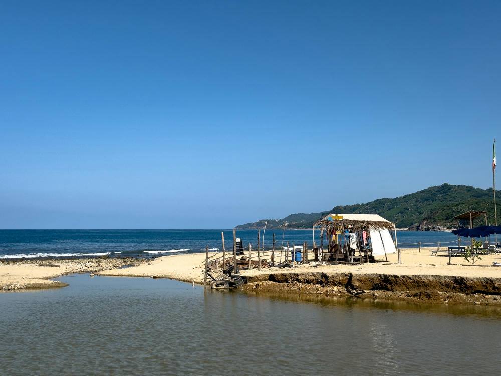
Sayulita, Nayarit, Mexico
A beach where a river mouth meets the ocean, with a sandy spit holding a palapa-roofed canvas tent, old tires, and a blue beach umbrella. A green forested headland rises in the distance under a clear blue sky, with waves breaking along the shore.
Sayulita, Nayarit, Mexico
Sayulita, Nayarit, Mexico · by Lisa Rozmyn
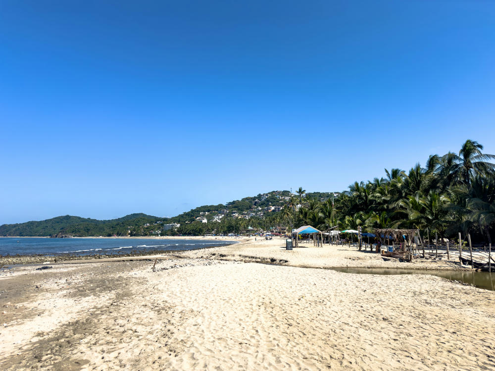
A wide sandy beach in Sayulita under a clear deep-blue sky, with footprints in the foreground, palm trees and palapa-roofed beach shelters on the right, and forested hills dotted with houses curving along the bay in the distance. The ocean sweeps in along the left, with a shallow lagoon visible on the right.
Sayulita, Nayarit, Mexico
Sayulita, Nayarit, Mexico · by Lisa Rozmyn

The way back got a bit … interesting. The main road (Mexican route 200D) is a toll road requiring exact change, which in this age of debit cards, we didn’t have. What few ATMs we encountered offered only US dollars. Not helpful. So we plotted an alternate route back.

How bad can the Camino Viejo a Puerto Vallarta (old road) be? It turned out to be very nicely paved and not very much used.
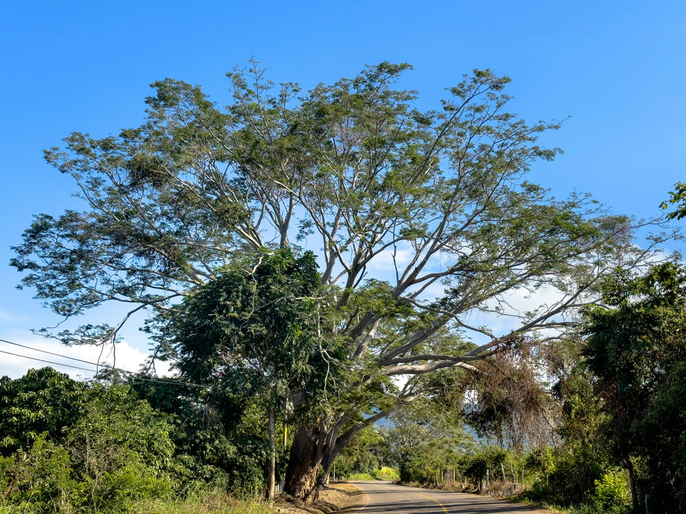
A large spreading tree with pale branches and a wide green canopy stands beside a rural two-lane road, set against a clear blue sky with low clouds near the horizon. Dense roadside vegetation lines both sides of the asphalt road, with hills faintly visible in the distance.
southeast of La Puerta de la Lima, Nayarit, Mexico
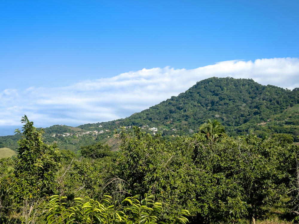
A lush, forest-covered mountain rises against a bright blue sky with a long band of white clouds, while green leafy treetops and scattered hillside houses fill the foreground near Altavista, Nayarit, Mexico.
west of Altavista, Nayarit, Mexico

Oh, ummm … did I say this road was “very nicely paved?”

About that …

Turns out the viejo part of the name was spot on.

But, what the heck? In for a dime, in for a dollar, right? We enjoyed the ride, even if it was rustic and slow.
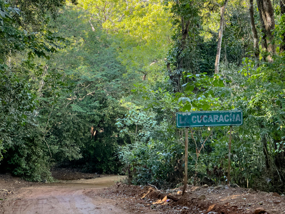
La Cucaracha · south of Altavista, Nayarit, Mexico
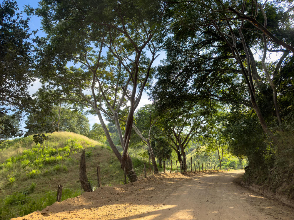
A dirt road winds through rural countryside, lined with a wooden post-and-wire fence and shaded by large leafy trees that arch overhead. To the left, grassy green hills rise under a blue sky scattered with light clouds.
north of Nuevo Ixtlán, Nayarit, Mexico

I wish I had caught a picture of our car. It was spectacularly dusty when we came back.

Lisa says we should consider renting a Jeep or some other four-wheel-drive car when we travel abroad in future.

Nuevo Vallarta to Sayulita, Nayarit, Mexico, and back · 170 km / 106 mi
(Mouse over or tap on the markers to see the photos there. Use the button to adjust the map’s position and zoom.)

If you’ve enjoyed this …

Subscribe to my free and occasional (never more than weekly) e-mail newsletter with my latest travel and other stories:

Or follow me on one or more of the socials: