Hi, I'm Eric.

I’m an avid world traveler, photographer, software developer, and digital storyteller.

I help implement the Content Authenticity Initiative at Adobe.

Search Results

South Africa and Lesotho Day 5: To Lesotho

27 February 2026 1962 km / 1219 mi (map)

“There is a border nearby … I must cross it!” I might have to ask that this be engraved on my tombstone. It is so me.

Anyway, here we are, having flown and driven across much of South Africa and into Lesotho, which is a mountain hideaway embedded entirely within South Africa.

We left Stellenbosch early this morning to make a 9am flight out of Cape Town. Here is a sunrise peek at Cape Town’s famous Table Mountain on our way to the airport.
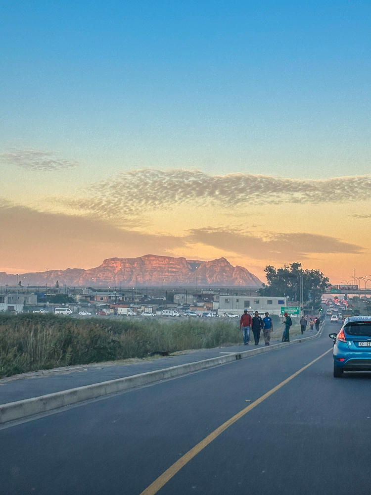
Cape Town, Western Cape, South Africa · by Lisa Rozmyn

I had a window seat on the flight from Cape Town to Johannesburg; that gave me the opportunity to capture the many climates and landscapes along the way.
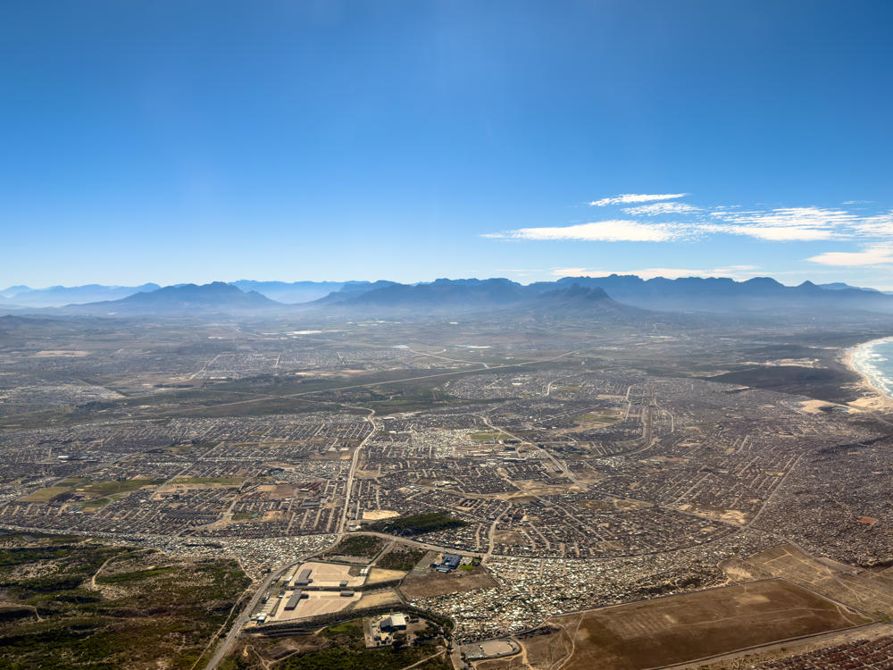
An aerial view of a sprawling coastal city spreading across a hazy plain toward distant mountain ranges, with sandy beaches and ocean surf along the right edge under a clear blue morning sky dotted with a thin streak of cloud.
above Cape Town, Western Cape, South Africa
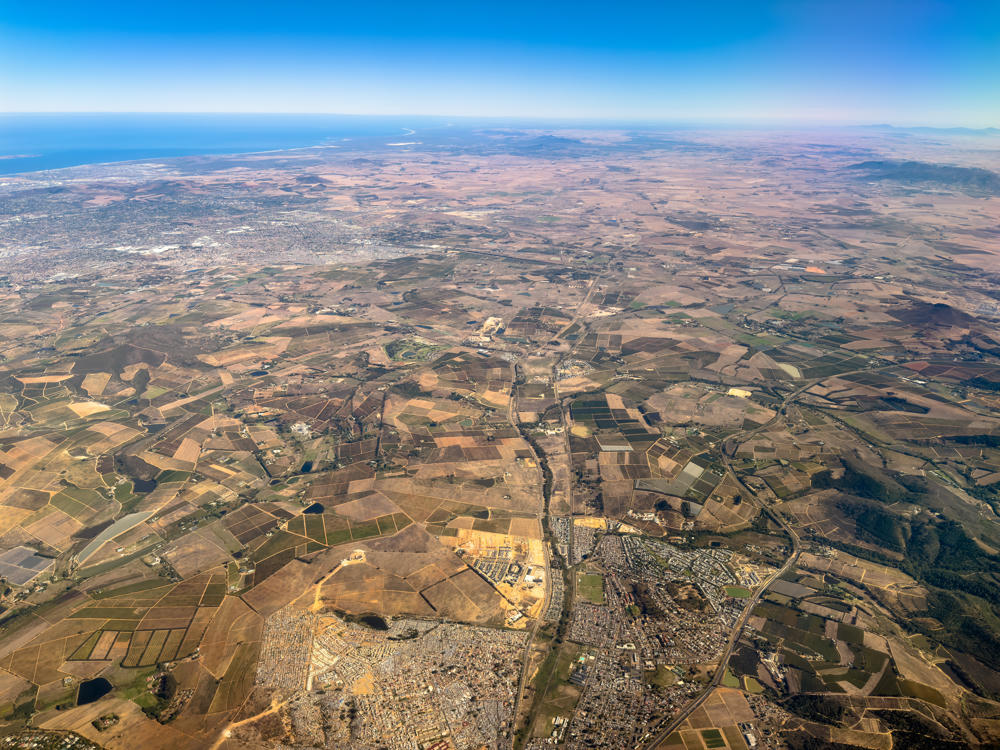
above Stellenbosch, Western Cape, South Africa
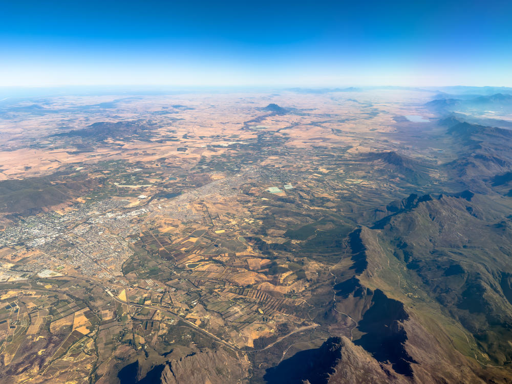
A high-altitude aerial view over Paarl in the Western Cape, South Africa, showing a sprawling town surrounded by patchwork farmland and vineyards, with rugged mountain ranges rising on the right and a hazy plain stretching to the horizon under a clear blue sky.
above Paarl, Western Cape, South Africa
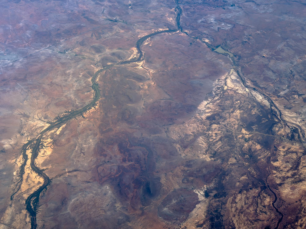
An aerial view of arid, reddish-brown semi-desert terrain near Britstown in South Africa’s Northern Cape, with dark winding dry riverbeds threading across the land and patches of pale, eroded rock and scattered vegetation.
above Britstown, Northern Cape, South Africa
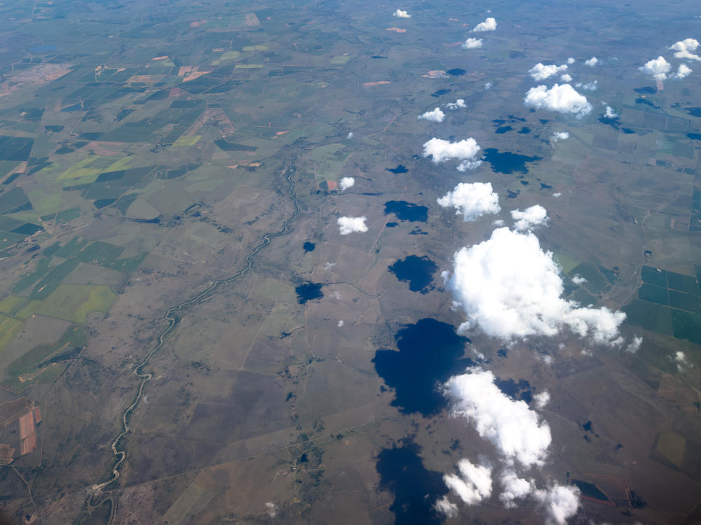
above Vredefort, Free State, South Africa
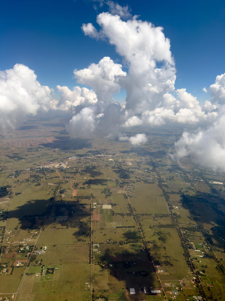
An aerial view from over Vereeniging, Gauteng, South Africa, showing a patchwork of green and brown farmland divided into rectangular plots by roads and tree lines, with scattered buildings and a dense urban township visible on the left horizon. Towering white cumulus clouds rise into a deep blue sky, casting shadows across the landscape below.
above Vereeniging, Gauteng, South Africa
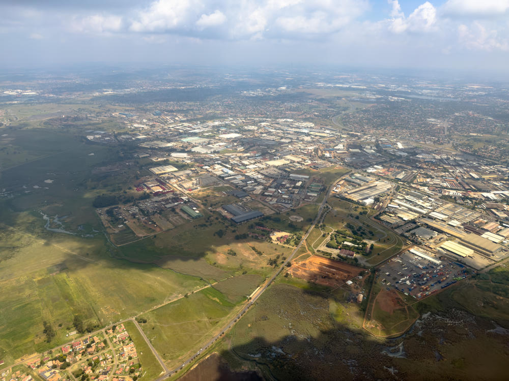
A high aerial view over Germiston, Gauteng, showing a sprawling industrial landscape of warehouses and factories with white and grey rooftops, edged by green open fields, a small residential neighbourhood, and a long straight road cutting through the scene. The hazy horizon stretches far into the distance under a partly cloudy sky.
above Germiston, Gauteng, South Africa

Something they don’t tell you when booking domestic flights within South Africa: When you connect from one flight to another, you have to exit security, collect your baggage, re-check it on the next flight, and then re-enter the secure area of the airport. That was … a little hair-raising. Thankfully, our flight into Johannesburg landed a bit early, so we were able to make it through on time.

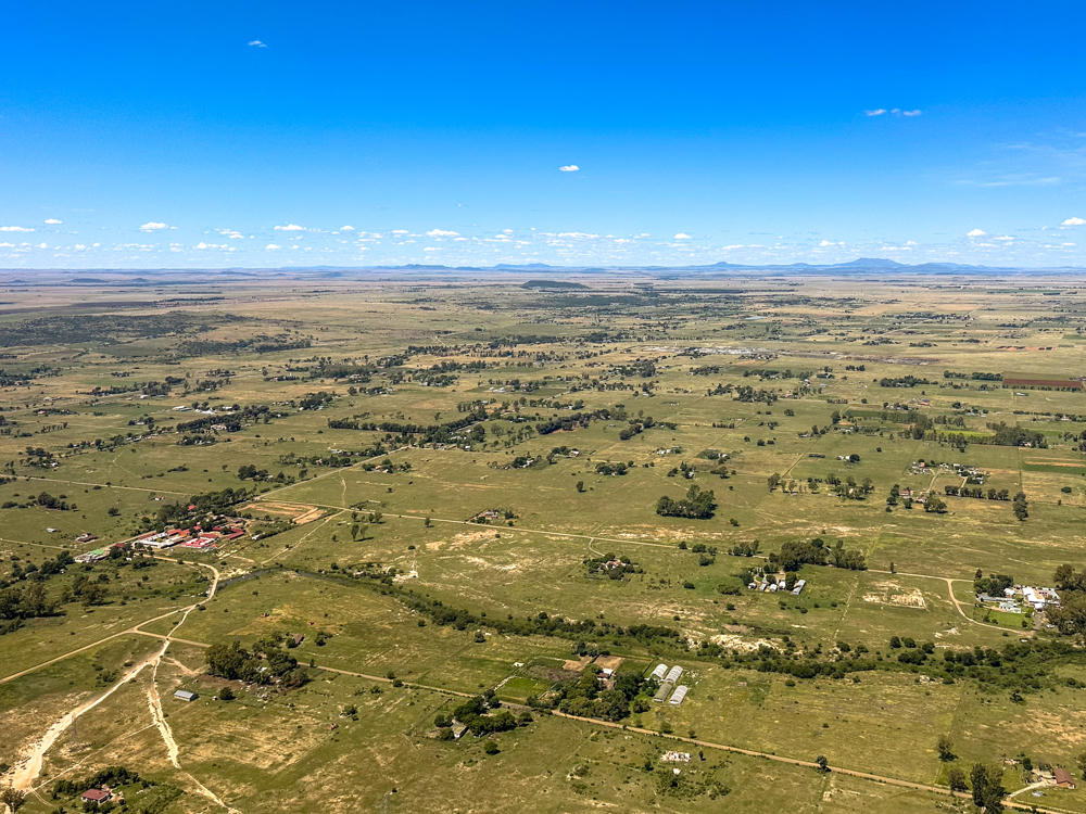
Lisa had the window seat on our way to Bloemfontein. She captured a bit of the scenery along that route:
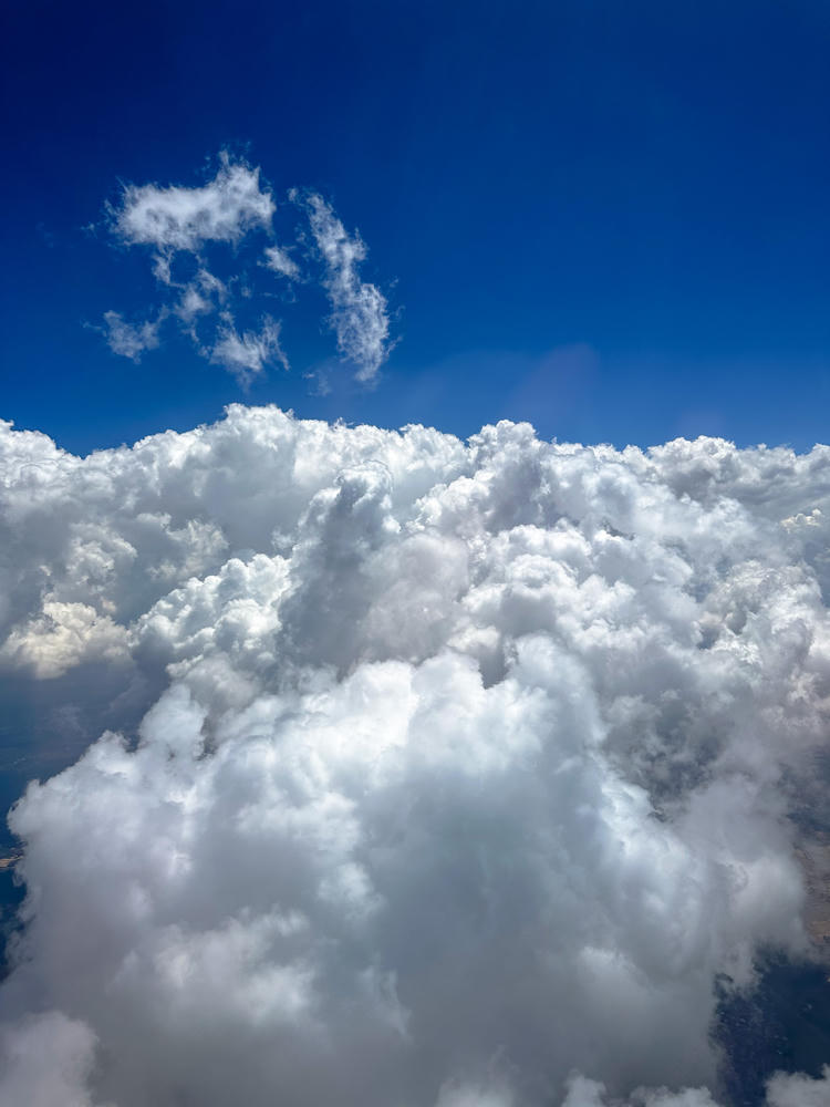
above Schoongezicht AH, Gauteng, South Africa · by Lisa Rozmyn
above Bloemfontein, Free State, South Africa · by Lisa Rozmyn

It’s a bit more than an hour from Bloemfontein to the border crossing into Lesotho. Given that we were calling it close to nightfall by the time we started the journey, we chose to stop only once for photos along the way. A shame, because it was a truly beautiful landscape.
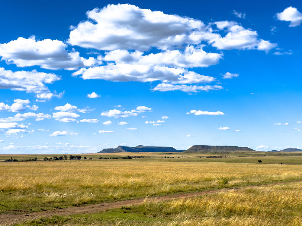
A wide grassland plain of golden, dry grass stretches toward a low range of flat-topped hills and buttes on the horizon, with a faint dirt track curving through the foreground under a bright blue sky scattered with puffy white clouds.
north of Botshabelo, Free State, South Africa

(In good news, we were able to drive fast along the way. For my North American friends, 120 in a red circle means speed limit 120 km/h or 75 mph.)
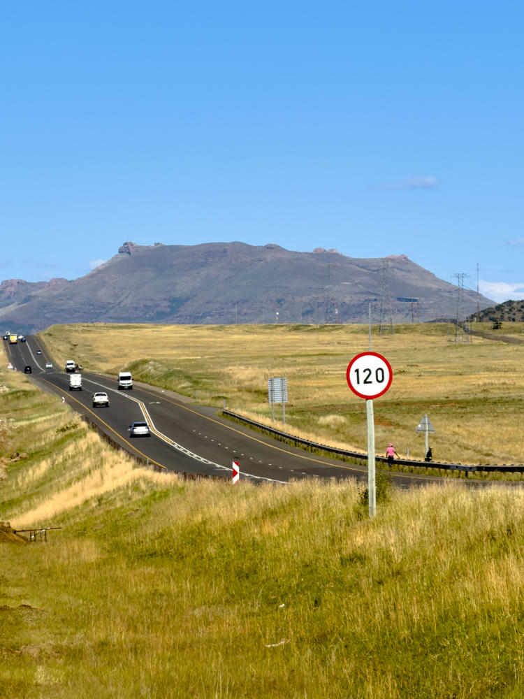
A two-lane highway curving through open golden grassland with several cars and a minibus traveling on it, and a round 120 km/h speed limit sign on a pole in the foreground. Two pedestrians walk along the roadside under a clear blue sky, with a long flat-topped mountain ridge and electricity pylons on the horizon.
north of Botshabelo, Free State, South Africa

We arrived at our AirBNB well after dark, but we feel very much at home. Looking forward to exploring our surrounds tomorrow!
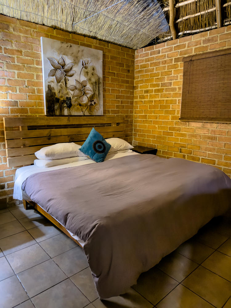
Casa Tumi, north of Makhalaneng, Lesotho
Cape Town, Western Cape, South Africa, to Makhalaneng, Lesotho · 1962 km / 1219 mi
(Mouse over or tap on the markers to see the photos there. Use the button to adjust the map’s position and zoom.)

If you’ve enjoyed this …

Subscribe to my free and occasional (never more than weekly) e-mail newsletter with my latest travel and other stories:

Or follow me on one or more of the socials: