Hi, I'm Eric.

I’m an avid world traveler, photographer, software developer, and digital storyteller.

I help implement the Content Authenticity Initiative at Adobe.

Search Results

South Africa and Lesotho Day 7: Waterfalls and Wild Weather, Oh My!

1 March 2026 139 km / 86 mi (map)

  • Added to Eric Scouten :: Travel on 30 March 2026
  • Lesotho 4

Our host informed us that we really must see Maletsunyane Falls, about 60 km / 35 miles south of our inn. We made the trip today and it was indeed a spectacular sight.

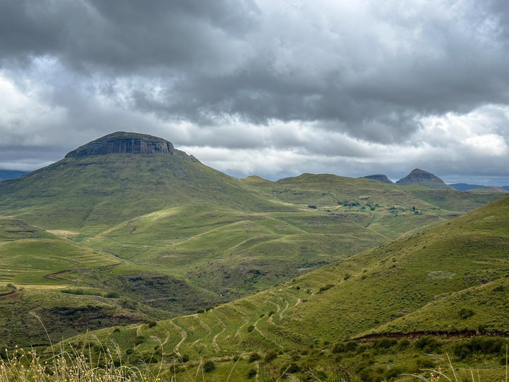
Today’s weather – during the drive, at least – was much nicer than yesterday’s, so we stopped at a few places we had skipped before.
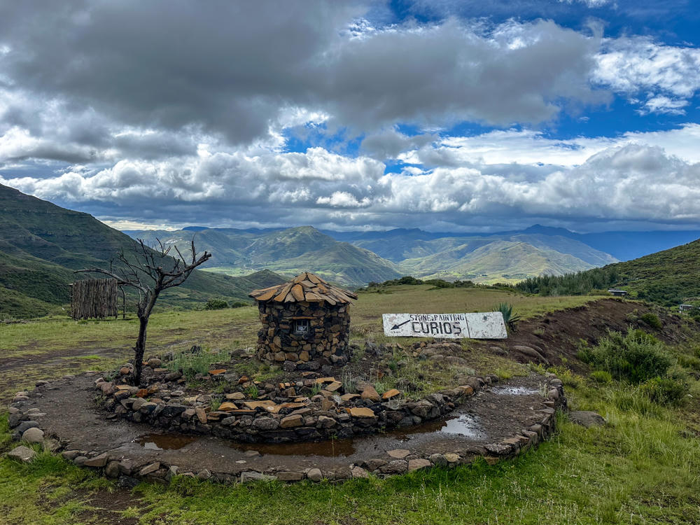
east of Matsaba, Lesotho · by Lisa Rozmyn

There were no curios to be found.

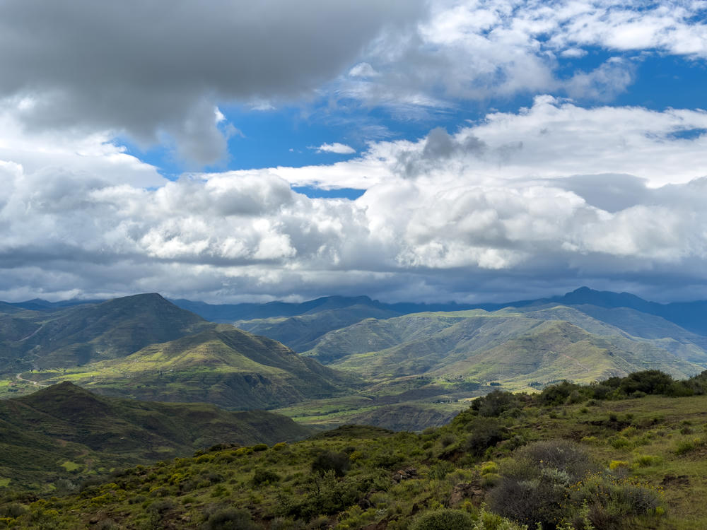
A green mountainous landscape east of Matsaba, Lesotho, with rolling ridges and valleys partly lit by sun breaking through a dramatic, heavily clouded sky. Shrubby vegetation covers the foreground hillside under banks of grey and white cumulus clouds.
east of Matsaba, Lesotho

If this next photo looks sort of familiar, it’s because it’s where we stopped yesterday, but yesterday it was during a heavy rainstorm.
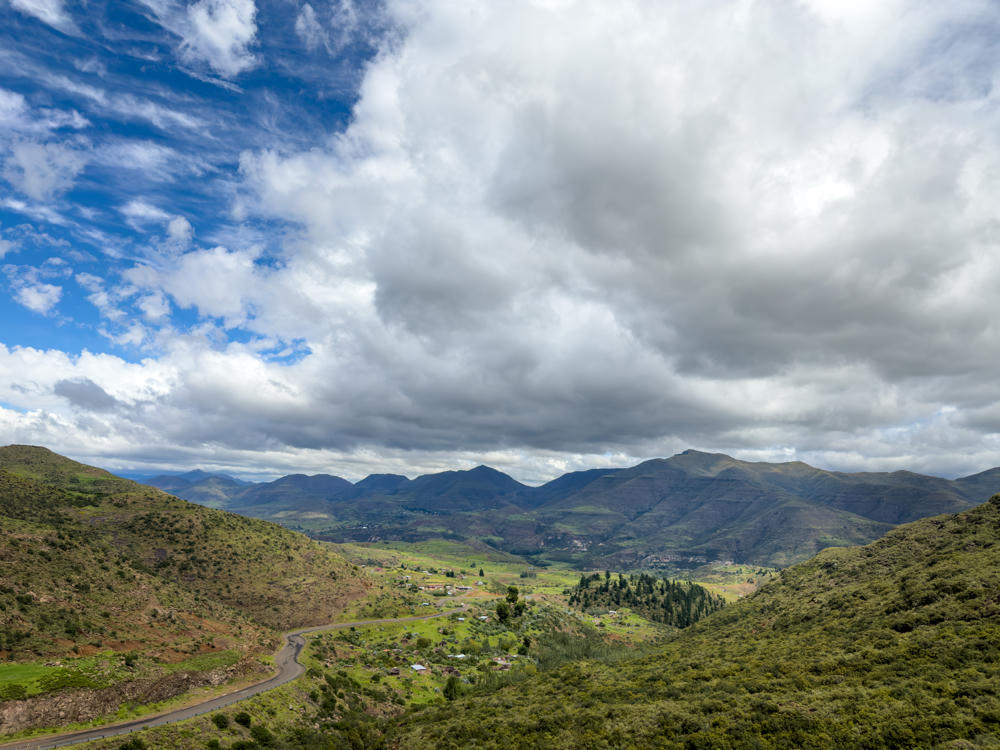
A sweeping mountain valley near Mantsa, Lesotho, with green hillsides framing a winding paved road that descends toward a scattered rural settlement of small houses. Distant ridges roll across the horizon under a dramatic sky filled with thick grey and white clouds breaking into patches of blue.
east of Mantsa, Lesotho
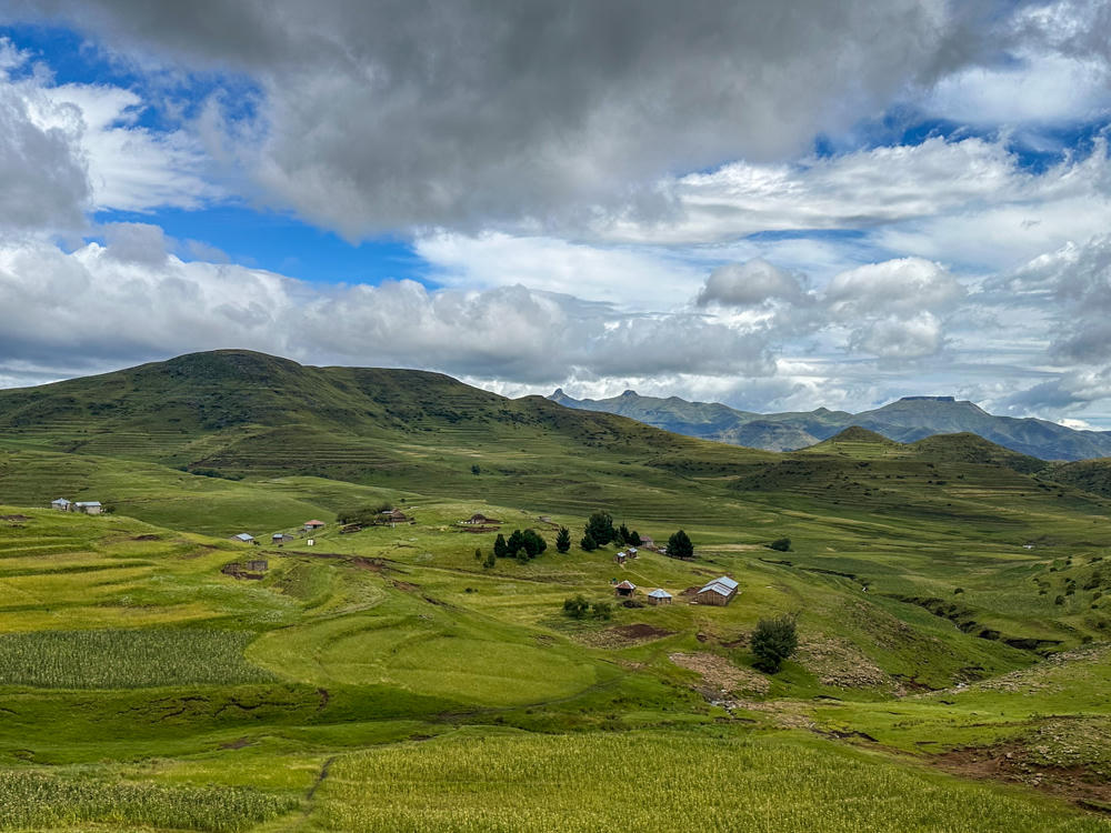
east of Mantsa, Lesotho · by Lisa Rozmyn
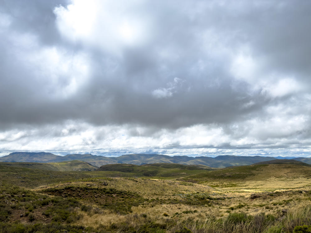
A wide highland landscape under a heavy, overcast grey sky, with rolling hills covered in dry golden grass and low scrub in the foreground and a range of green-brown mountains stretching across the horizon.
southeast of Theetsoa, Lesotho
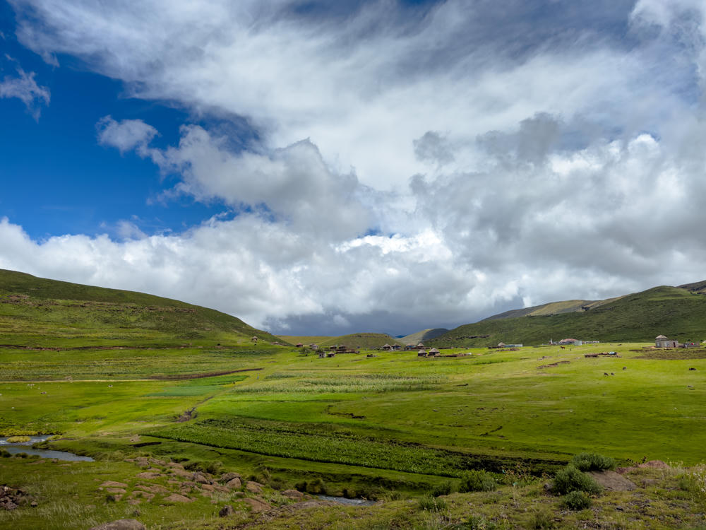
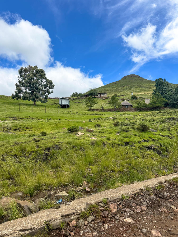
A green highland valley near Semonkong, Lesotho, with a small stream winding through the foreground and a cluster of round thatched huts scattered across the gently rolling hills. A dramatic mix of blue sky and large white and grey clouds fills the upper half of the frame.
north of Semonkong, Lesotho
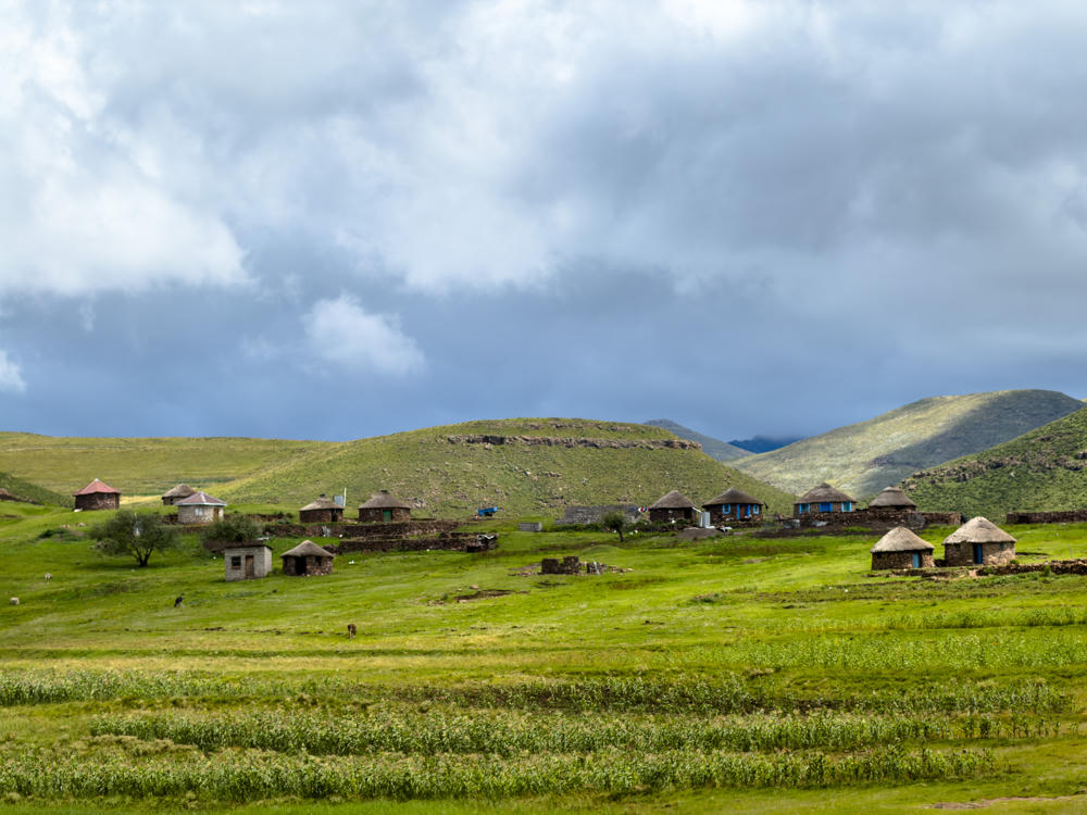
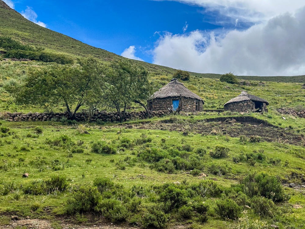
A scattered rural village of round stone huts with thatched and tin roofs spread across rolling green hills, set beneath dark, heavy storm clouds gathering over the highland landscape.
north of Semonkong, Lesotho

Here is the turnoff from the main (paved) road to the waterfalls. Notice how the sign says that “no cash payments” would be accepted.

Funny thing about that: Their card reader wasn’t working, so it turned out that only cash payments were accepted. (It’s good to be prepared for whatever around here …)
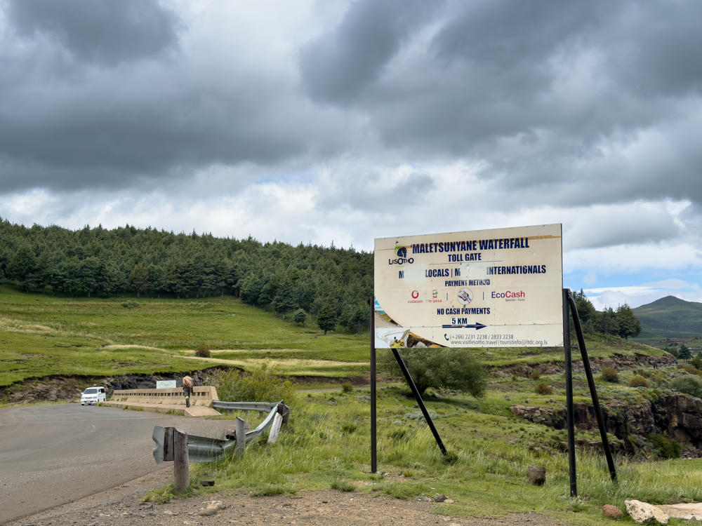
north of Semonkong, Lesotho

After a long and very bumpy gravel road (reminiscent of some we found in Puerto Rico many years ago), we did make it to the waterfalls. It’s hard to convey how large the falls are.
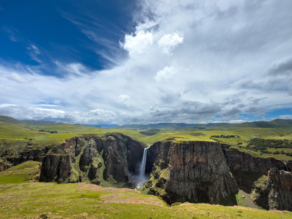
A tall waterfall plunges off the edge of a dark basalt cliff into a deep gorge, surrounded by rolling green highland plateaus under a dramatic sky of blue with sweeping white clouds. Reddish, grassy terrain lines the rocky escarpment in the foreground.
Maletsunyane Falls, south of Semonkong, Lesotho

In this photo, if there had been people here, you’d barely be able to see them.
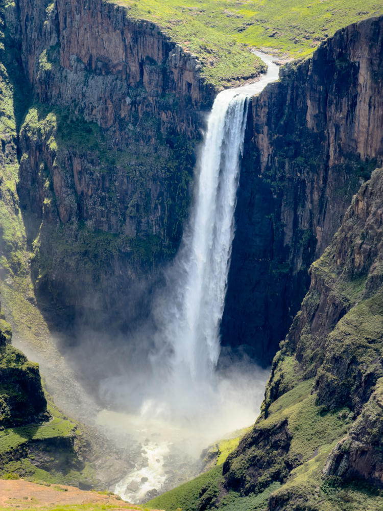
A tall single-drop waterfall plunges down a dark basalt cliff into a deep gorge, sending up clouds of mist at the base. The surrounding cliffs and slopes are covered in patches of green grass under bright midday light.
Maletsunyane Falls, south of Semonkong, Lesotho
west of Semonkong, Lesotho · by Lisa Rozmyn

On our way out from the waterfalls, we happened upon this community gathering. No idea what it was about.
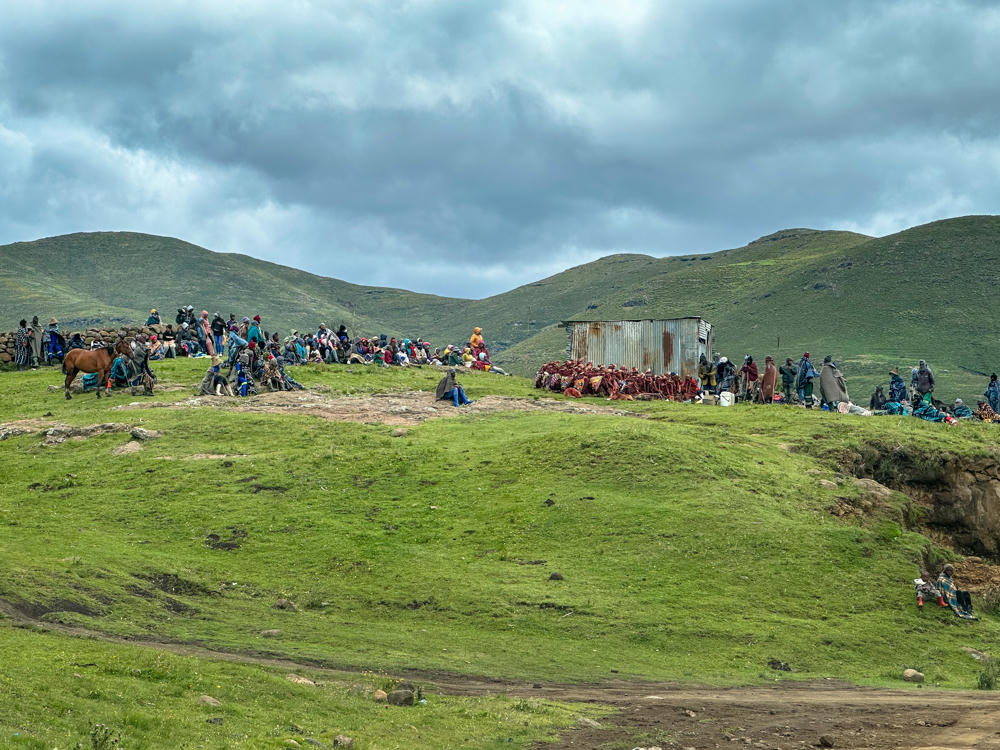
west of Semonkong, Lesotho · by Lisa Rozmyn

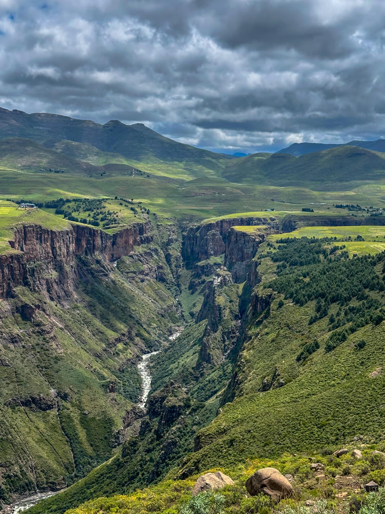
We drove through the nearby town of Semonkong. On the south side was another view of the same canyon where the waterfall was.
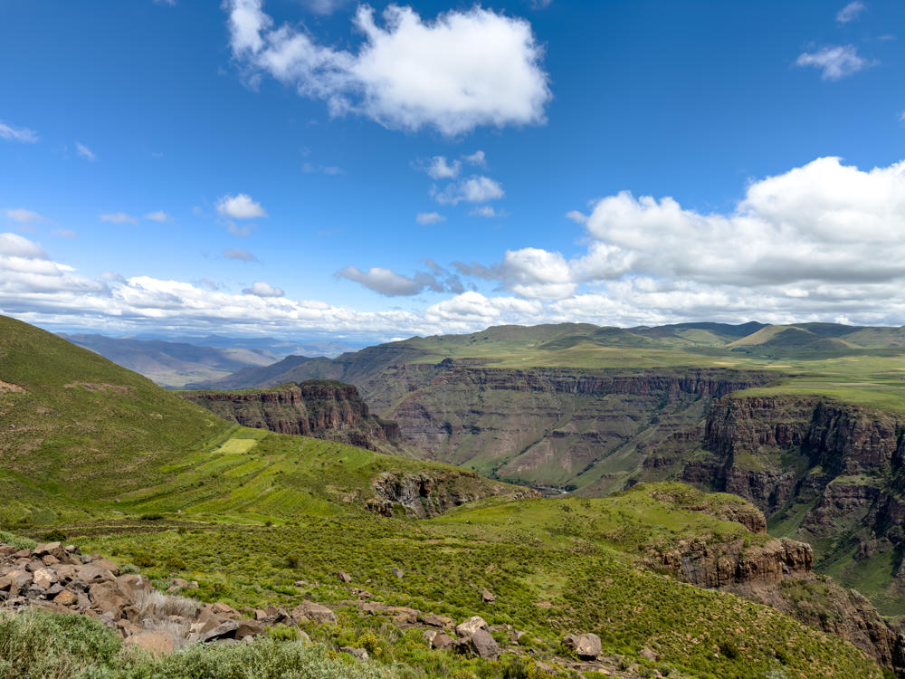
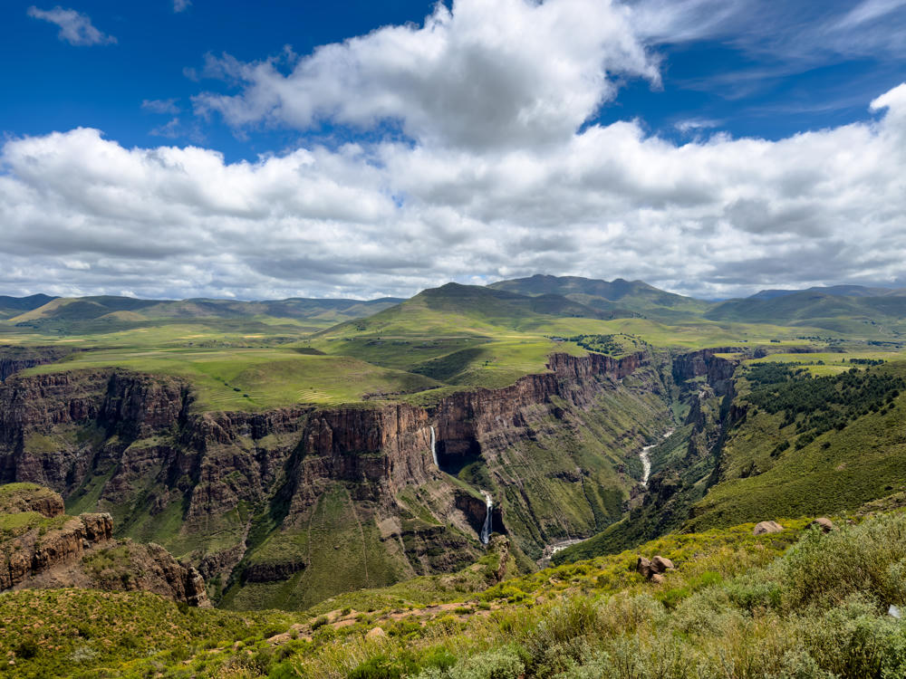
A sweeping highland landscape of green grassy hills and a deep eroded canyon with reddish rock cliffs, viewed from a rocky vantage point with scattered boulders and shrubs in the foreground. A bright blue sky filled with scattered white clouds stretches over rolling mountains in the distance.
south of Semonkong, Lesotho
A waterfall plunges from a green-rimmed cliff into a deep rocky gorge in the highlands south of Semonkong, Lesotho, with grassy plateaus and distant rolling mountains under a bright sky filled with white clouds.
south of Semonkong, Lesotho
south of Semonkong, Lesotho · by Lisa Rozmyn
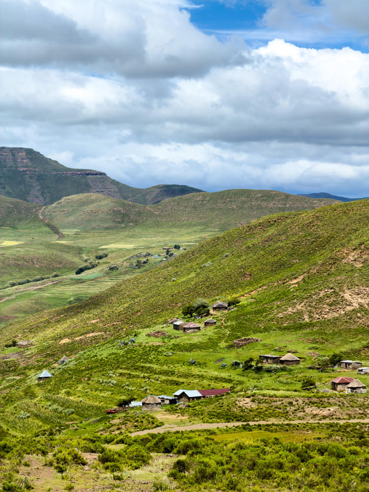
A scattered mountain village of round thatched-roof rondavels and stone-and-tin houses on a steep green hillside, with a broad valley of terraced fields, rolling hills, and a flat-topped escarpment under a cloudy blue sky.
south of Semonkong, Lesotho
east of Mantsa, Lesotho · by Lisa Rozmyn

We returned back to Casa Tumi in mid-afternoon. A couple hours later we were preparing for dinner. There was a thunderstorm and some rain, nothing too unusual. And then, very suddenly, the wind kicked up. If I were to guess, I’d say something like 100 km/h / 60 mph. The door blew in, things went flying everywhere, and then as suddenly as it started, it ended maybe a minute or two later.

Remember the lawn chairs in front of our house from yesterday? Blown away. We never found them.

Maybe it was a tornado? Maybe it was a sudden wind squall? We’ll probably never know. The important thing is we’re all OK – and our host Mary’s friends in the community were all OK.

Once the winds subsided, I stepped outside to see how things were. Wet and colorful is the answer:
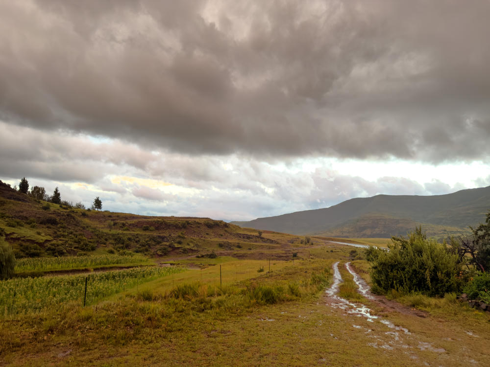
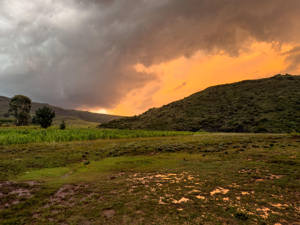
Casa Tumi, north of Makhalaneng, Lesotho
Makhalaneng to Semonkong, Lesotho, and back · 139 km / 86 mi
(Mouse over or tap on the markers to see the photos there. Use the button to adjust the map’s position and zoom.)

If you’ve enjoyed this …

Subscribe to my free and occasional (never more than weekly) e-mail newsletter with my latest travel and other stories:

Or follow me on one or more of the socials: