Hi, I'm Eric.

I’m an avid world traveler, photographer, software developer, and digital storyteller.

I help implement the Content Authenticity Initiative at Adobe.

Search Results

Vancouver Island Day 1: Coho Ferry Crossing

27 December 2023 249 km / 155 mi (map)

I’ve been to Victoria, British Columbia, many times, but I haven’t seen much of Vancouver Island beyond the capitol city. Over the next several days, I’ll be “fixing” that – by exploring the rest of the island.

This afternoon, I took the Coho Ferry from Port Angeles to Victoria.
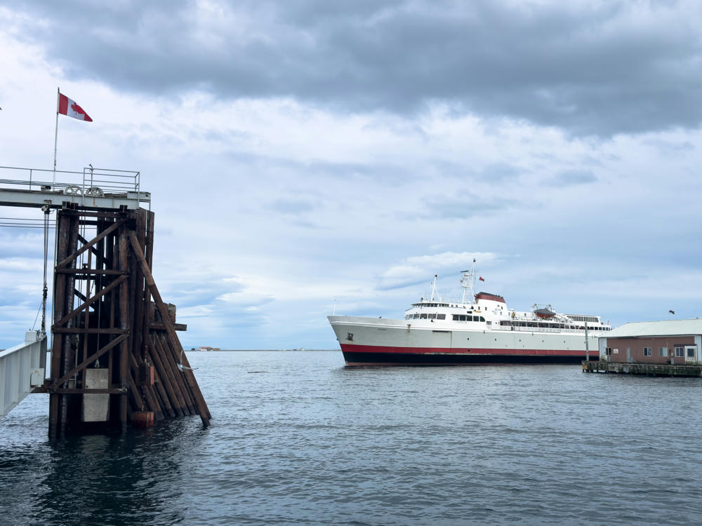
Black Ball Ferry Line, Port Angeles, Washington

The sun made a rare winter appearance and gave us some nice scenery to contemplate during the 90-minute crossing.
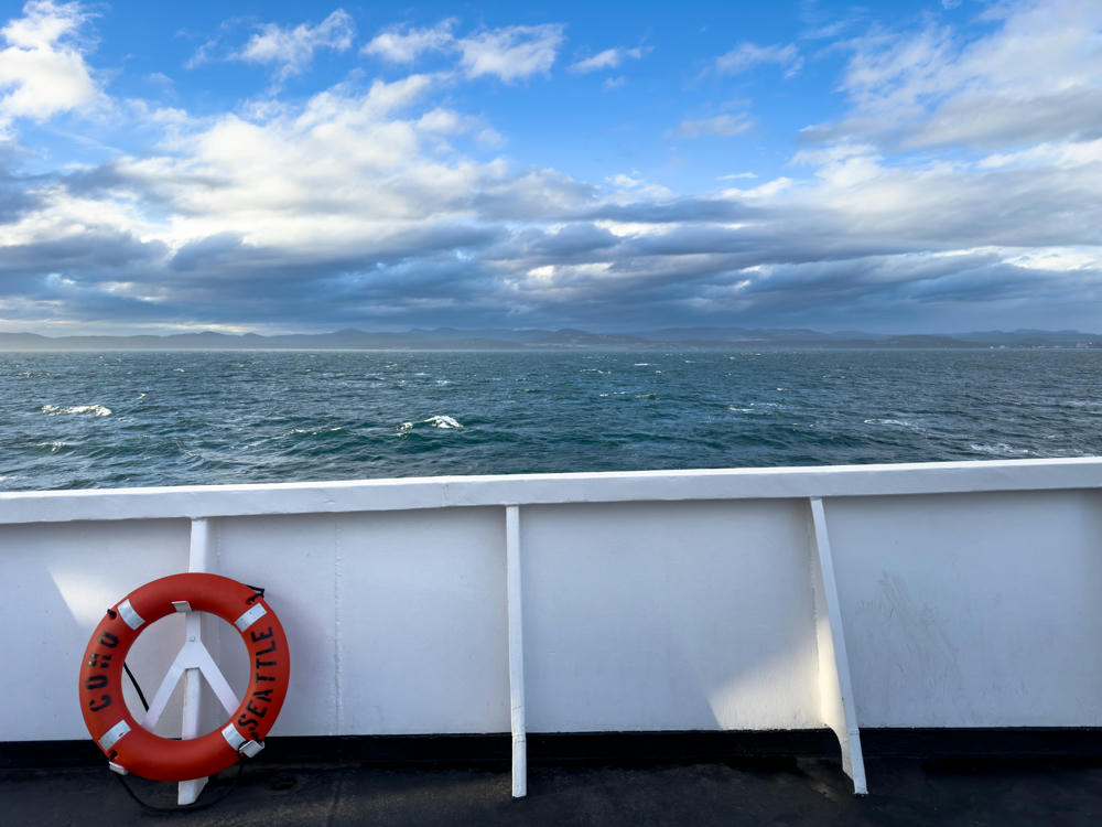
A view from the deck of the Coho ferry across choppy dark blue water toward distant hazy mountains under a partly cloudy sky. In the lower left, an orange life ring labeled “COHO SEATTLE” leans against the ship’s white railing.
Ferry from Port Angeles, Washington, to Victoria, British Columbia, Canada
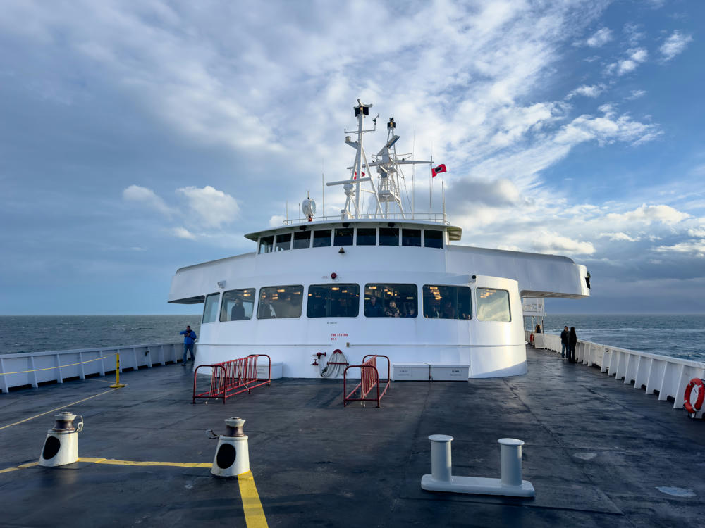
The open forward deck of a ferry looking toward its white superstructure and bridge, with mooring bollards, red safety railings, and passengers standing on deck under a partly cloudy blue sky over calm ocean water.
Ferry from Port Angeles, Washington, to Victoria, British Columbia, Canada
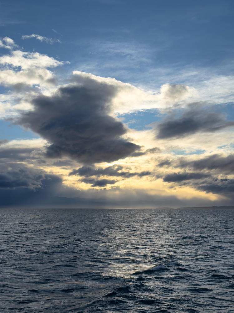
A wide expanse of choppy dark blue-gray ocean under a dramatic sky, with heavy dark clouds parting to let shafts of golden afternoon light break through over a low, distant coastline on the horizon.
Ferry from Port Angeles, Washington, to Victoria, British Columbia, Canada
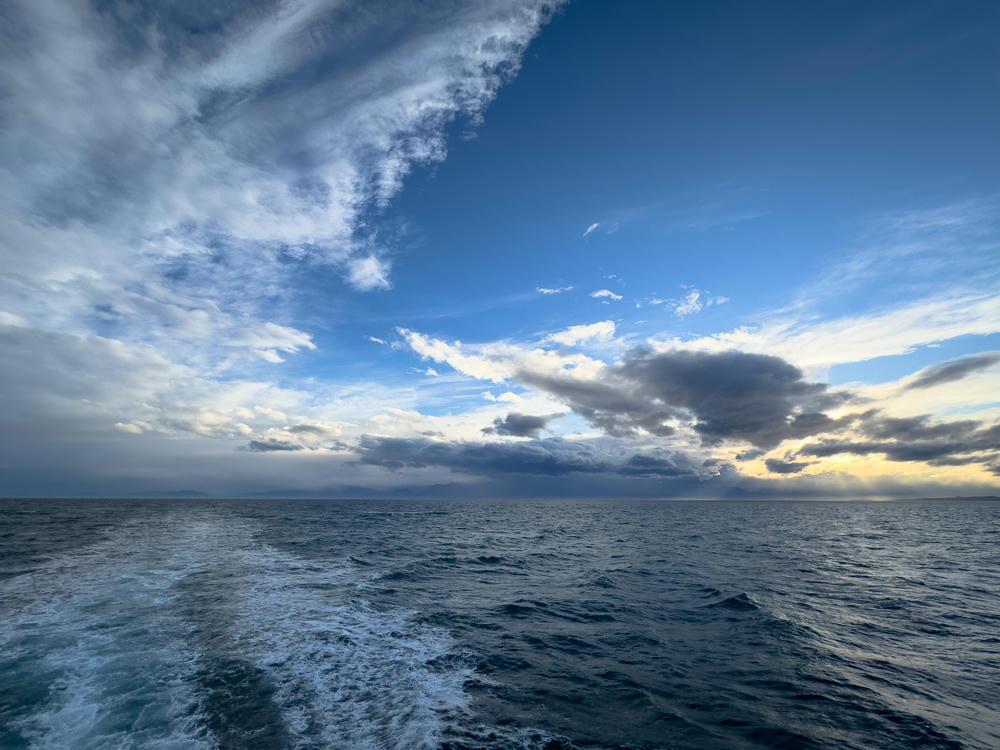
A frothy white wake trails across choppy dark blue water behind a ferry, leading toward a distant low shoreline on the horizon under a dramatic sky of scattered clouds, with warm afternoon light breaking through gaps near the horizon.
Ferry from Port Angeles, Washington, to Victoria, British Columbia, Canada

There was some rolling and churning along the way. (That said, I’ve seen much worse on this route before.)
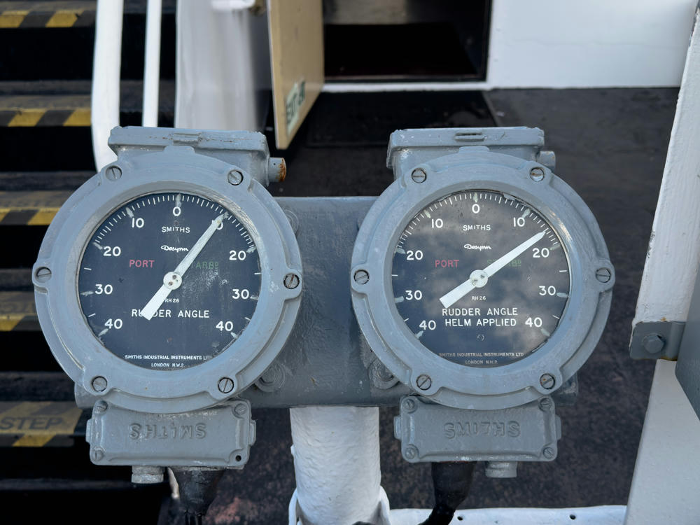
Two grey Smiths Desynn rudder angle indicator gauges mounted side by side on a ship, each with dark dials reading Port and Starboard from 0 to 40 degrees, labeled “Rudder Angle” and “Rudder Angle Helm Applied”, with a black metal staircase with yellow safety striping in the background.
Ferry from Port Angeles, Washington, to Victoria, British Columbia, Canada

By the time I cleared Canadian Customs and Victoria’s rush hour, there wasn’t a lot of daylight left, but I did get a quick shot from a viewpoint along the Malahat Parkway, a bit north of Victoria.
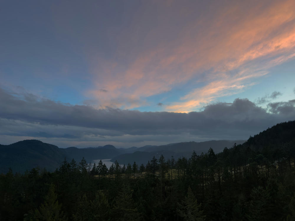
A hazy overlook from the Malahat Summit, with forested ridges of evergreen conifers descending toward a narrow arm of water in the valley below. Layered blue mountains stretch to the horizon under a soft late-afternoon sky streaked with pale gold and gray clouds.
Malahat Summit Viewpoint, north of Malahat, British Columbia, Canada

Check back soon. I’m eager to share more of the island with you all over the next few days!

Poulsbo, Washington, to Nanaimo, British Columbia, Canada · 249 km / 155 mi
(Mouse over or tap on the markers to see the photos there. Use the button to adjust the map’s position and zoom.)

If you’ve enjoyed this …

Subscribe to my free and occasional (never more than weekly) e-mail newsletter with my latest travel and other stories:

Or follow me on one or more of the socials: