Hi, I'm Eric.

I’m an avid world traveler, photographer, software developer, and digital storyteller.

I help implement the Content Authenticity Initiative at Adobe.

Search Results

Vancouver Island Day 2: Pacific Marine Circle Route

28 December 2023 407 km / 253 mi (map)

Today I did a variation on the Pacific Marine Circle Route, which is to say that I explored the part of Vancouver Island that is mostly west of Victoria and Nanaimo.

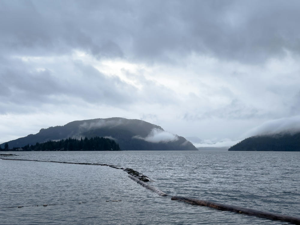
I backtracked a bit from Nanaimo so that I could pick up the highway toward the coast from near Duncan. This led me to the east shore of Cowichan Lake, which – like so much of the Pacific Northwest – was wrapped in moody fog and low clouds. I got a clear shot of the lake from the town of Youbou.
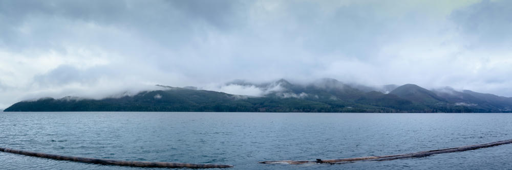
A wide panoramic view across the calm, grey waters of Cowichan Lake, with forested hills on the far shore partly hidden by low fog and heavy overcast cloud, and two long floating logs in the foreground water.
Youbou, British Columbia, Canada
A calm, grey lake beneath a heavy overcast sky, with forested hills wrapped in low-lying fog and clouds along the far shore. Floating logs and a log boom stretch across the water in the foreground.
Youbou, British Columbia, Canada

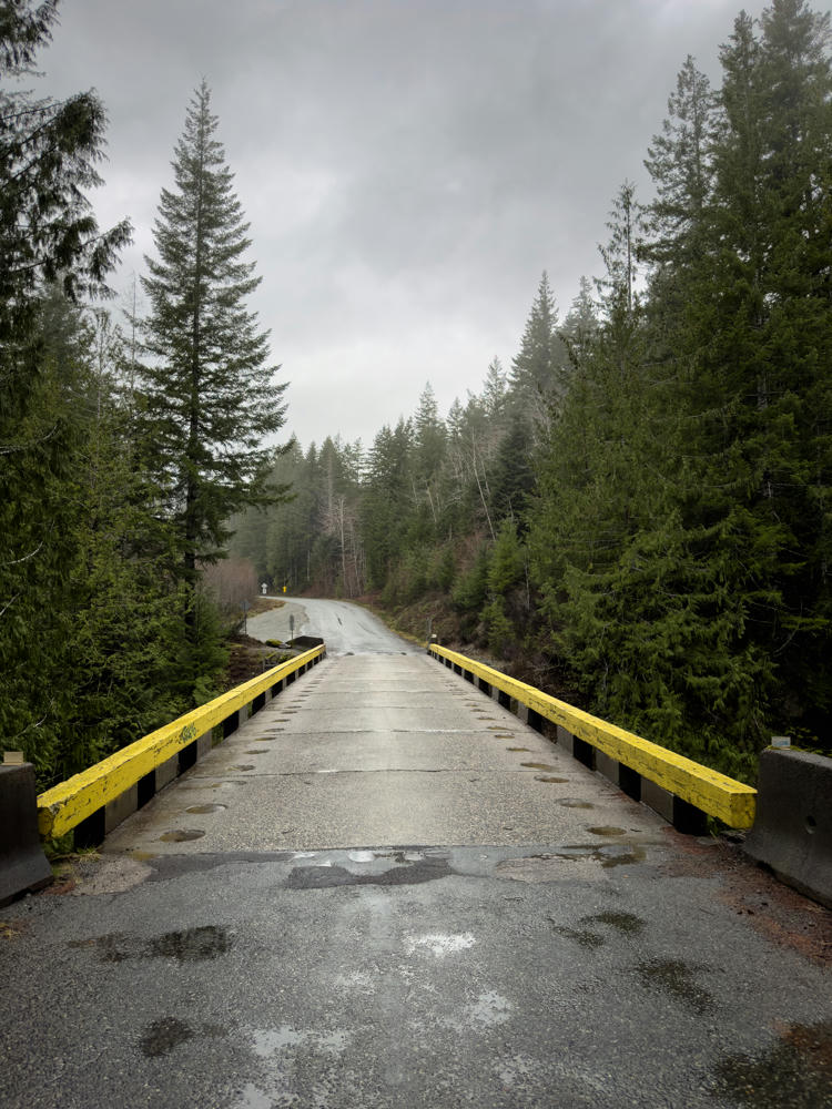
From there, I took a back road to the coastal town of Port Renfrew. This road is mostly used by logging crews and the very occasional tourist. So occasional that the mobile phone providers don’t see fit to provide service here:
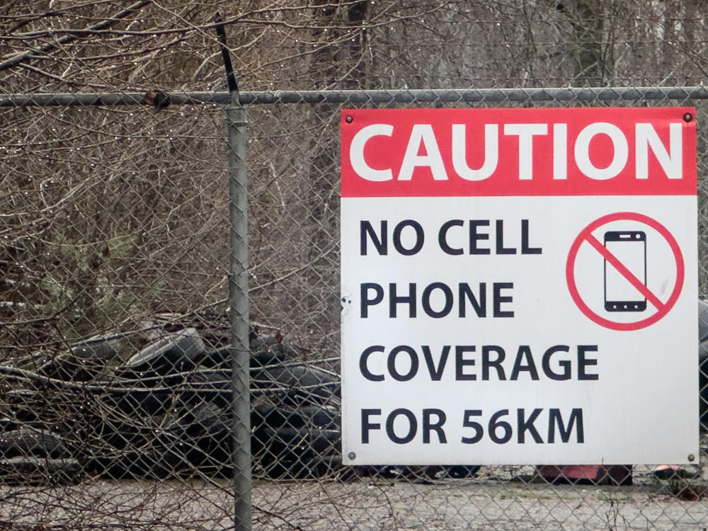
Mesachie Lake, British Columbia, Canada

(That’s 35 miles for my friends back home …)
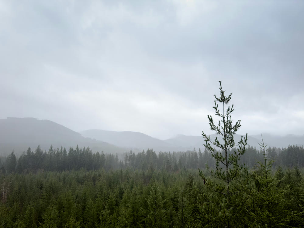
A misty, overcast view over rolling evergreen forest with layered mountain ridges fading into gray fog on the horizon, and a young conifer sapling standing prominently in the foreground on the right.
south of Mesachie Lake, British Columbia, Canada
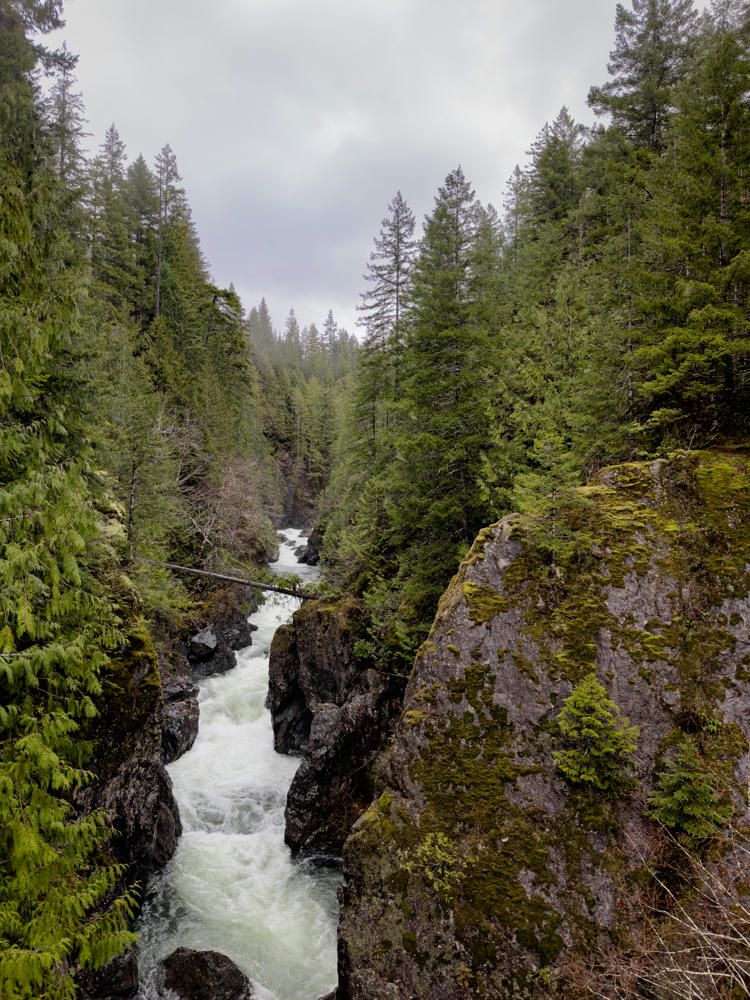
east of Port Renfrew, British Columbia, Canada
A whitewater river rushes through a narrow rocky gorge lined with moss-covered boulders and dense evergreen forest, under an overcast grey sky near Port Renfrew, British Columbia.
east of Port Renfrew, British Columbia, Canada
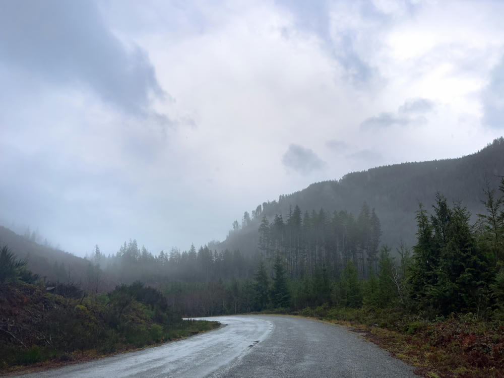
A wet, curving paved road winds through a misty forested valley near Port Renfrew, British Columbia, with fog clinging to evergreen-covered hillsides under a heavy grey overcast sky.
east of Port Renfrew, British Columbia, Canada
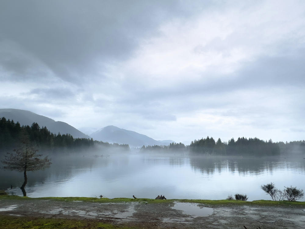
A calm, misty lake under a heavy overcast sky near Port Renfrew, British Columbia, with fog drifting over dark evergreen-forested shorelines and layered mountains fading into the haze. In the foreground a wet, muddy bank with patches of green moss and a small bare tree overlooks the still gray water.
Port Renfrew, British Columbia, Canada

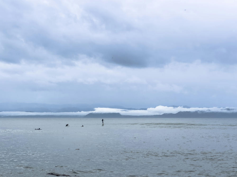
Farther along the route, I happened upon Jordan River, where some intrepid surfers were enjoying the waves:
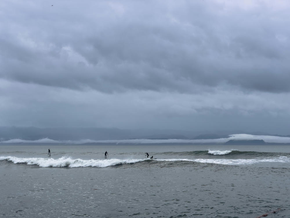
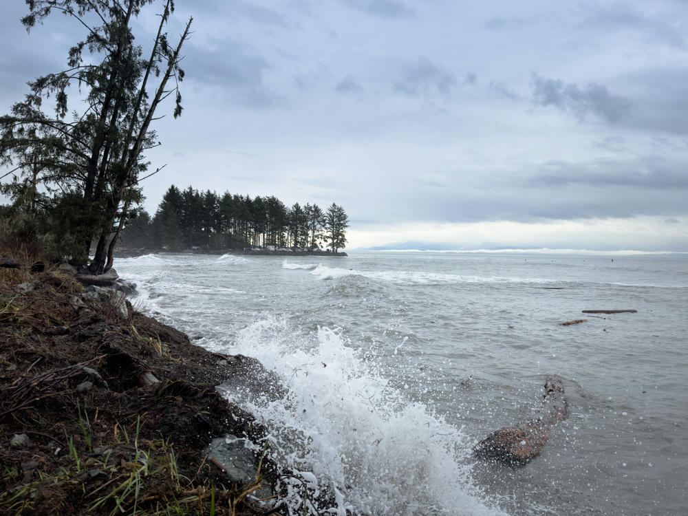
Jordan River, British Columbia, Canada
Three stand-up paddleboarders in wetsuits ride a breaking wave on a gray, choppy ocean under a heavy overcast sky, with fog-shrouded mountains on the distant horizon and a bird flying low over the water.
Jordan River, British Columbia, Canada
Surfers in the water off Jordan River, British Columbia, on a grey overcast morning, with one person standing on a board and others paddling, beneath a heavy cloud layer and mist-shrouded coastal hills across the strait.
Jordan River, British Columbia, Canada

Tomorrow I head much farther north along the island.

Nanaimo to Port Renfrew to Parkville, British Columbia, Canada · 407 km / 253 mi
(Mouse over or tap on the markers to see the photos there. Use the button to adjust the map’s position and zoom.)

If you’ve enjoyed this …

Subscribe to my free and occasional (never more than weekly) e-mail newsletter with my latest travel and other stories:

Or follow me on one or more of the socials: