Hi, I'm Eric.

I’m an avid world traveler, photographer, software developer, and digital storyteller.

I help implement the Content Authenticity Initiative at Adobe.

Search Results

Europe Part 2: Slovak and Czech Countryside

2 June 2024 685 km / 426 mi (map)

Today I drove from Bratislava to Warsaw. I took a detour through some of the mountainous regions on the Slovak/Czech border and was rewarded with some excellent scenery. To wit:

But first … the hotel where I was staying in Bratislava:
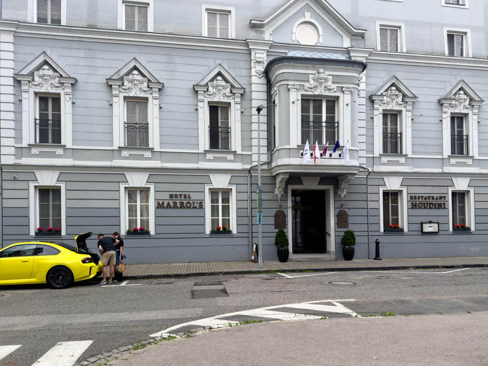
Hotel Marrol’s, Bratislava, Slovakia

And a couple of food-related posts. This sign reads a bit badly in English, but I’m told that in Slovak it means “constant menu.”
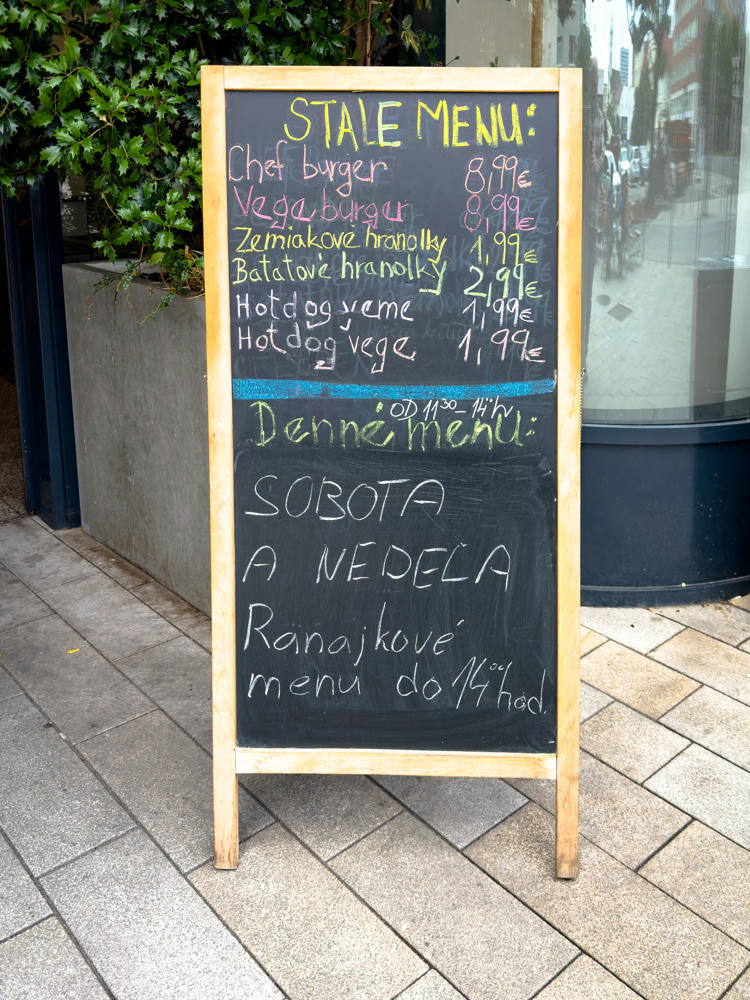
Stale Menu · Bratislava, Slovakia

And this … reminds me of some place I’ve heard of before. I just can’t think of what!
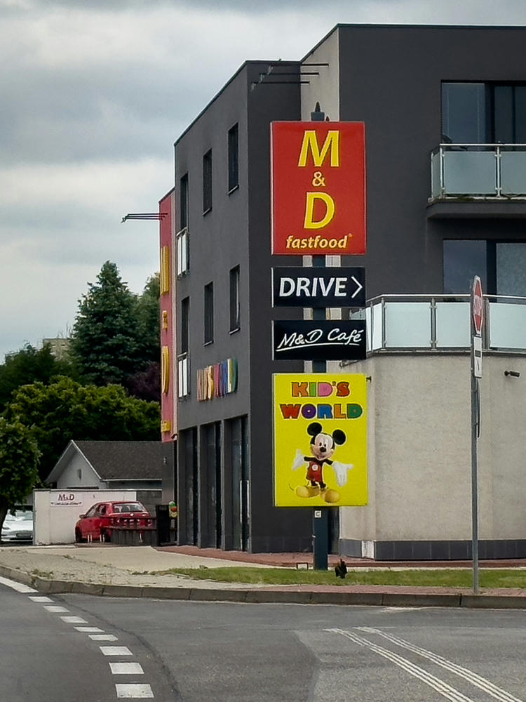
M & D Fastfood · Senec, Slovakia

A bit of road-sign humor. In the European road signage system, a red circle with a number in it indicates either a speed limit or (if placed on a vehicle) the maximum speed that that vehicle can attain. Somebody here is very optimistic about their bicycle, saying that it can attain 80 km/h / 50 mph.
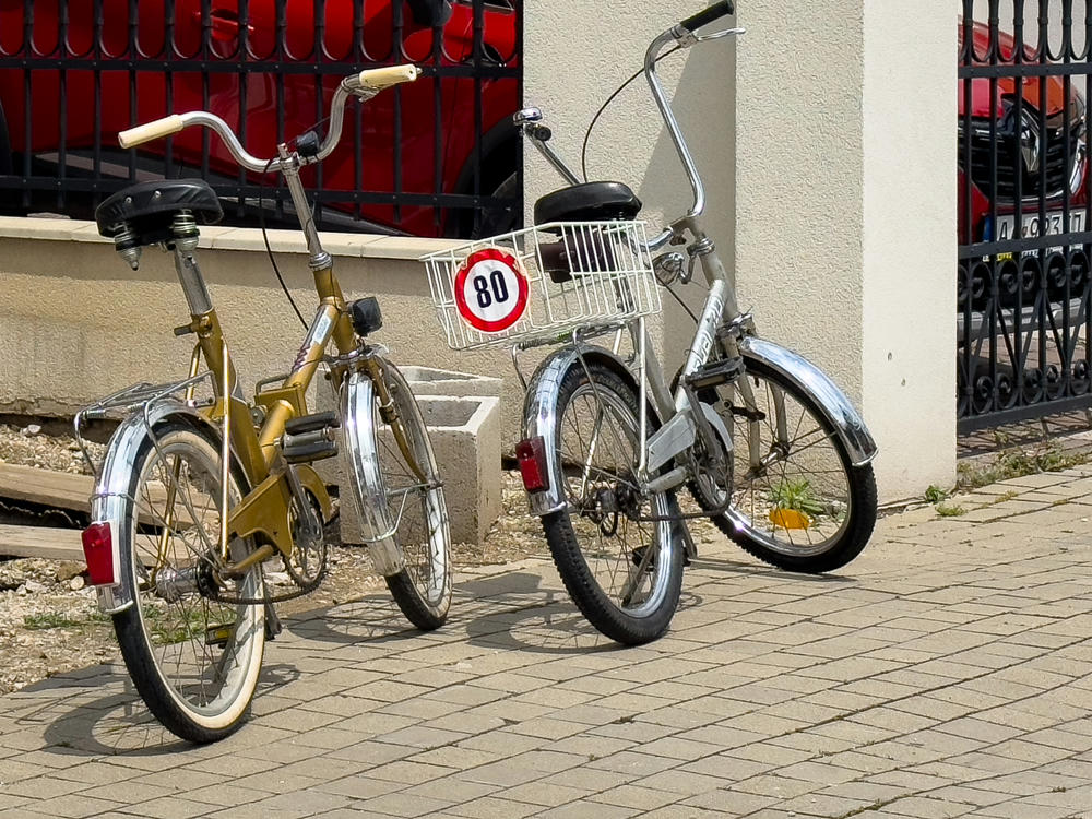
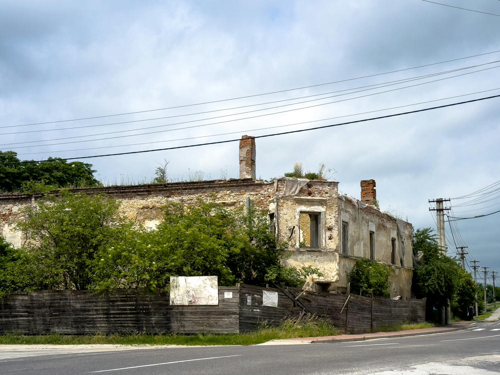
Fast Bike · Trnava, Slovakia
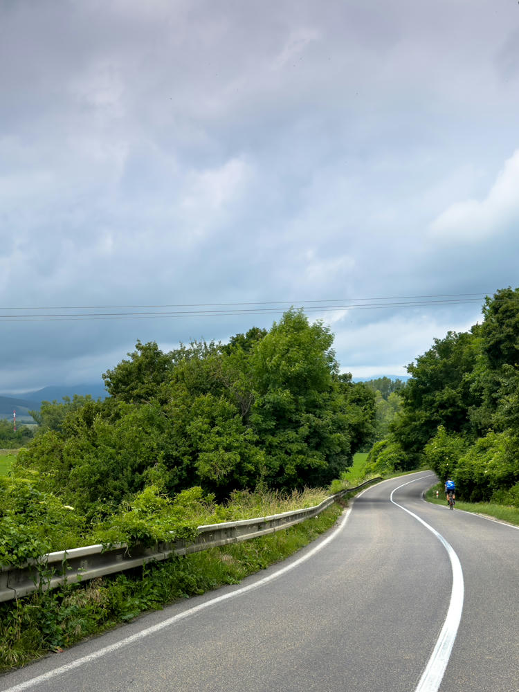
Kočovce, Slovakia
A view from a vehicle along a curving rural road lined with lush green trees and a metal guardrail, with a lone cyclist in blue riding ahead in the distance. Beyond the fields to the left, hazy mountains rise under a heavily overcast gray sky.
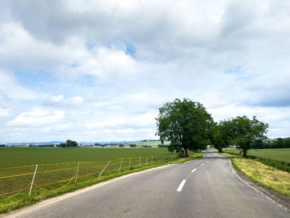
Beckov, Slovakia
A two-lane country road curves through flat green farmland under a cloudy sky, with large leafy trees lining the right side and a yellow electric fence bordering a field on the left.
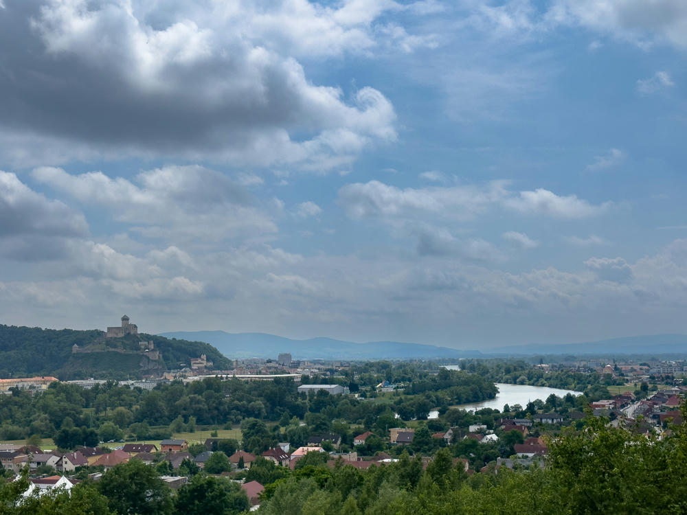
Trenčianske Stankovce, Slovakia
north of Trenčín, Slovakia

As I got farther north in Slovakia, things started to get more interesting. Here is a small village where I left the main road for a few minutes …
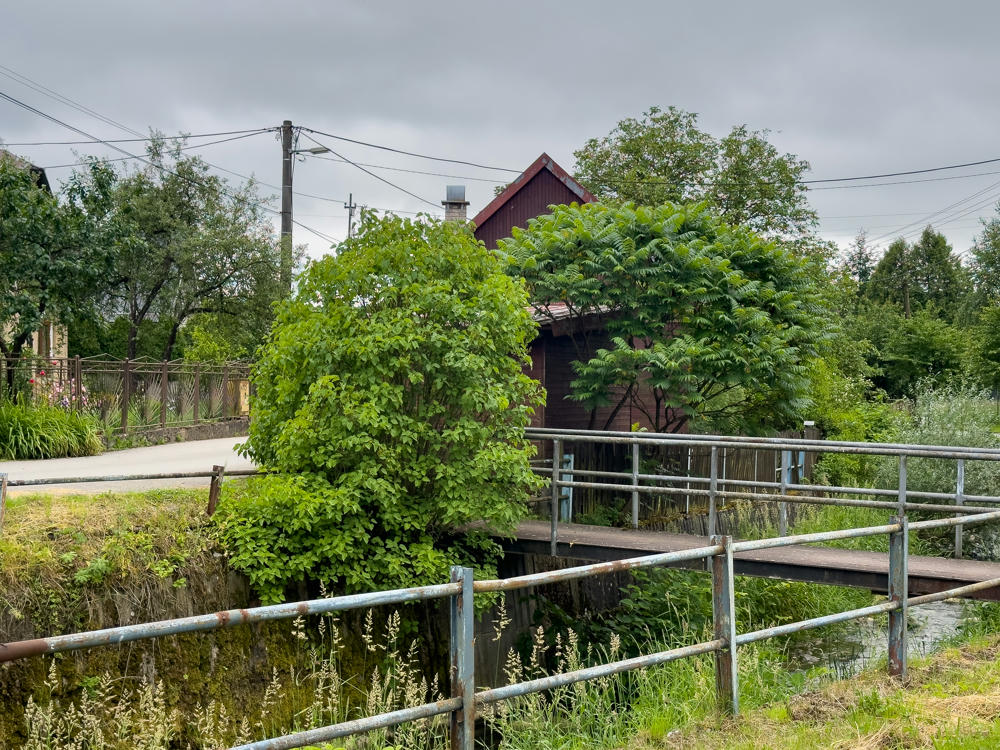
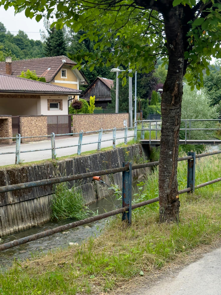
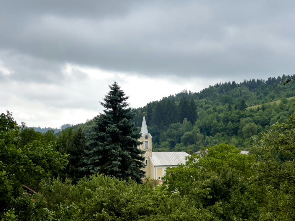
Kolárovice, Slovakia
A pale yellow church with a white steeple and clock face nestled among dense green trees in a valley, with a forested hillside rising behind it under a heavy overcast grey sky.
Kolárovice, Slovakia
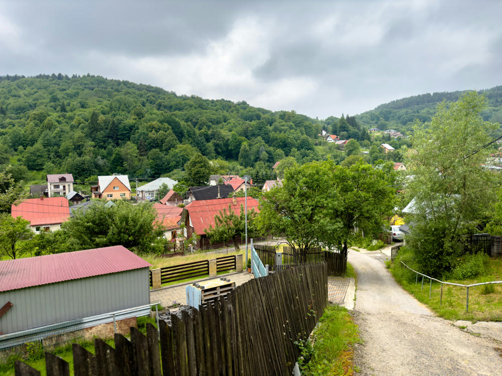
A view over the village of Kolárovice, Slovakia, showing houses with red and grey rooftops clustered in a valley surrounded by densely forested green hills under an overcast grey sky. In the foreground a narrow paved lane runs alongside wooden fences and a shed with a red roof.
Kolárovice, Slovakia
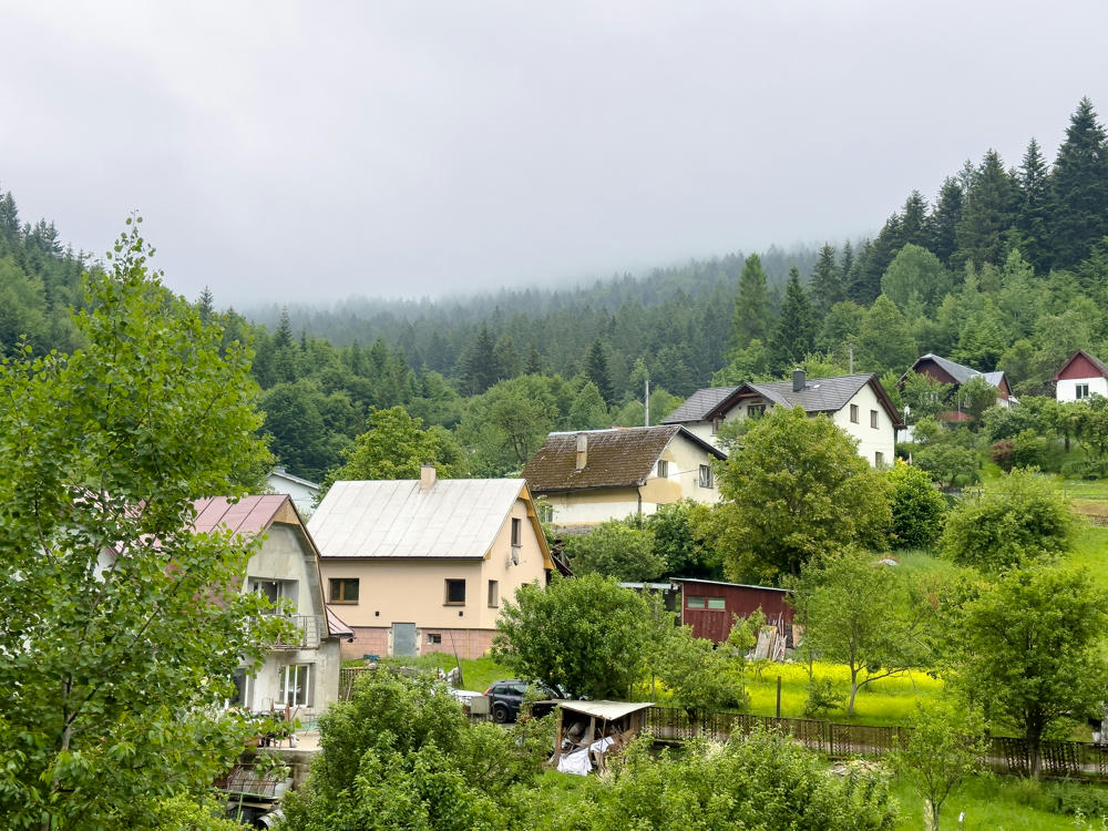
A small mountain village with several houses spread across green hillsides, surrounded by lush trees, gardens, and a yellow-flowering meadow. Behind the settlement, dense pine forest covers the slopes, partly veiled by low mist under an overcast sky.
Kolárovice-Čiakov, Slovakia
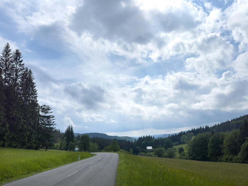
A quiet asphalt road curves through a green valley flanked by grassy meadows, with tall spruce trees on the left and forested hills rolling into the distance under a dramatic sky of heavy white and grey clouds. A small white-roofed building sits among the trees on the far hillside.
east of Velké Karlovice, Czechia
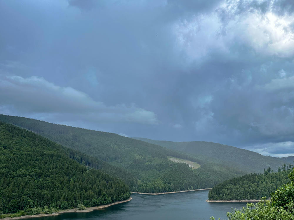
A dark, dramatic overcast sky looms over forested hills that slope down to the winding blue water of Šance Reservoir, with dense evergreen woods lining the shores under stormy grey clouds.
Šance Reservoir, south of Ostravice, Czechia

Once I arrived in Warsaw, the hotel offered a “palace view.” Just a little “palace:”
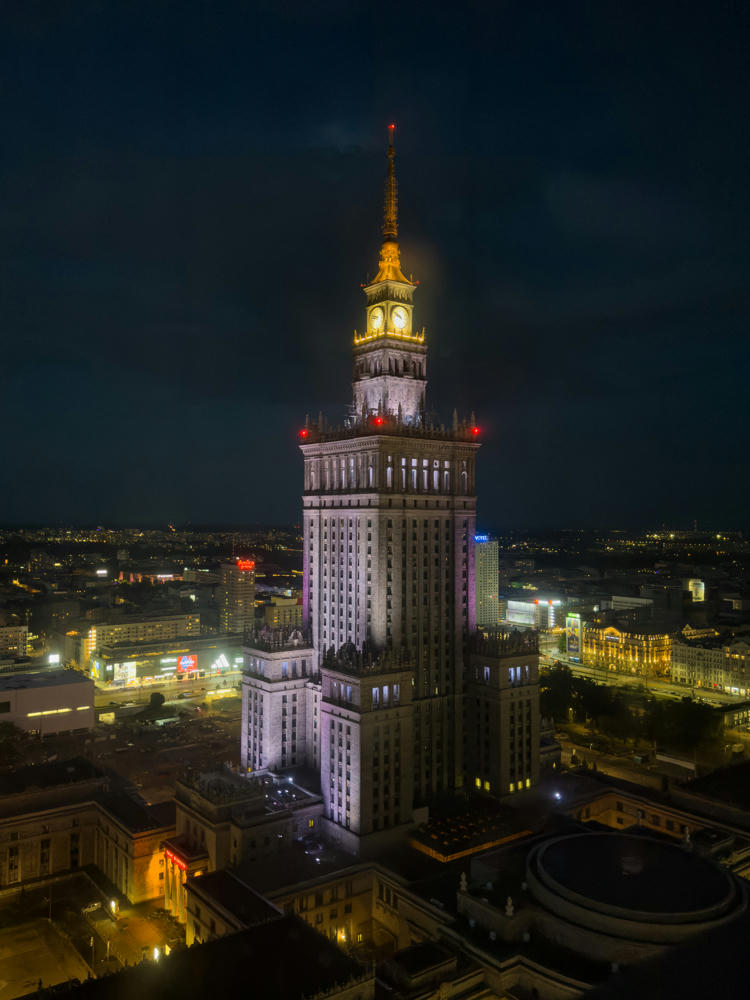
The illuminated Palace of Culture and Science towers over a darkened Warsaw skyline at night, its lit clock face and golden spire glowing against a dark sky, with surrounding city buildings and streetlights spread out below.
Warsaw, Poland
Bratislava, Slovakia, to Warsaw, Poland · 685 km / 426 mi
(Mouse over or tap on the markers to see the photos there. Use the button to adjust the map’s position and zoom.)

If you’ve enjoyed this …

Subscribe to my free and occasional (never more than weekly) e-mail newsletter with my latest travel and other stories:

Or follow me on one or more of the socials: