Hi, I'm Eric.

I’m an avid world traveler, photographer, software developer, and digital storyteller.

I help implement the Content Authenticity Initiative at Adobe.

Search Results

California Day 1: Window Seat

20 December 2024 1911 km / 1188 mi (map)

With most of my immediate family out of town on various travels of their own, I decided to treat myself to a few days in the desert of Southern California. I’m excited to check out Joshua Tree National Park this weekend. Stay tuned!

Today was all about the logistics of travel, but I did get a few photos from my east-facing window seat on the way down.

I think my favorite is this sneak peak at Mount Rainier as we came though the top part of the cloud layer.
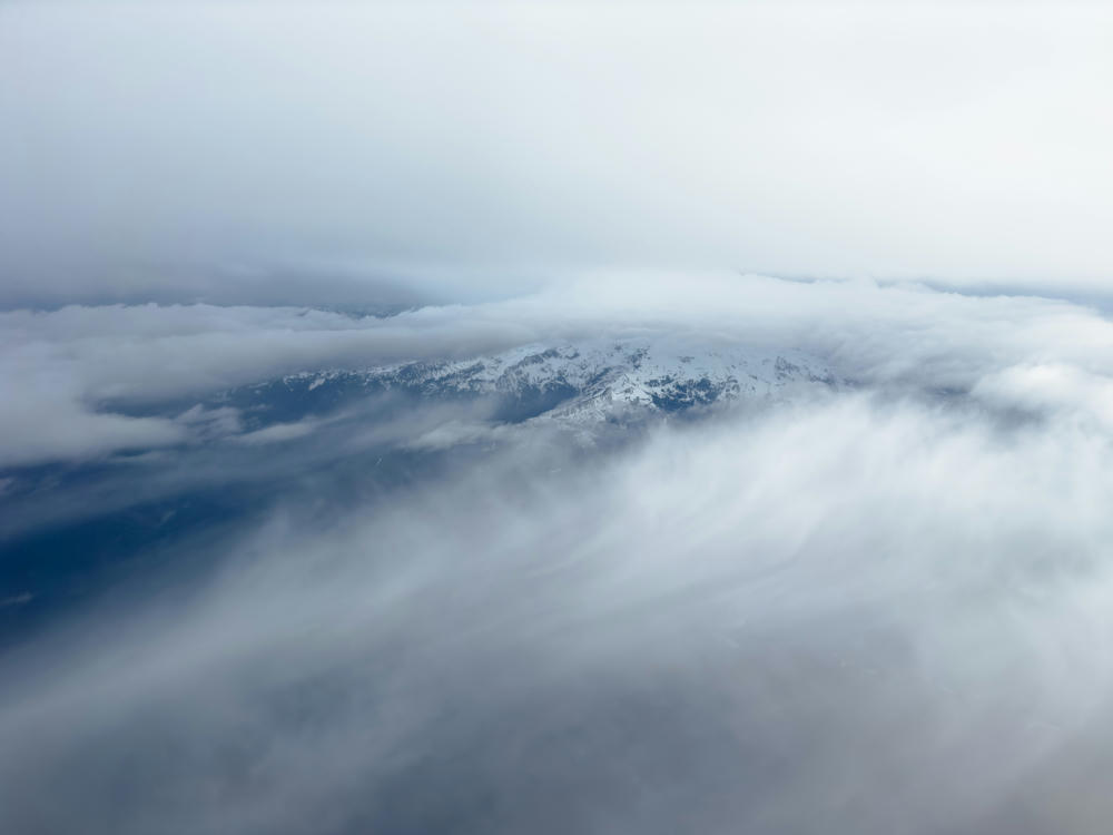
An aerial view of snow-capped mountain ridges partly shrouded by thick clouds and low-lying mist, with hazy gray skies above and wisps of cloud sweeping across the dark valley below.
west of Mount Rainier, Washington

On our way down, I captured a few views of the desert scenery that I expect to explore over the weekend:
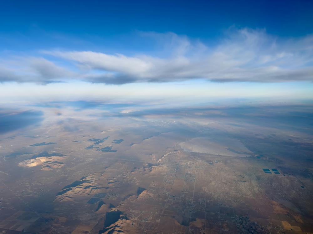
A high-altitude aerial view from an airplane looking down on the arid desert landscape near Rosamond, California, showing a grid of farmland, roads, low mountain ridges, and solar panel arrays, with a dry lakebed in the distance. A thick band of grey clouds stretches across the upper half of the frame beneath a deep blue sky.
above Rosamond, California
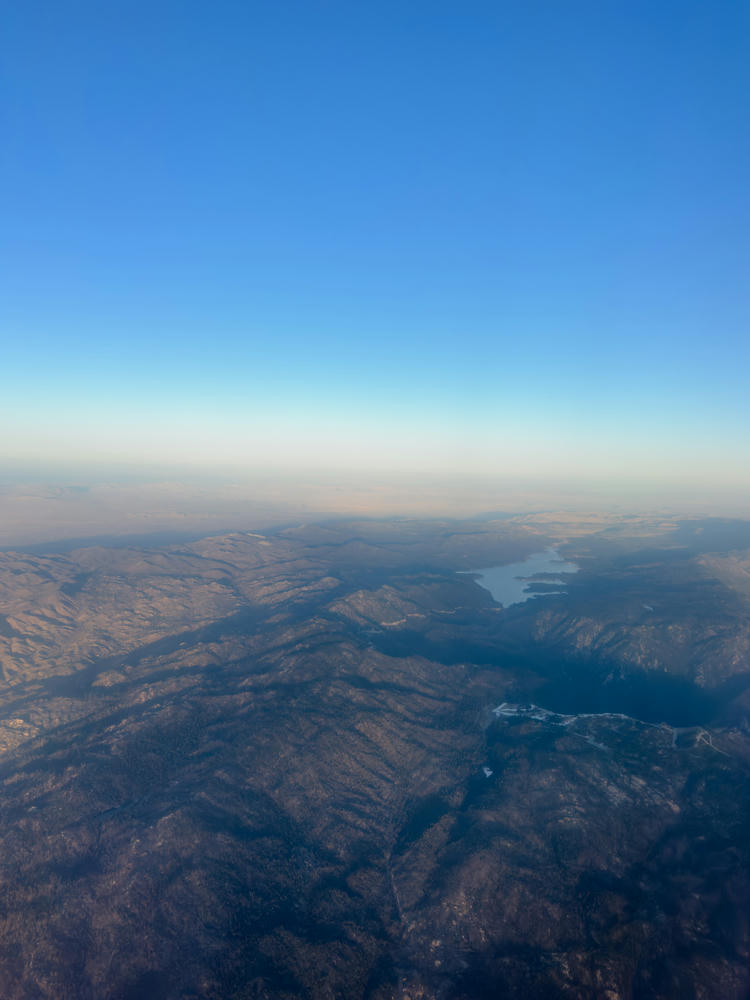
An aerial view from high altitude looking down over forested mountain ridges with a winding reservoir nestled among the hills near Running Springs, California. The lower terrain lies in shadow while a hazy plain stretches toward the horizon under a clear, deep blue sky.
above Running Springs, California
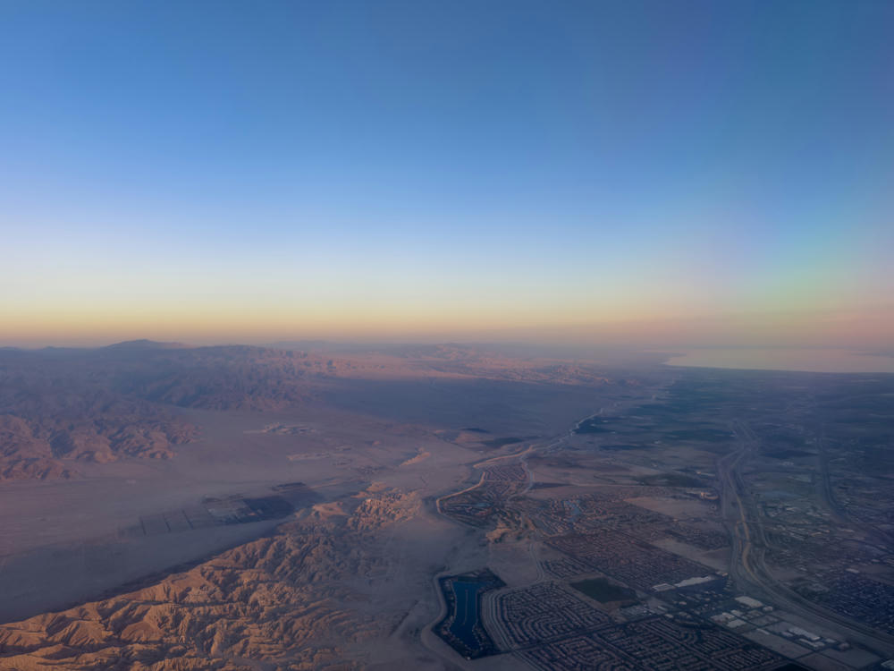
An aerial view from an airplane window over the desert valley above Indio, California, showing rugged eroded badlands and barren terrain in the foreground giving way to a grid of residential developments, a curving highway, and a small lake or water feature, with mountain ranges and hazy sky stretching to the horizon in late-afternoon light.
above Indio, California
Poulsbo, Washington, to Joshua Tree, California · 1911 km / 1188 mi
(Mouse over or tap on the markers to see the photos there. Use the button to adjust the map’s position and zoom.)

If you’ve enjoyed this …

Subscribe to my free and occasional (never more than weekly) e-mail newsletter with my latest travel and other stories:

Or follow me on one or more of the socials: