Hi, I'm Eric.

I’m an avid world traveler, photographer, software developer, and digital storyteller.

I help implement the Content Authenticity Initiative at Adobe.

Search Results

California Day 2: Joshua Tree North Loop

21 December 2024 149 km / 93 mi (map)

  • Added to Eric Scouten :: Travel on 27 December 2024
  • California 26

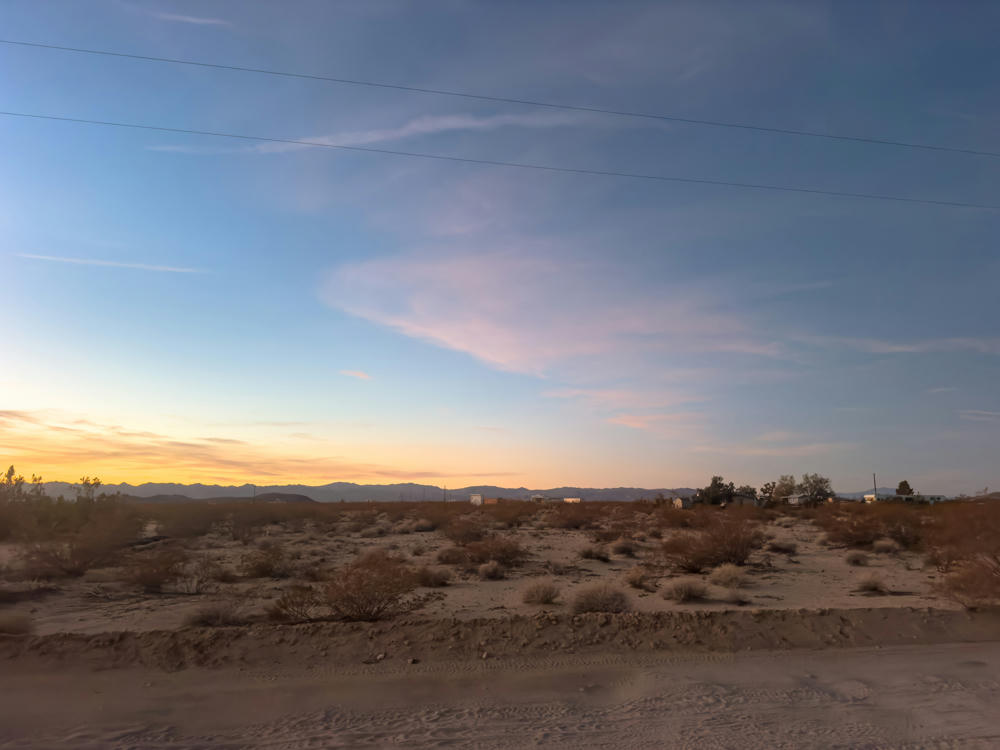
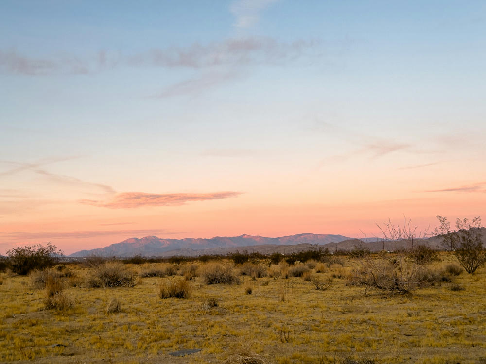
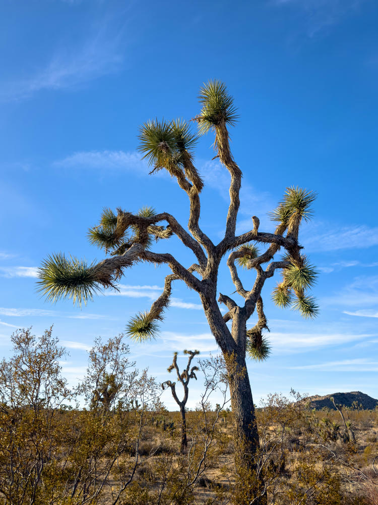
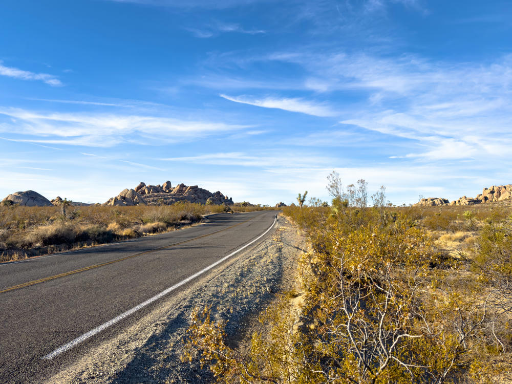
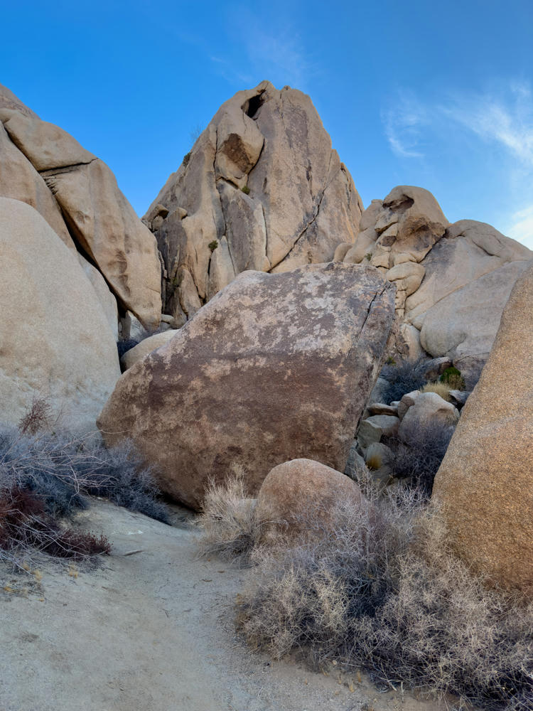
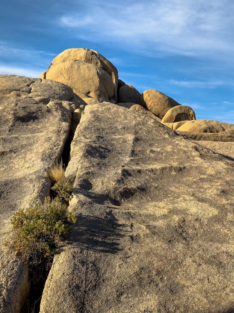
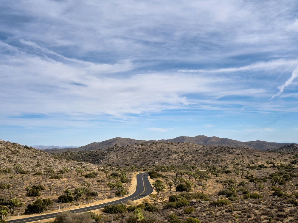
I woke up early this morning to go explore Joshua Tree National Park. What a treat it was!

But, first … sunrise!

northeast of Joshua Tree, California
east of Joshua Tree, California

The park ranger who sold me my entrance ticket said it was good that I was here early in the morning. “Things could get busy later in the day.”

Joshua Tree National Park, California

Now here was a fun road sign …

Joshua Tree National Park, California

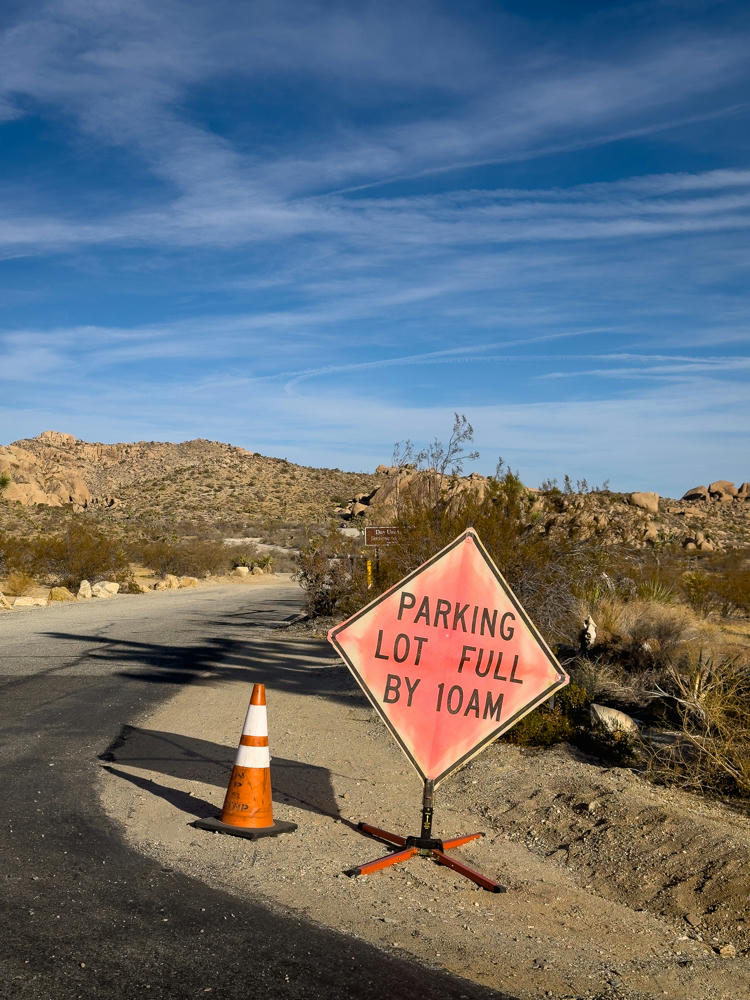
… which told me two things:

  1. Going up this road was going to be so very worth it.
  2. It was, as the park ranger said, good that I was here early. (I passed this sign at 8am.)

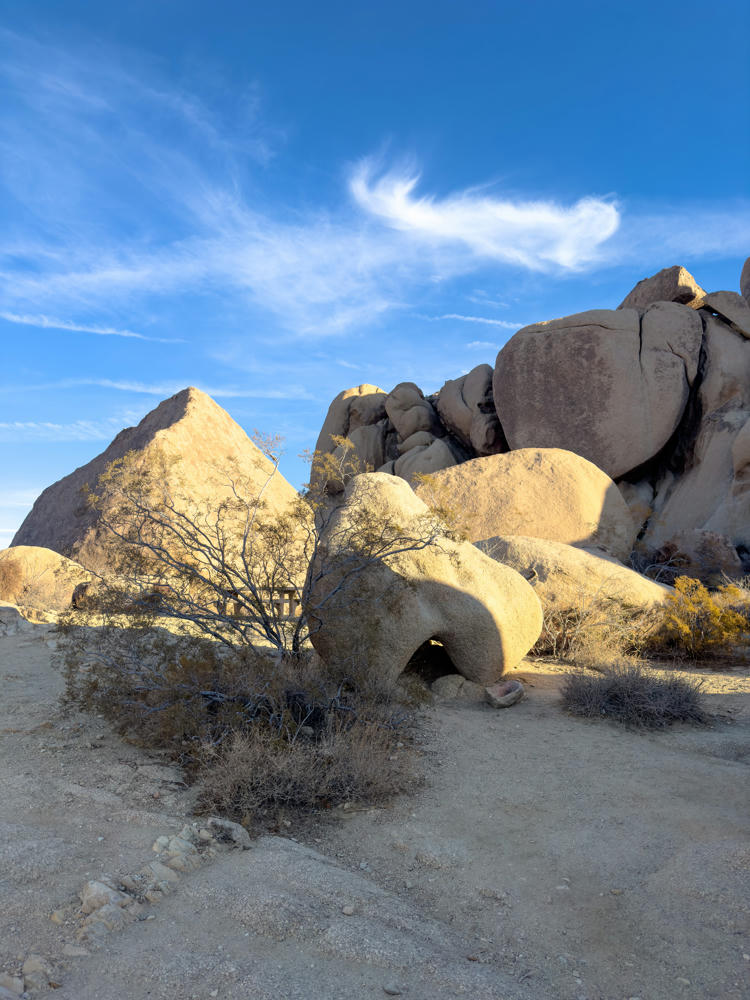
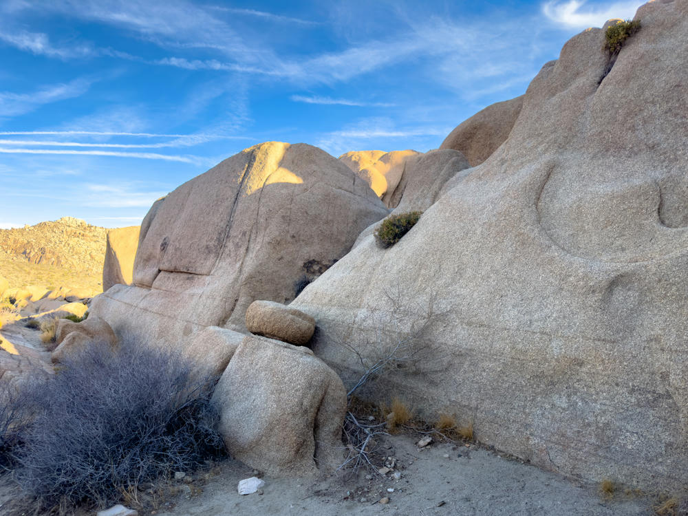
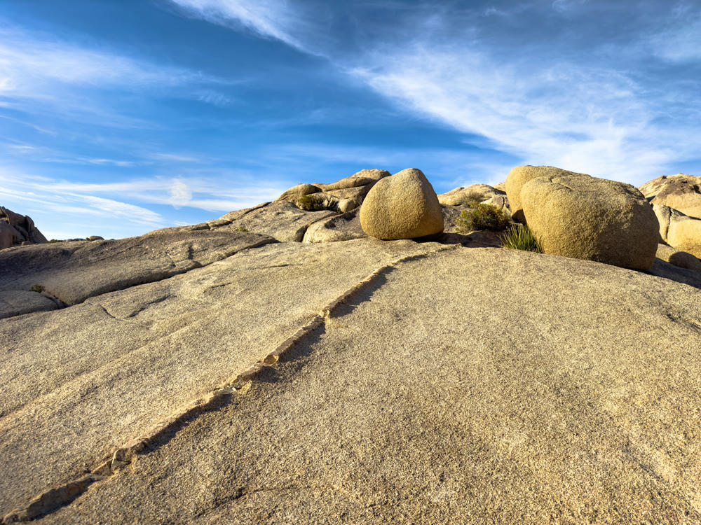
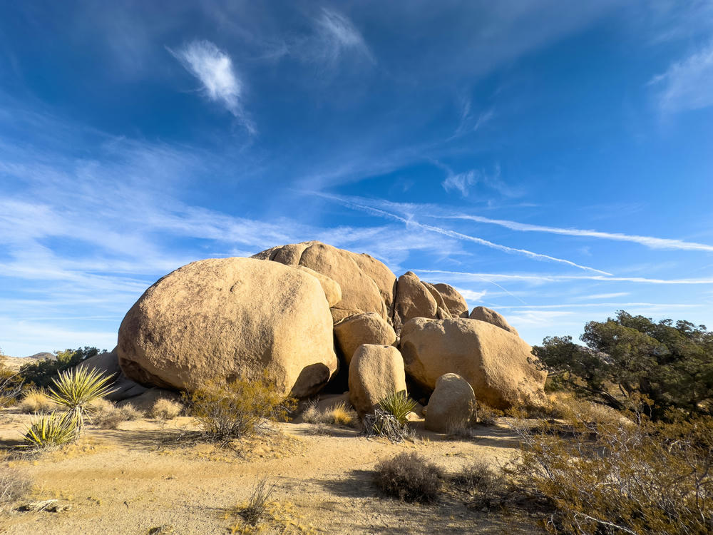
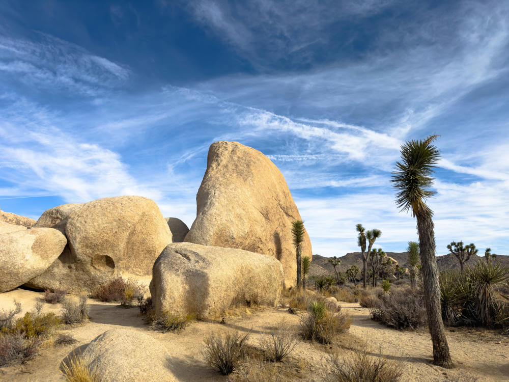
Herewith, split rock. No idea how it got that name shrug 🤷🏻‍♂️:

Split Rock Loop Trail, Joshua Tree National Park, California

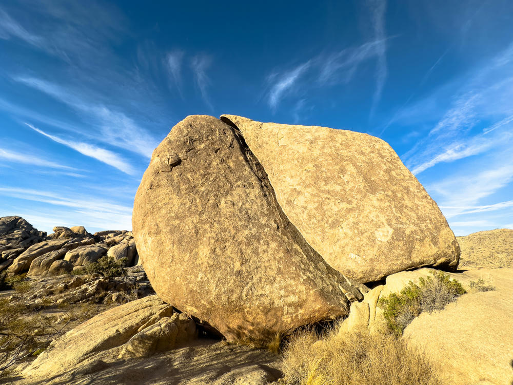
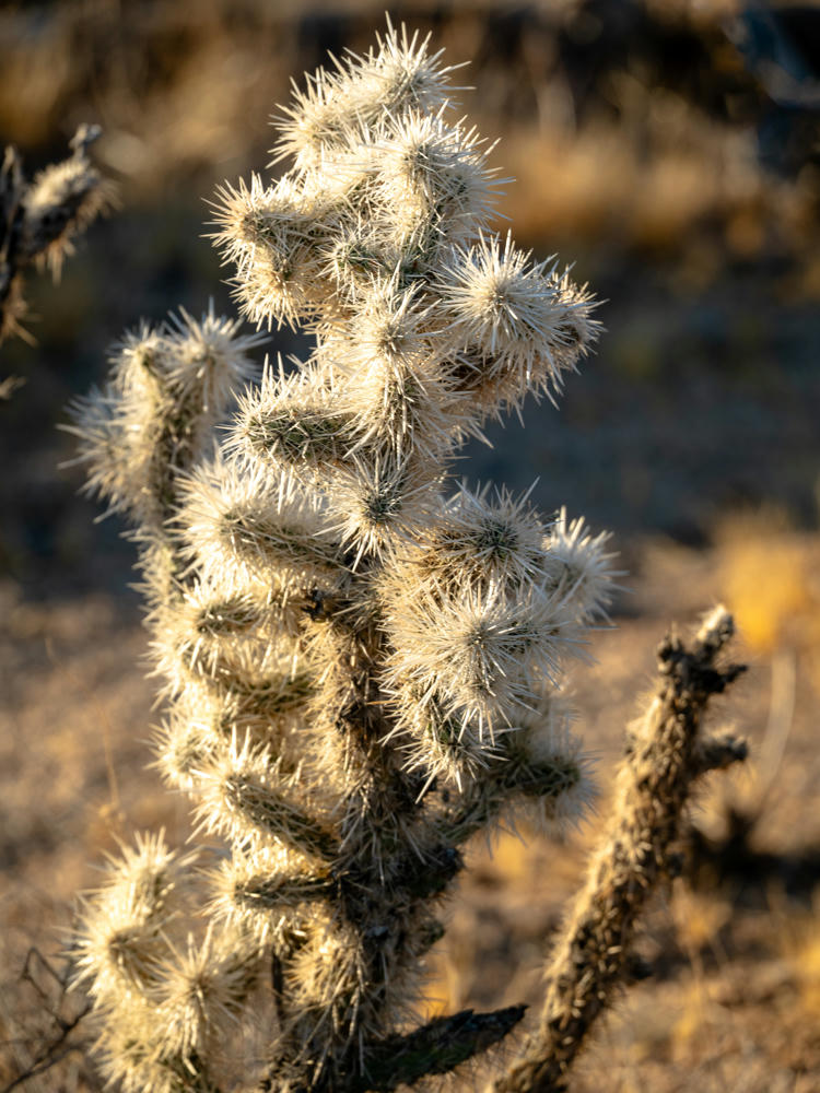
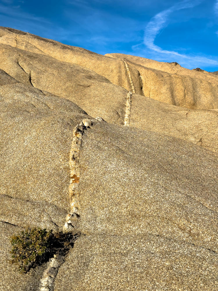
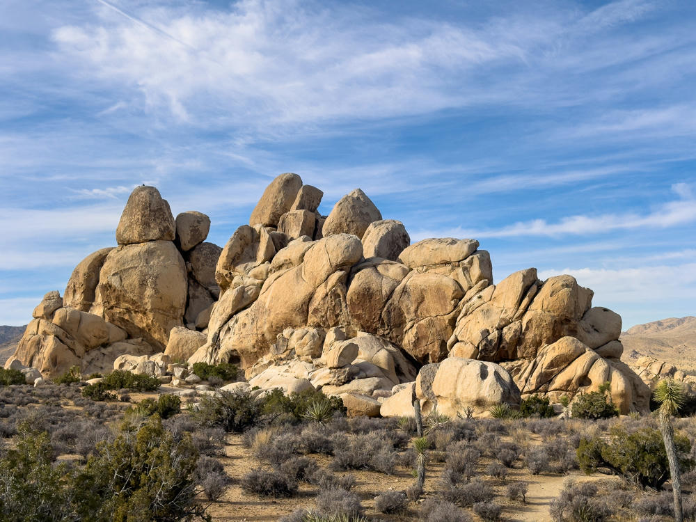
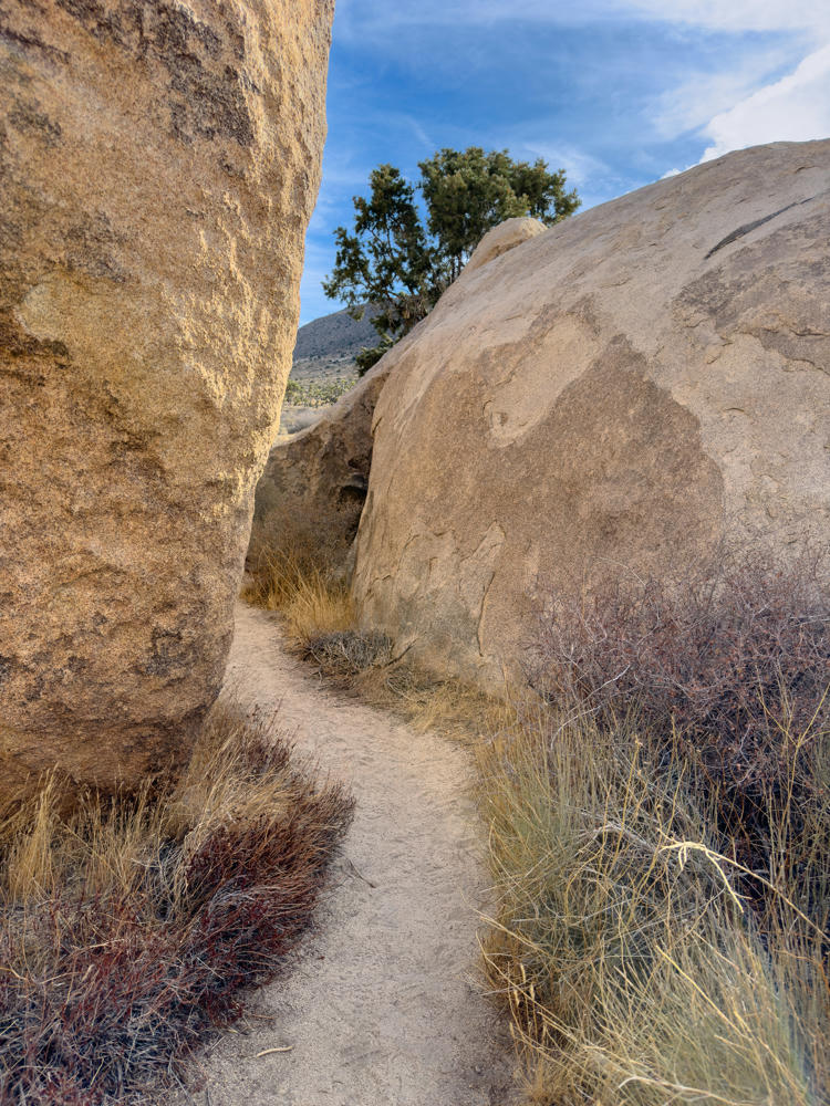
There was a good bit of hiking behind the namesake rock, though.

Split Rock Loop Trail, Joshua Tree National Park, California
Joshua Tree National Park, California

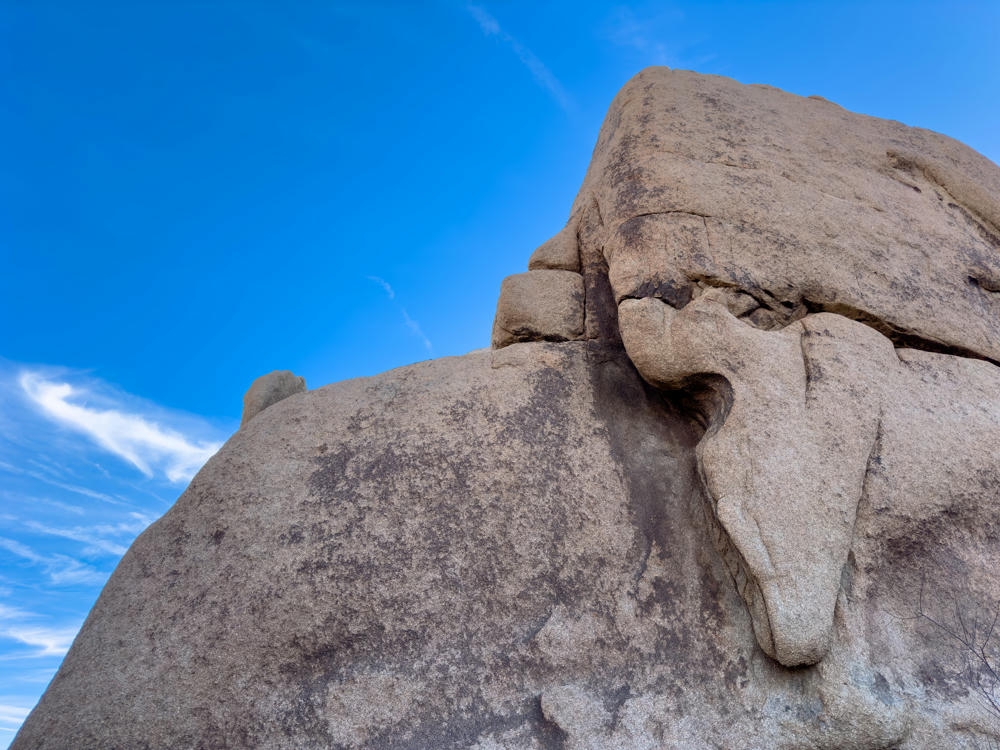
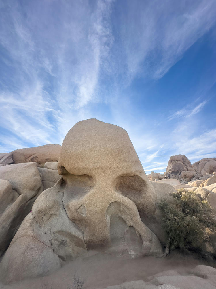
A few miles farther up the road I found Skull Rock …

Skull Rock, Joshua Tree National Park, California

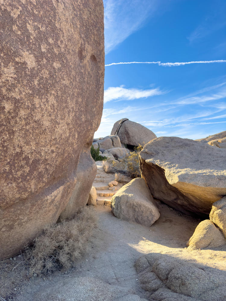
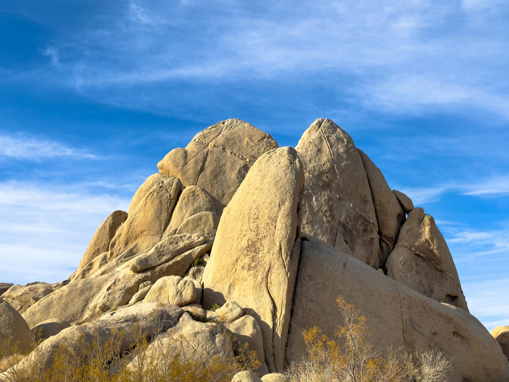
… and then the oddly-named but picturesque Hall of Horrors Area.

Hall of Horrors Area, Joshua Tree National Park, California

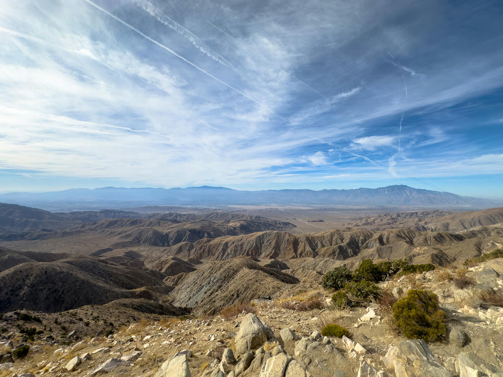
Keys View offered the opportunity to look down into the Salton Valley towards Palm Springs.

Keys View, Joshua Tree National Park, California

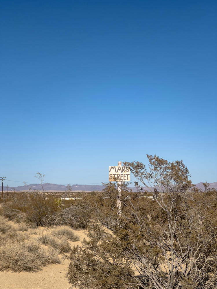
And, with that, the park did indeed start to get busier. I retreated back to where I’m staying for this weekend. The street signs are … a bit informal here:

northeast of Joshua Tree, California

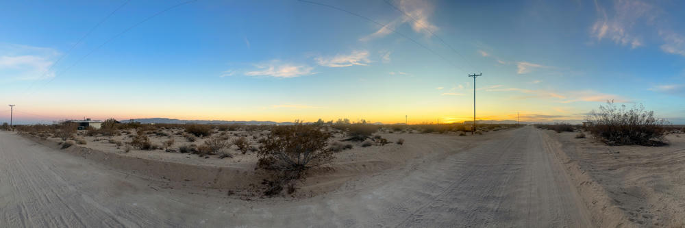
Sunset comes early this time of year (4:40pm).

northeast of Joshua Tree, California

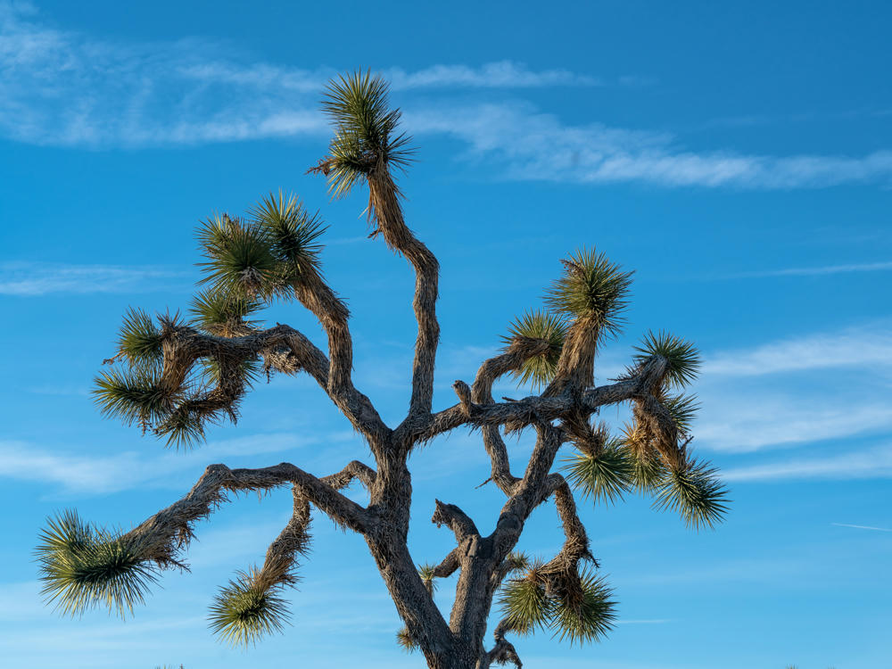
Looking forward to exploring more of the park tomorrow!

around Joshua Tree National Park, California · 149 km / 93 mi
(Mouse over or tap on the markers to see the photos there. Use the button to adjust the map’s position and zoom.)

If you’ve enjoyed this …

Subscribe to my free and occasional (never more than weekly) e-mail newsletter with my latest travel and other stories:

Or follow me on one or more of the socials: