Hi, I'm Eric.

I’m an avid world traveler, photographer, software developer, and digital storyteller.

I help implement the Content Authenticity Initiative at Adobe.

Search Results

A Week in Utah

26 March 2025 3110 km / 1933 mi (map)

I’ve been in Utah for the last week, mostly for personal reasons, but got a few fun window-seat photos and driving-around photos that I’d like to share.
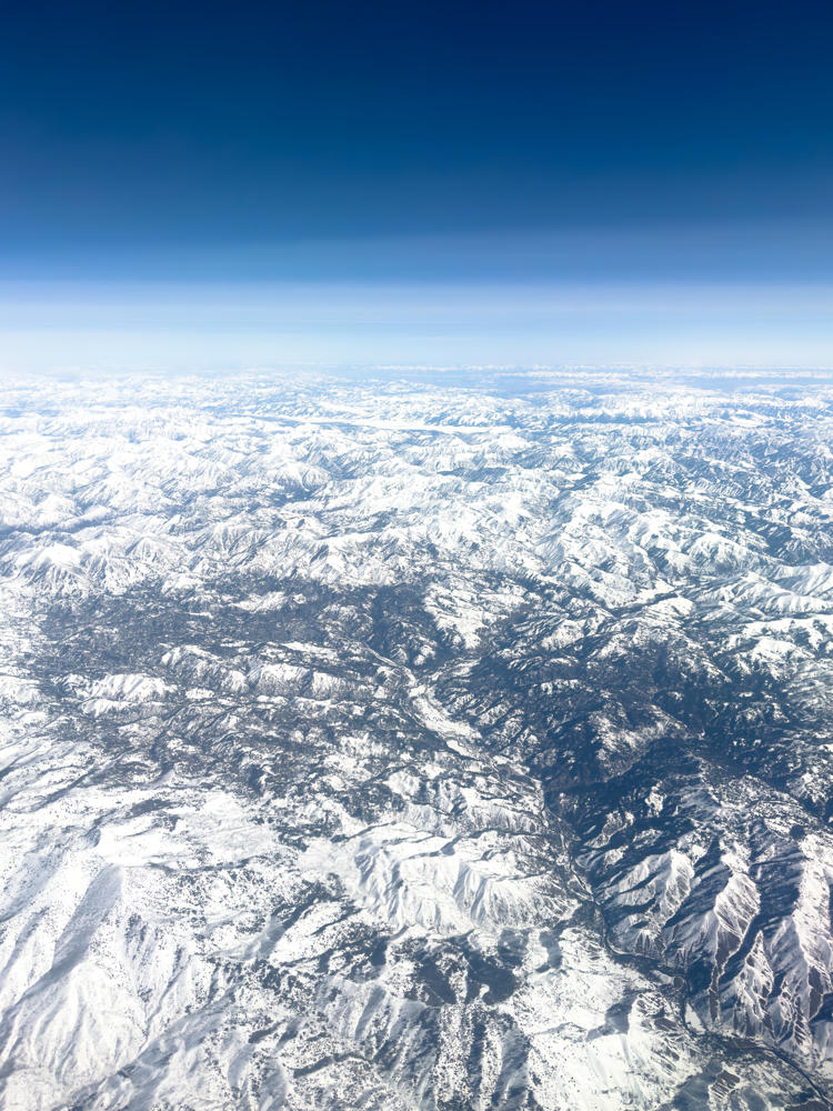
An aerial view from high altitude looking out over a vast expanse of snow-covered mountain ranges, with ridges and valleys stretching to a hazy horizon under a deep blue sky.
north of Dixie, Idaho
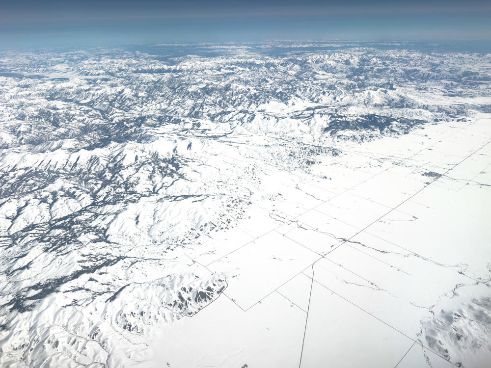
A high-altitude aerial view of a snow-covered landscape near Castle Rocks, Idaho, where rugged snowy mountains and foothills on the left give way to a flat, white plain crisscrossed by faint roads and field boundaries on the right, all under a hazy blue sky fading toward the horizon.
east of Castle Rocks, Idaho
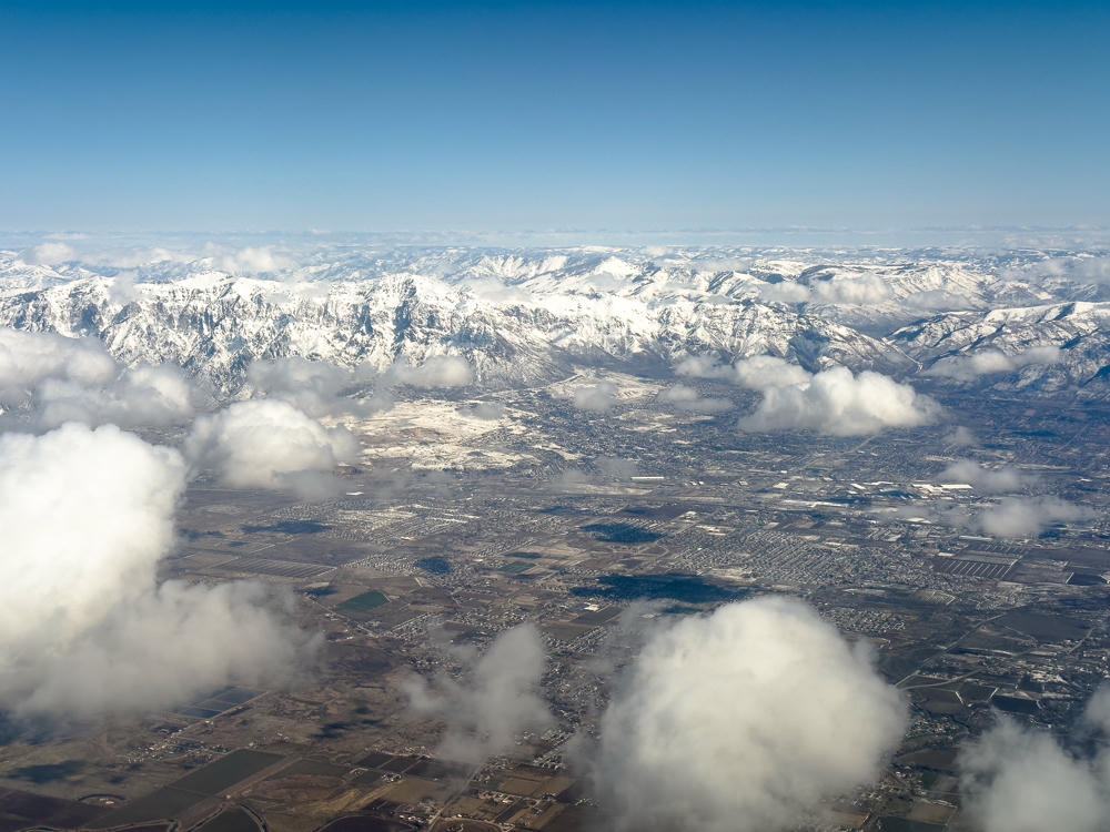
An aerial view over a wide valley near Ogden, Utah, with snow-capped mountains rising in the distance under a clear blue sky. Puffy white clouds drift below the plane, scattered over the gridded farmland and suburban development on the valley floor.
west of Ogden, Utah
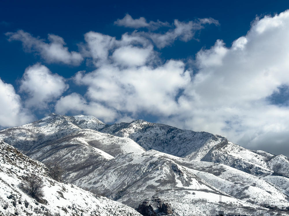
Snow-covered mountain slopes east of Salt Lake City under a deep blue sky filled with puffy white clouds, with bare shrubs and power lines visible on the lower ridges.
Salt Lake City, Utah
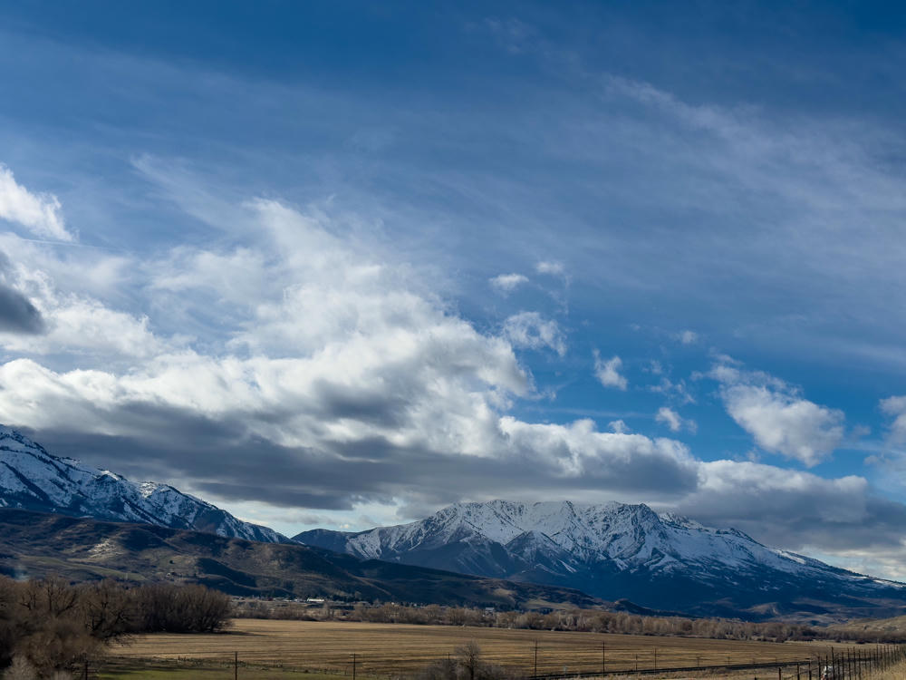
A snow-capped mountain range rises above a broad dry valley with bare trees and farmland in the foreground, beneath a vast blue sky filled with sweeping white and gray clouds near Enterprise, Utah.
Enterprise, Utah
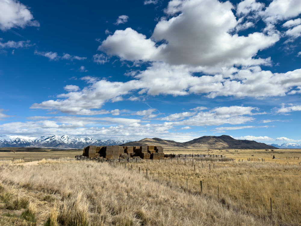
A stack of square hay bales sits beside weathered wooden corrals and wire fencing in a dry, golden grassland, with rolling brown hills and snow-capped mountains on the horizon under a bright blue sky filled with puffy white clouds.
south of Thatcher, Utah
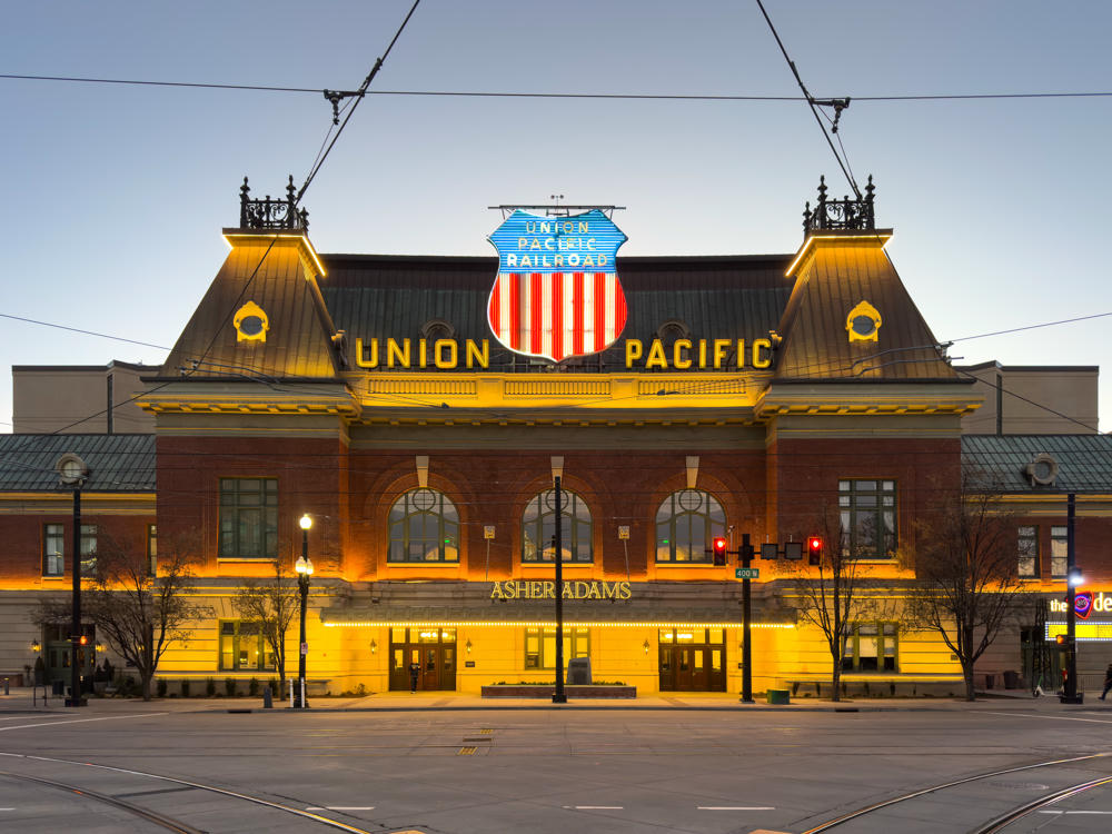
The historic former Union Pacific Railroad depot in Salt Lake City at dusk, its brick facade and arched windows warmly illuminated, with a lit neon “Union Pacific” sign and red, white, and blue shield emblem on the roofline above the entrance marked “Asher Adams.” Light rail tracks curve across the foreground plaza beneath overhead wires, with bare trees and traffic signals flanking the building.
Asher Adams, Autograph Collection, Salt Lake City, Utah
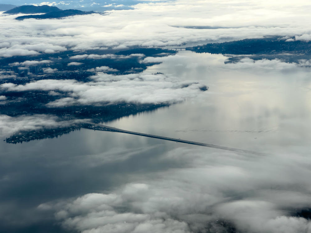
An aerial view from high above a large lake dotted with low clouds, showing a long floating bridge stretching across the water with city neighborhoods, treed shorelines, and distant mountains partly hidden by cloud cover.
above Seattle, Washington

See also: Golden Spike National Historical Park.

Seattle, Washington, to Midway, Utah, and back · 3110 km / 1933 mi
(Mouse over or tap on the markers to see the photos there. Use the button to adjust the map’s position and zoom.)

If you’ve enjoyed this …

Subscribe to my free and occasional (never more than weekly) e-mail newsletter with my latest travel and other stories:

Or follow me on one or more of the socials: