Hi, I'm Eric.

I’m an avid world traveler, photographer, software developer, and digital storyteller.

I help implement the Content Authenticity Initiative at Adobe.

Search Results

California Day 1: Window Seat!

4 April 2025 1503 km / 934 mi (map)

I’m in California to attend a conference in the Bay Area. I came down a few days early to (surprise, surprise) do a bit of exploring.

In a bit of a plot twist, I’ve skipped my usual trip to the Mendocino Coast and instead am spending the weekend near Monterey.

Today, though, is all about the window seat and I got some fun mountain views on the way south.
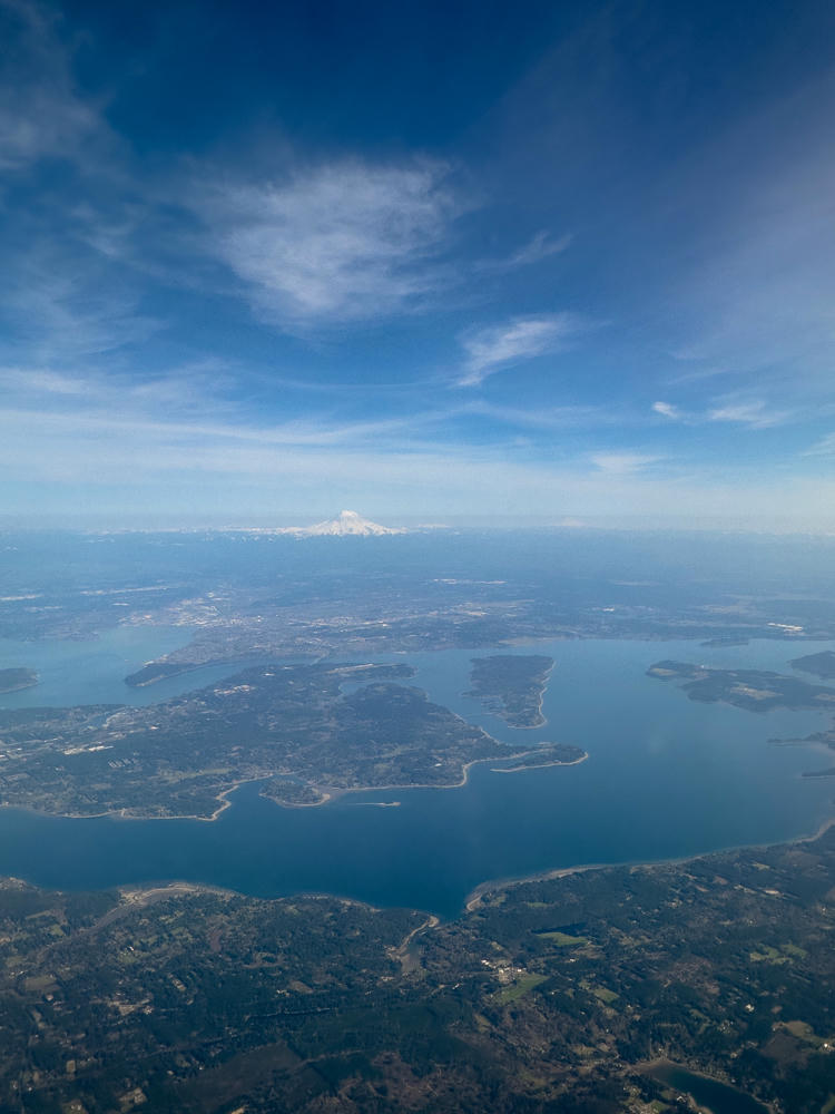
An aerial view from high altitude over Port Orchard, Washington, showing forested islands and peninsulas cut by blue waterways and inlets of Puget Sound, with snow-capped Mount Rainier visible on the hazy horizon beneath a vast blue sky streaked with wispy clouds.
above Port Orchard, Washington
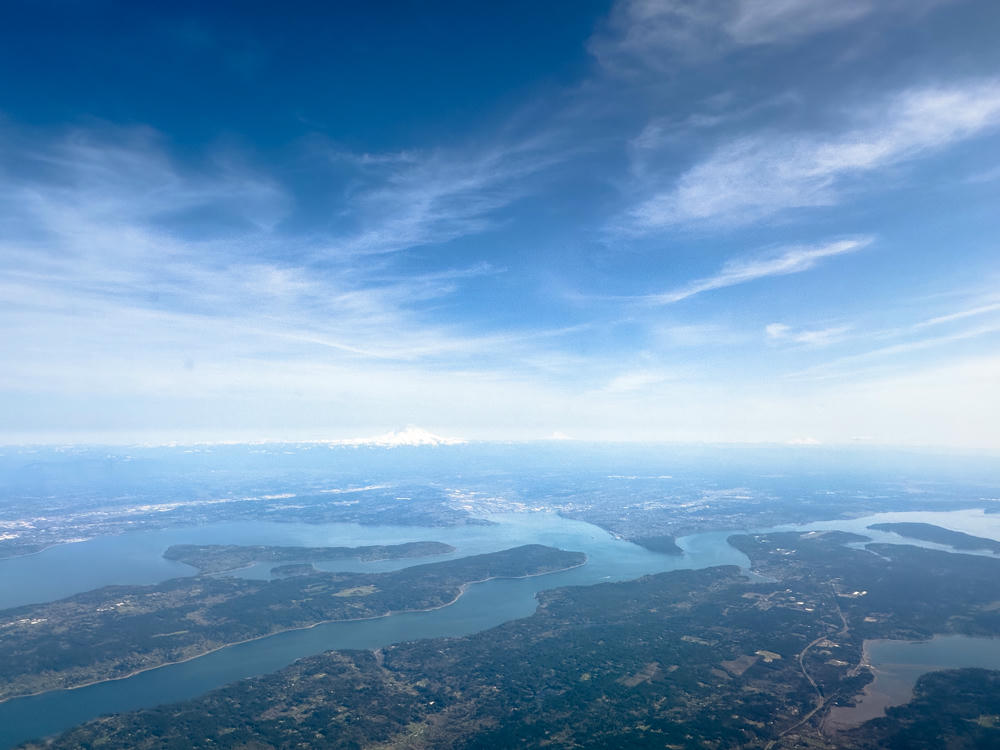
An aerial view from high altitude over the Puget Sound region near Allyn, Washington, showing intricate inlets, forested peninsulas, and islands surrounded by deep blue water, with a snow-capped Mount Rainier rising on the distant horizon under a wide blue sky streaked with thin clouds.
above Allyn, Washington

Love this “close up” of Mount Shasta! Close up is used sort of ironically; from what I can tell, I was 57 km / 35 miles west of the mountain when this was taken.
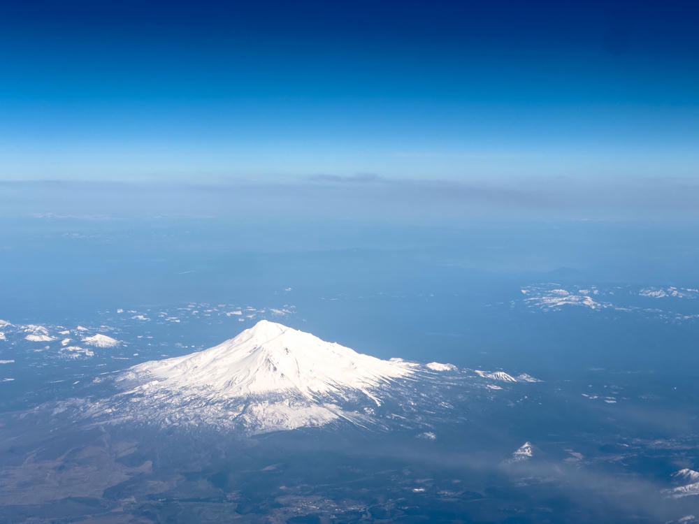
An aerial view from high altitude of a large snow-capped volcanic peak rising above hazy, flat surrounding terrain, with a deep blue sky fading to a pale horizon above.
Mount Shasta · above Greenview, California
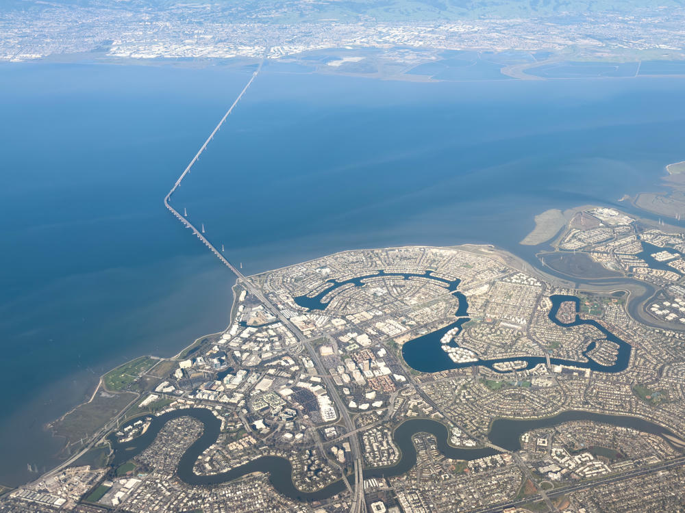
Aerial view from an airplane window looking out over San Francisco Bay, with a peninsula city laced with man-made lagoons and channels in the foreground, a long causeway bridge crossing the bay water, and hazy hills and shoreline communities stretching to the horizon under a pale blue sky.
San Mateo – Hayward Bridge · above Hillsborough, California
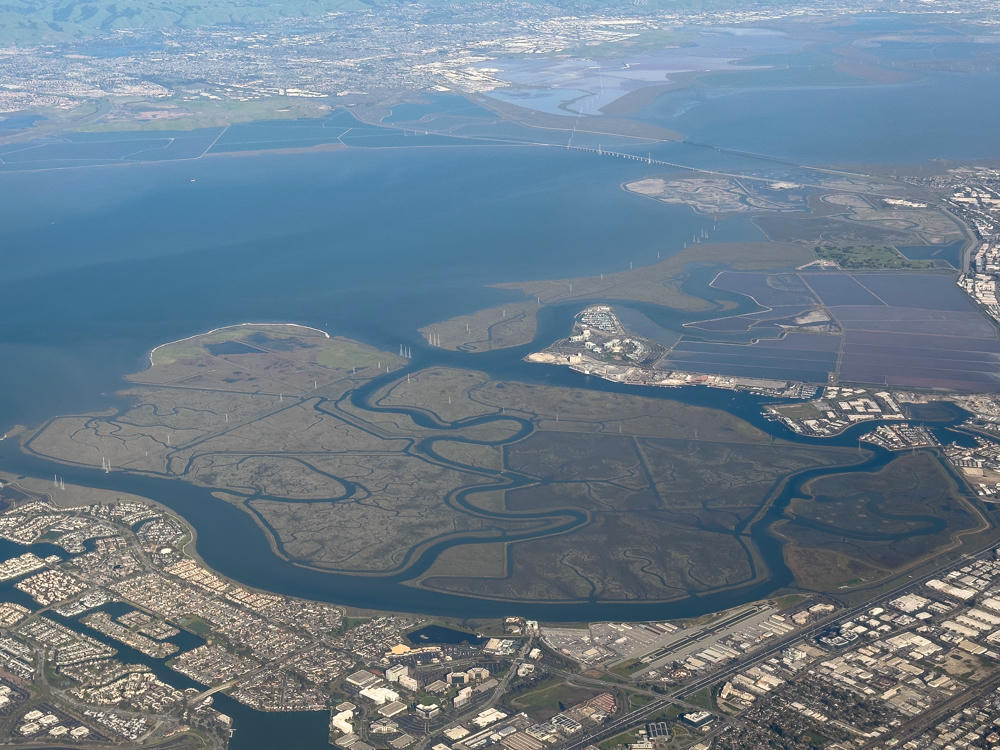
An aerial view over the San Francisco Bay near Belmont, California, showing tidal salt marshes with winding sloughs, residential developments with waterfront homes, and industrial areas along the shoreline, with a long bridge crossing the bay and distant hills under a hazy sky.
above Belmont, California

Looking forward to some fun adventures tomorrow!

Poulsbo, Washington, to Monterey, California · 1503 km / 934 mi
(Mouse over or tap on the markers to see the photos there. Use the button to adjust the map’s position and zoom.)

If you’ve enjoyed this …

Subscribe to my free and occasional (never more than weekly) e-mail newsletter with my latest travel and other stories:

Or follow me on one or more of the socials: