Hi, I'm Eric.

I’m an avid world traveler, photographer, software developer, and digital storyteller.

I help implement the Content Authenticity Initiative at Adobe.

Search Results

California Day 2: Pinnacles National Park, West Side

5 April 2025 187 km / 116 mi (map)

I’m staying this weekend near Monterey. I’ve long been curious about Pinnacles National Park, so I ventured out to explore the west side of the park today.

California State Route 146 was once envisioned to cross through the park. Fortunately, a generation ago, it was understood that the wilderness was more valuable that any road that might pass through it, so the road is (hopefully) permanently incomplete.

Given the low traffic volume, there are some stretches of it that are marked as “one lane road.” I’d say it’s more like 1½ lanes, but still … it’s a fun and very mellow drive.
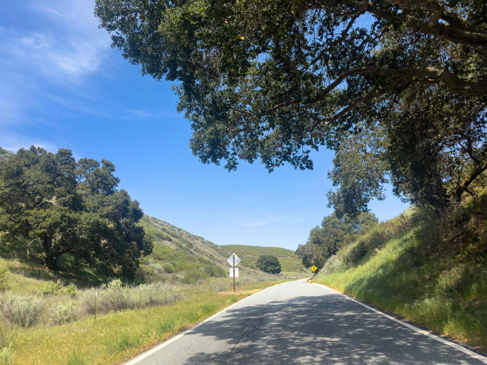
A two-lane country road winds through a green canyon east of Soledad, California, lined by grassy hillsides and large oak trees casting dappled shadows on the pavement, under a bright blue sky with wispy clouds. A yellow winding-road sign and a white sign stand along the roadside.
east of Soledad, California
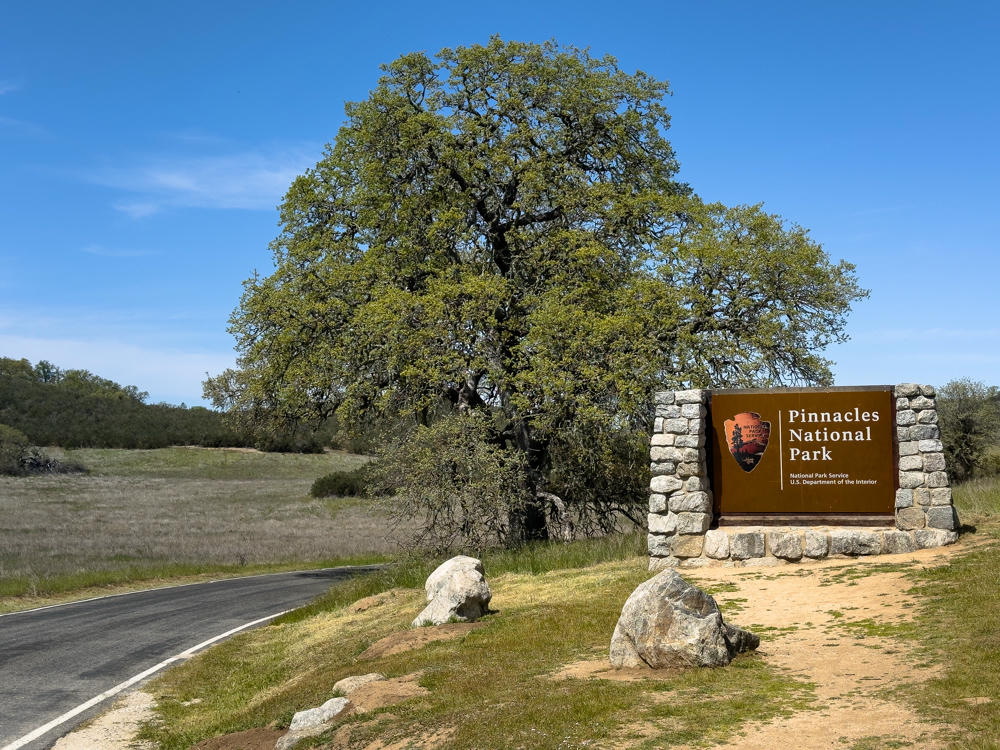
The entrance sign for Pinnacles National Park, a brown panel with the National Park Service arrowhead logo set between two stone pillars, beside a paved road curving through dry grassland under a clear blue sky. A large green oak tree stands behind the sign, with boulders placed on the grassy ground in front.
Pinnacles National Park, east of Soledad, California

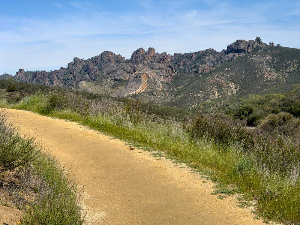
A park like this is built to celebrate distinctive natural landscapes. There were, of course, many beautiful views on the hikes I took today. I’ll let them speak for themselves:
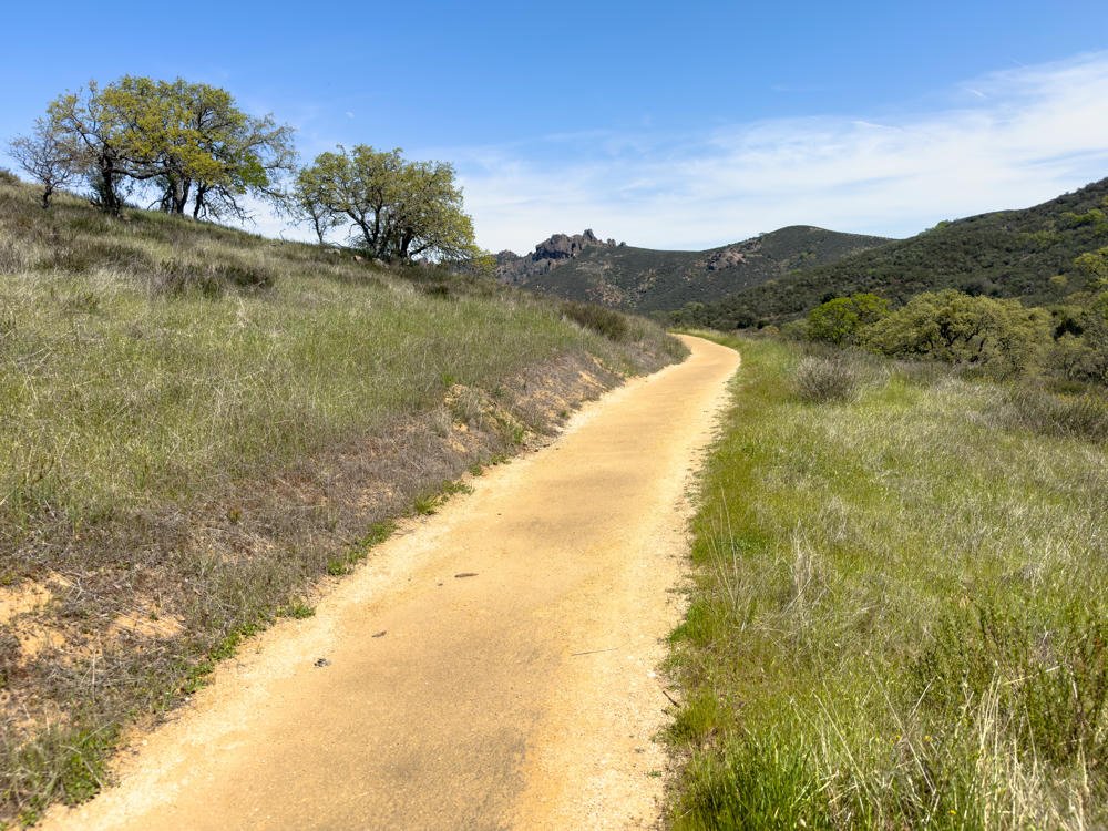
A wide, light-colored gravel trail curves through grassy green and golden hills under a bright blue sky with wispy clouds. Oak trees grow on a slope to the left, and rugged rocky peaks and rolling green-covered mountains rise in the distance.
Prewett Point Trail, Pinnacles National Park, east of Soledad, California
A sandy dirt trail winds through grassy scrubland toward a ridge of jagged, reddish-brown rock spires under a mostly blue sky with thin wispy clouds. Green chaparral and tall grasses line the path, with forested slopes flanking the dramatic rock formations.
Prewett Point Trail, Pinnacles National Park, east of Soledad, California
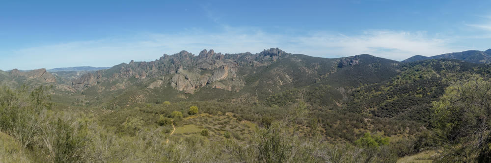
A panoramic view across Pinnacles National Park, showing jagged rocky peaks and spires rising along the horizon under a pale, hazy sky, with rolling hills covered in green chaparral and scrub in the midground and foreground.
Prewett Point Trail, Pinnacles National Park, east of Soledad, California
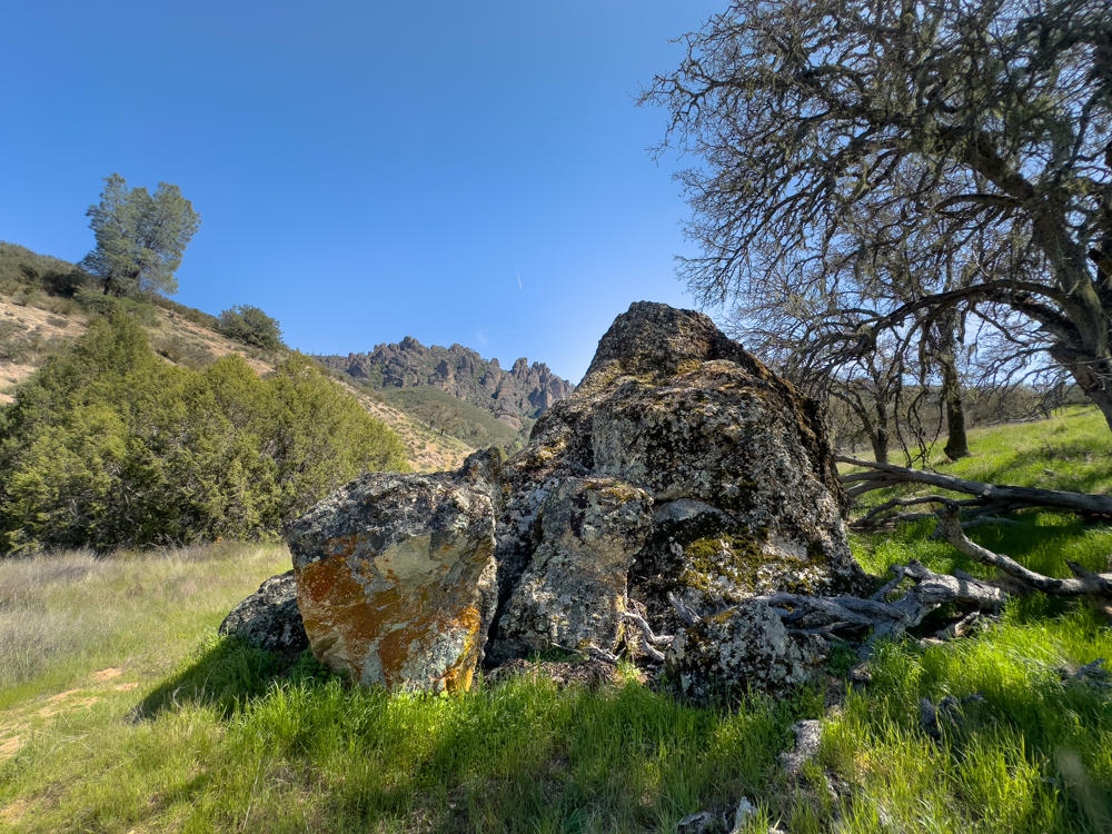
Large lichen-covered boulders, splotched with orange and green, sit in a grassy meadow under a clear blue sky, with a bare oak tree on the right and jagged rocky pinnacle formations rising in the distance.
North Wilderness Trail, Pinnacles National Park, east of Soledad, California
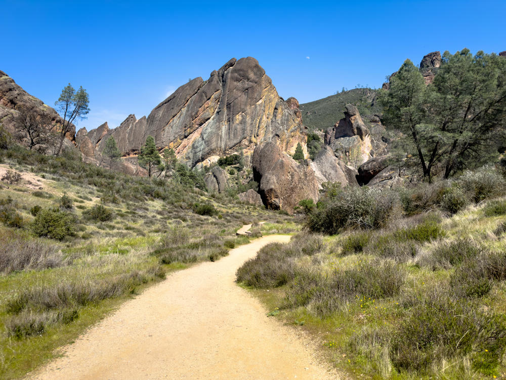
A sandy hiking trail winds through scrubby green and golden grassland toward dramatic rust-colored rock formations and jagged spires under a clear blue sky, with scattered pines and a faint moon visible above the peaks.
Balconies Trail, Pinnacles National Park, east of Soledad, California
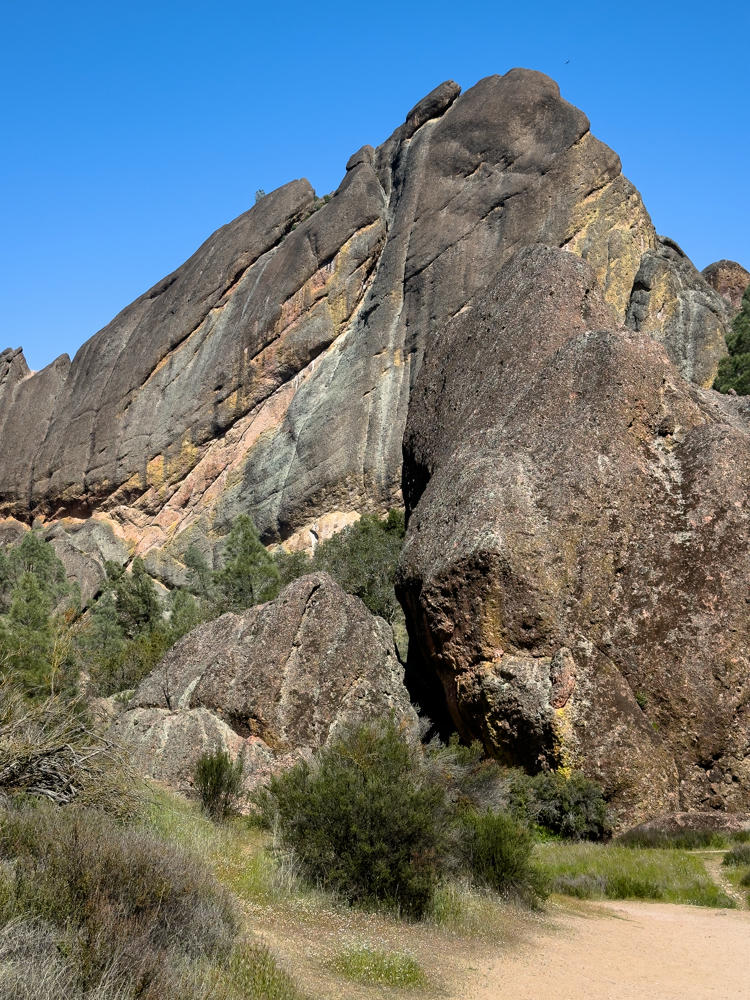
A towering, jagged rock formation of weathered volcanic stone rises against a clear blue sky, its angular face streaked with gray, tan, and rust colors. At its base, smaller boulders, green shrubs, and trees line a dirt trail that curves through dry grass in the foreground.
Balconies Trail, Pinnacles National Park, east of Soledad, California
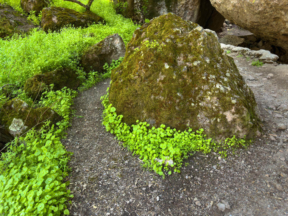
A large moss-covered boulder sits along a dirt and gravel trail, ringed at its base by bright green clusters of round-leaved miner’s lettuce. Smaller mossy rocks and dense patches of lush green vegetation fill the shaded left side, with a rocky path curving past the boulder on the right.
Balconies Trail, Pinnacles National Park, east of Soledad, California
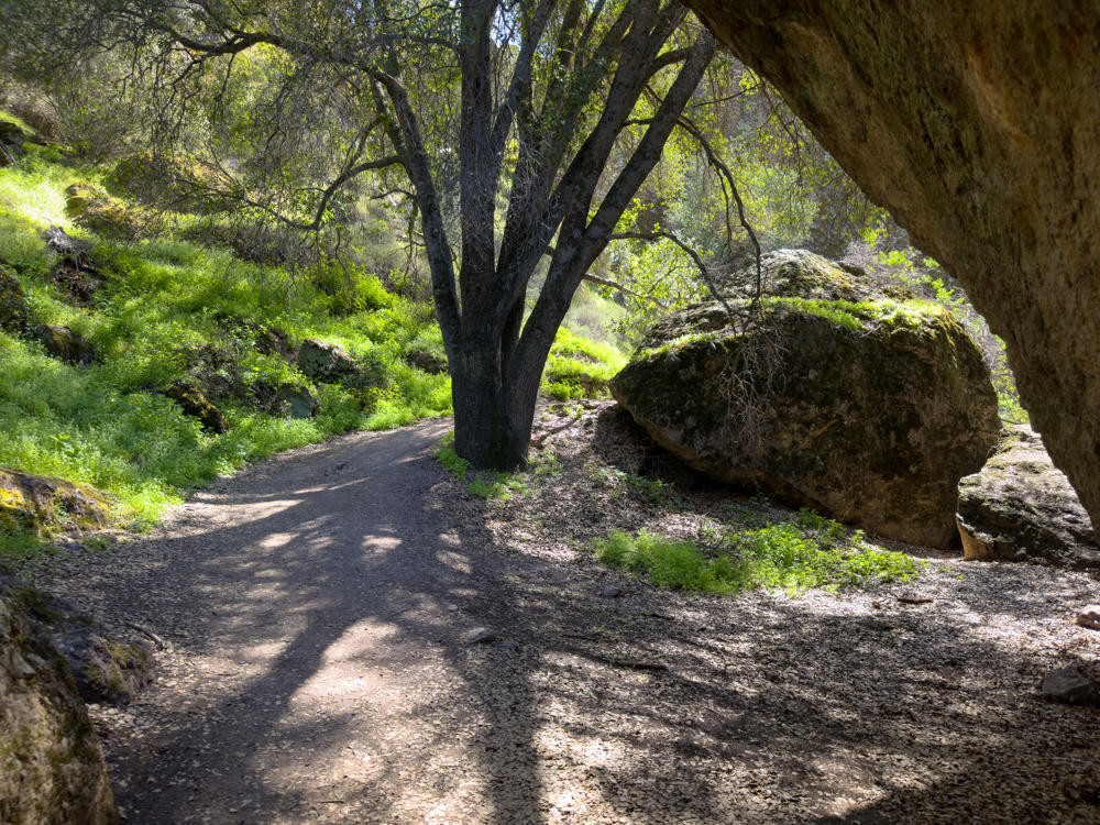
A gravel hiking trail curves through a wooded canyon, passing beneath a large multi-trunked oak tree and alongside massive lichen-covered boulders, with bright green springtime undergrowth covering the slopes in dappled afternoon sunlight.
Balconies Trail, Pinnacles National Park, east of Soledad, California
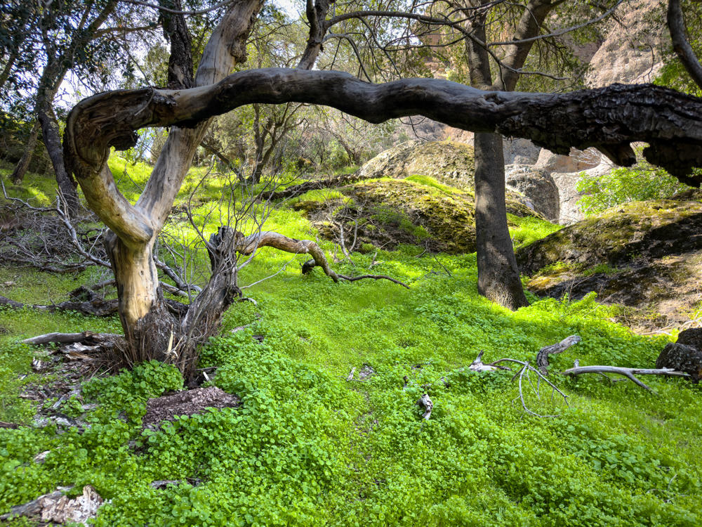
A weathered, twisting bare tree trunk arches dramatically across a woodland floor carpeted in vivid green clover and groundcover, with mossy boulders, fallen branches, and leafy oak trees in the dappled background.
Balconies Trail, Pinnacles National Park, east of Soledad, California
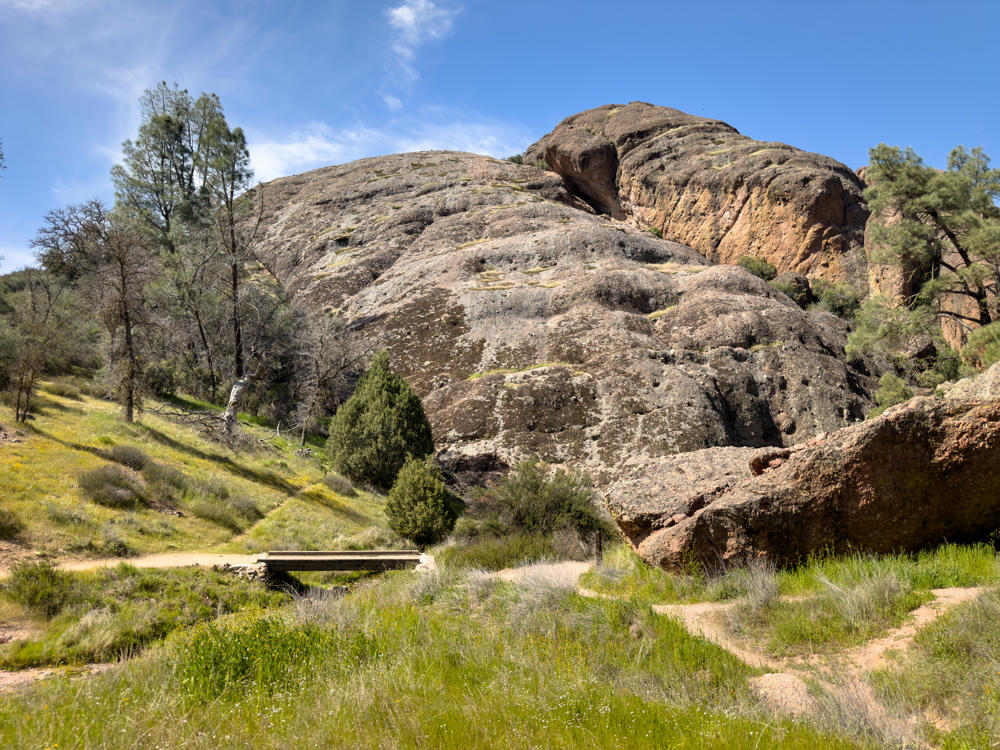
A large rounded rock formation with weathered gray and reddish-orange volcanic rock rises against a blue sky with wispy clouds, while a grassy green hillside dotted with small wildflowers, trees, and shrubs spreads across the foreground. A dirt trail leads to a low wooden footbridge over a small drainage at the base of the rocks.
Balconies Trail, Pinnacles National Park, east of Soledad, California
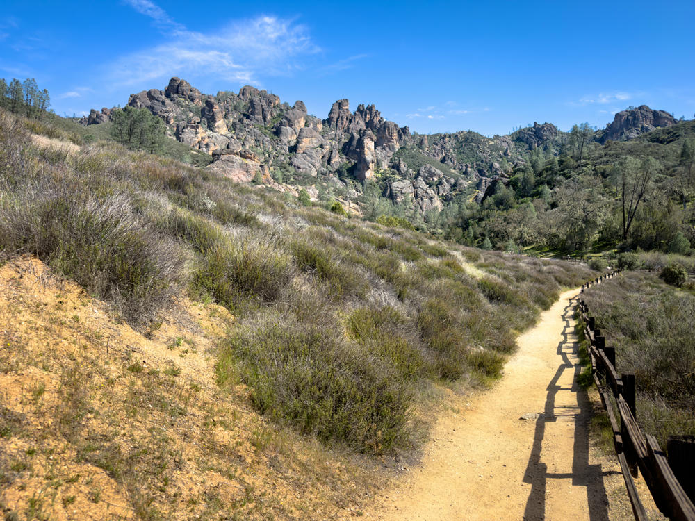
A sandy dirt hiking trail bordered by a wooden post-and-rail fence winds through brushy hillsides toward dramatic jagged rock spires and crags under a clear blue sky at Pinnacles National Park.
Juniper Canyon Trail, Pinnacles National Park, east of Soledad, California
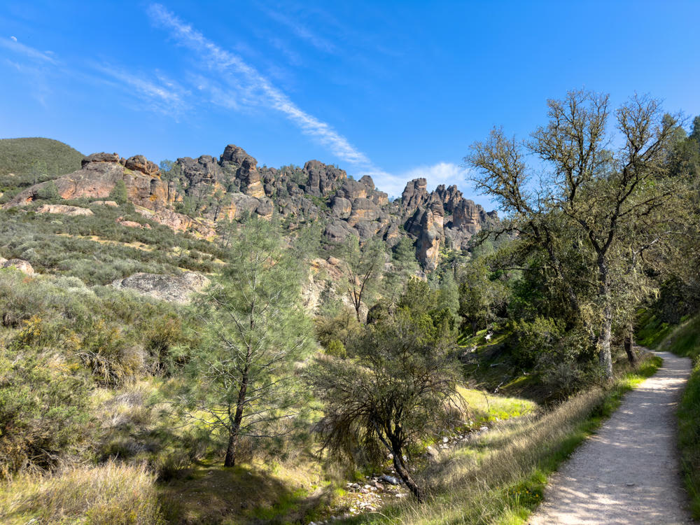
A dirt hiking trail winds along the right side of a sunlit canyon, lined with oak and pine trees, scrubby green chaparral, and grasses, while jagged rocky pinnacles rise in the background under a bright blue sky with wispy clouds.
Juniper Canyon Trail, Pinnacles National Park, east of Soledad, California

Tomorrow I shall explore the east side of the park.

Monterey to Pinnacles National Park, California and back · 187 km / 116 mi
(Mouse over or tap on the markers to see the photos there. Use the button to adjust the map’s position and zoom.)

If you’ve enjoyed this …

Subscribe to my free and occasional (never more than weekly) e-mail newsletter with my latest travel and other stories:

Or follow me on one or more of the socials: