
Hi, I'm Eric.
I’m an avid world traveler, photographer, software developer, and digital storyteller.
I help implement the Content Authenticity Initiative at Adobe.
Hi, I'm Eric.
I’m an avid world traveler, photographer, software developer, and digital storyteller.
I help implement the Content Authenticity Initiative at Adobe.
6 April 2025 • 287 km / 178 mi (map)
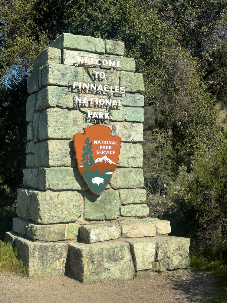
Yesterday, I explored the west side of Pinnacles National Park. Today, I made the longer trek to the east side of the park.
Though only a few miles as the crow (or maybe I should say condor) flies, it’s an entirely different trip for us humans using cars to get to the east and west side of the park.
Despite being in a much more remote part of California, the east side is far more popular. How remote, you might ask? Long before making the final turn into the park, I passed a sign stating, “Next services 75 miles.”
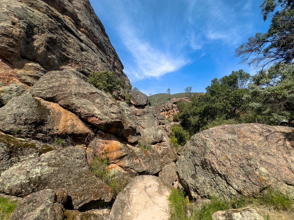
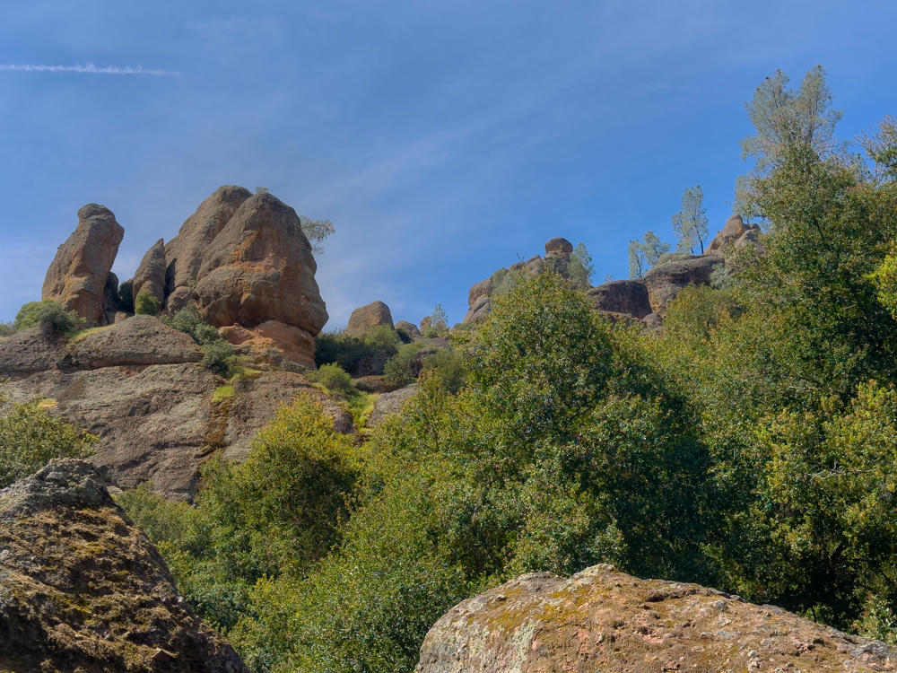
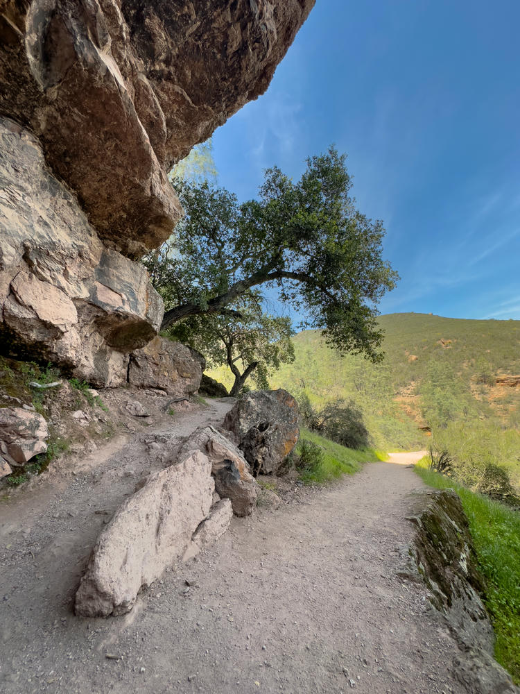
I did a brief hike on the “Old Pinnacles Trail” and then moved to the main area starting from the Bear Gulch Day Use Area.
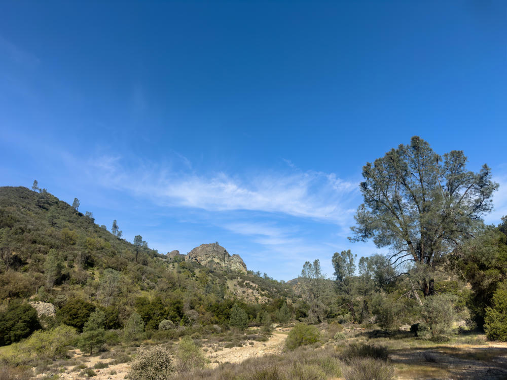
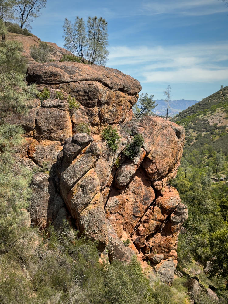
Once on trail from Bear Gulch, I began to see what the fuss was about.
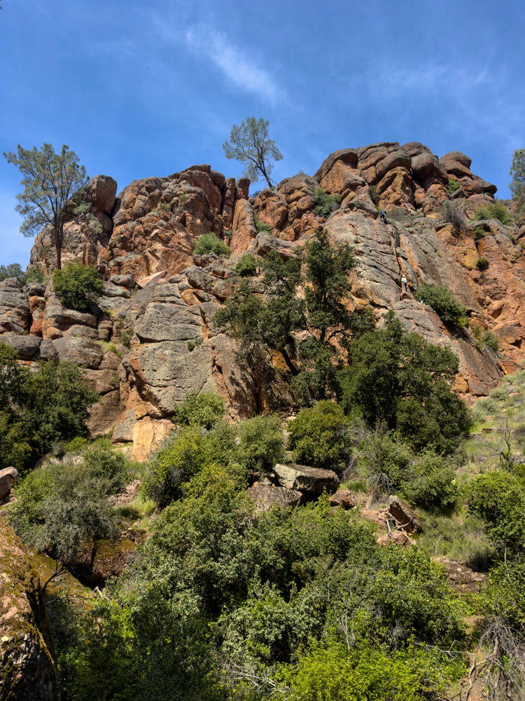
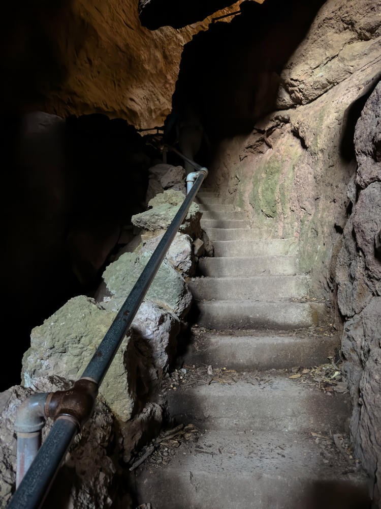
The Bear Gulch Cave Tail was a special treat. “Flashlights required,” they said. And they weren’t kidding.
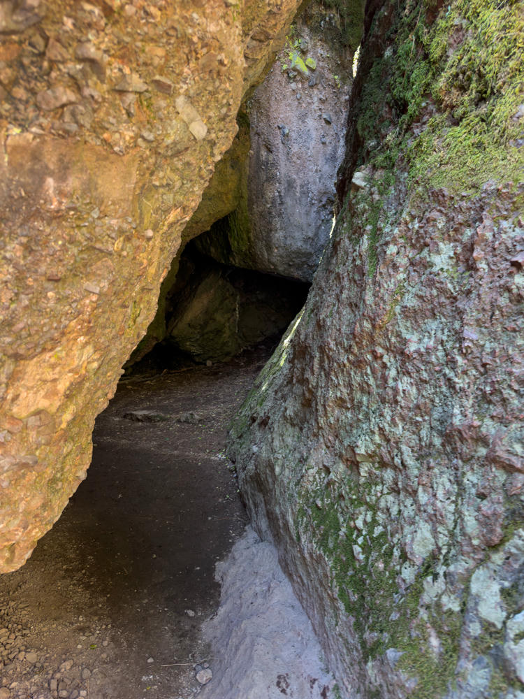
The next photo may look brightly lit, but let me assure you it was not. (This is an iPhone photo and I’m very impressed with how it did, given the need to hand-hold for most of a second inside the cave.)
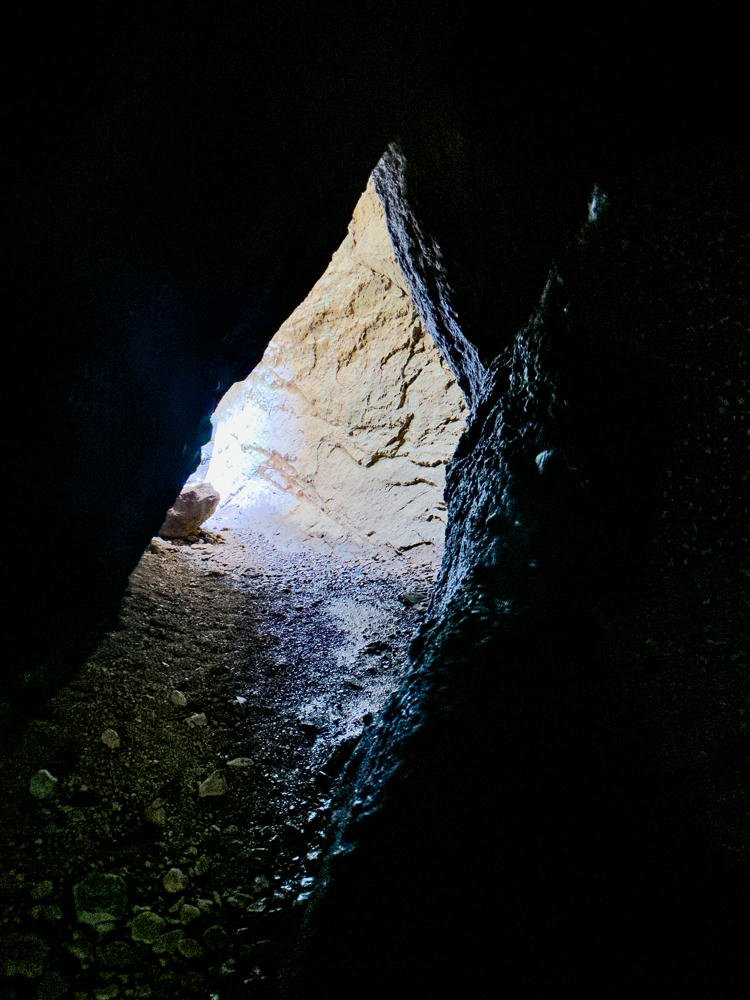
Someone warned me on the way in that I should remove my hat (baseball cap) before entering the cave part of the trail because I’d likely hit my head on the ceiling. They were right about the part where I would eventually hit my head. But I’m glad I didn’t actually remove my hat. The hat absorbed the impact gracefully; I don’t think my bare skull would have done so well.
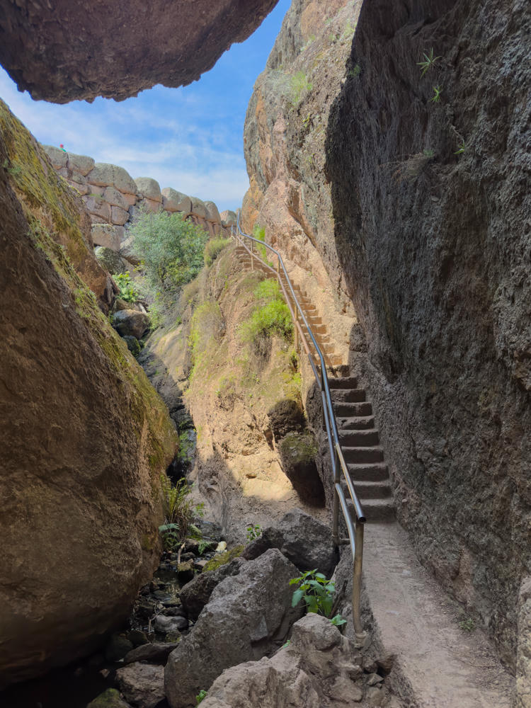
One last meticulously-built stairway and I was up and out of the caves:
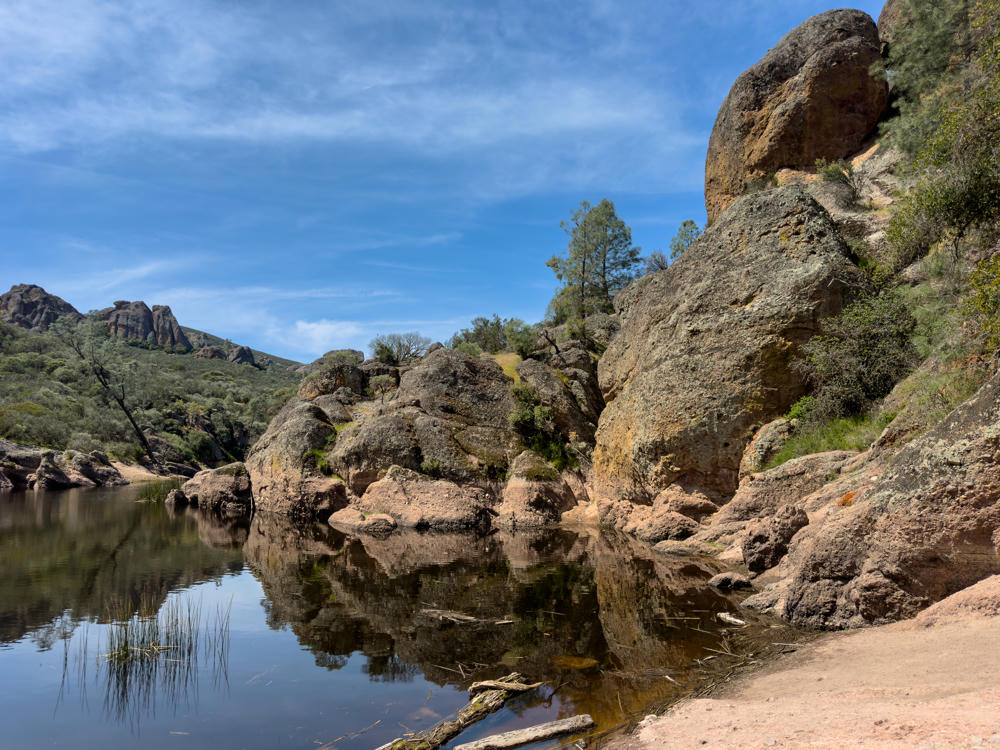
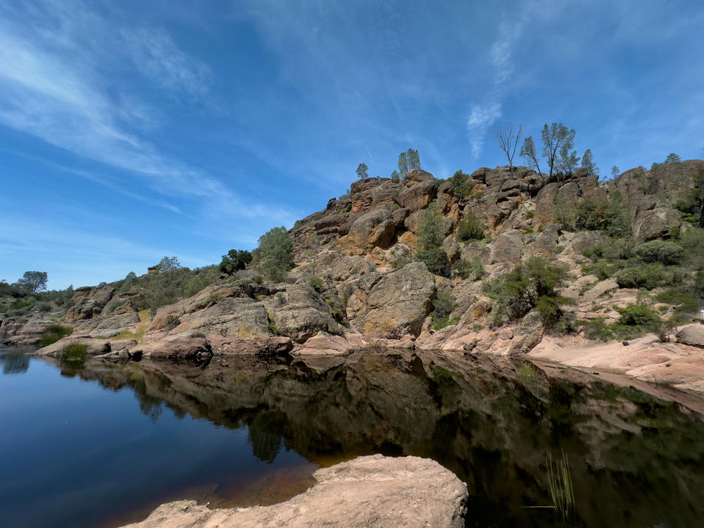
The end result of this hike is arriving at the Bear Gulch Reservoir, a popular resting point for many day-hikers.
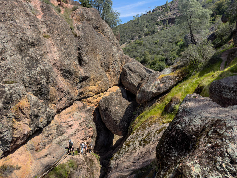
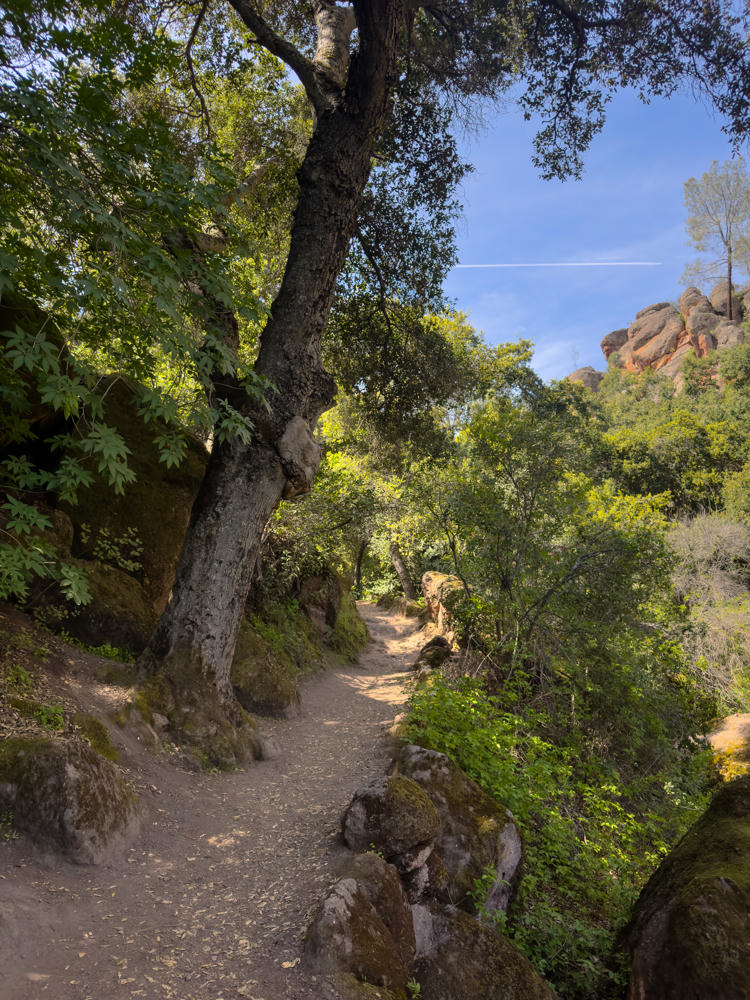
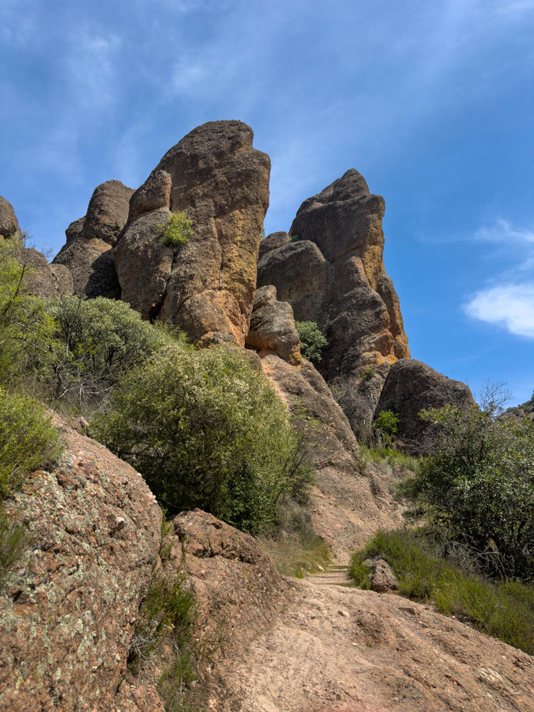
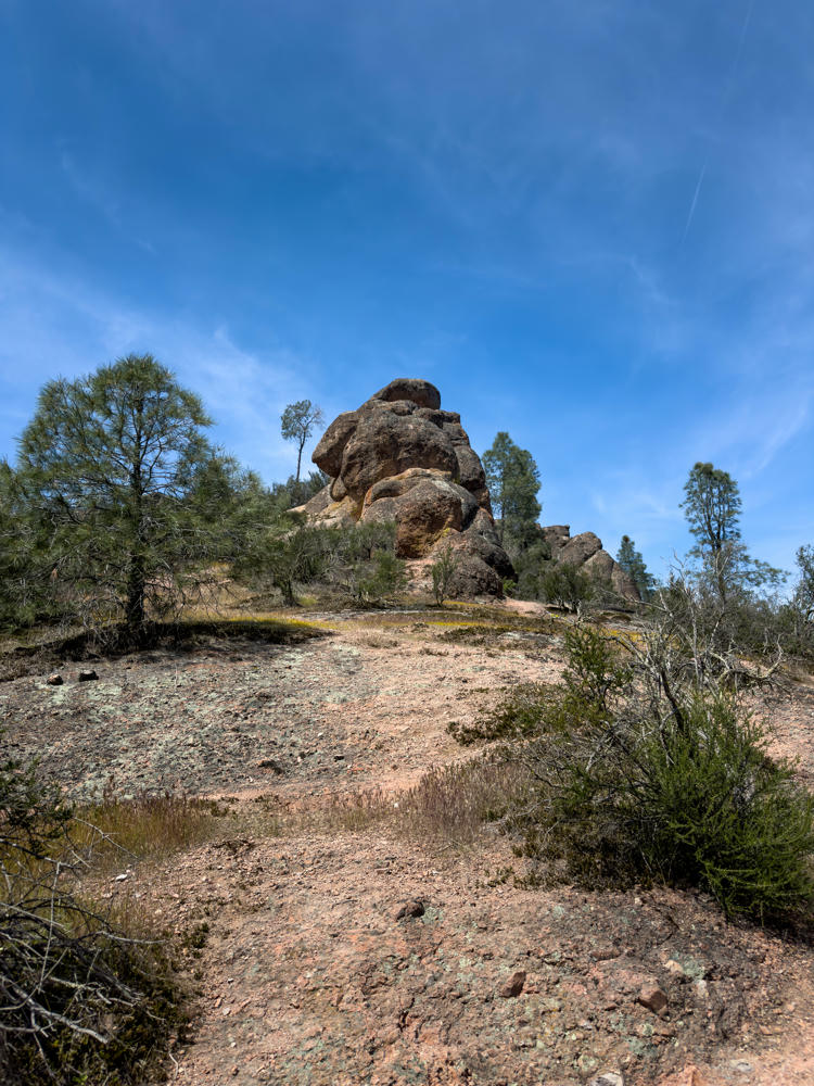
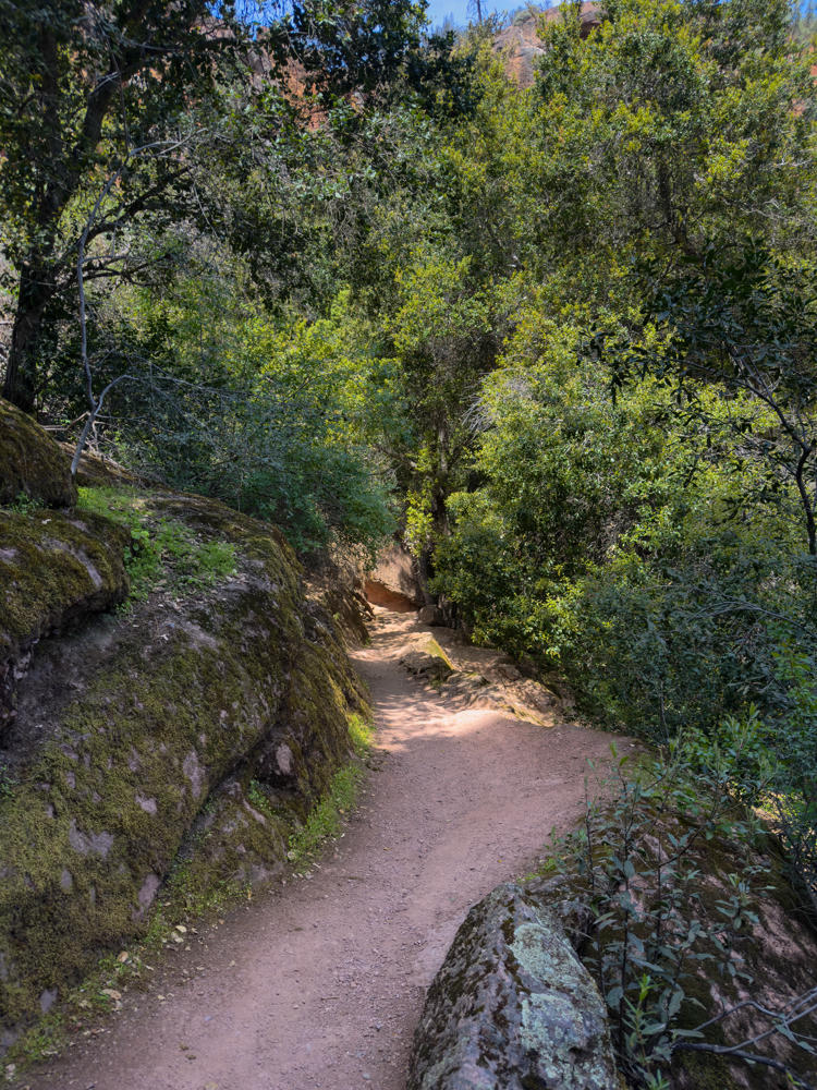
I decided not to back track through the cave on my way back, but rather to use the Rim and High Peaks trails. While “longer” in distance, it was far easier to navigate. And it offered some nice scenery of its own.
All in all, a good day with some delightful hiking. So thankful we have such special places preserved in our National Park system.

Subscribe to my free and occasional (never more than weekly) e-mail newsletter with my latest travel and other stories:
Or follow me on one or more of the socials: