Hi, I'm Eric.
I’m an avid world traveler, photographer, software developer, and digital storyteller.
I help implement the Content Authenticity Initiative at Adobe.
Hi, I'm Eric.
I’m an avid world traveler, photographer, software developer, and digital storyteller.
I help implement the Content Authenticity Initiative at Adobe.
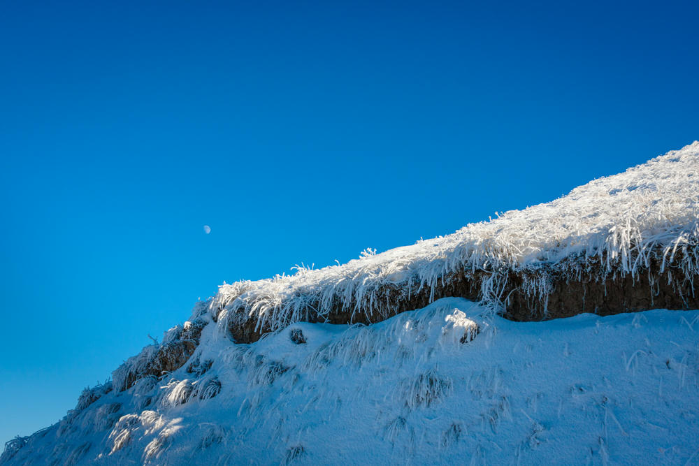
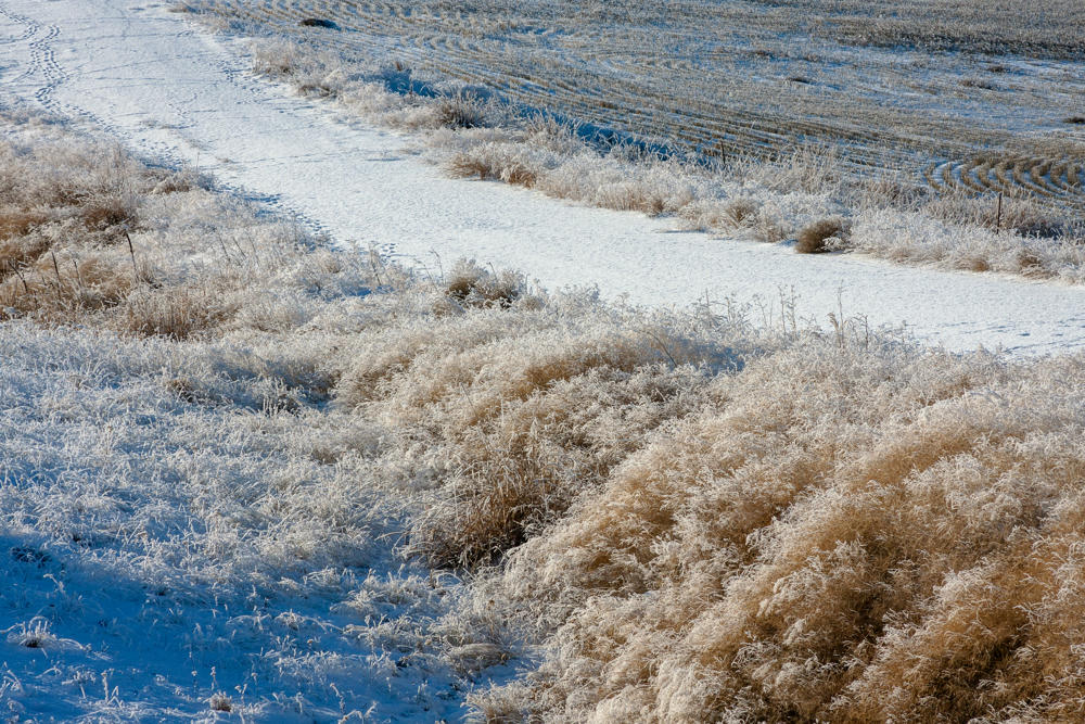
27 December 2009 • 553 km / 343 mi (map)
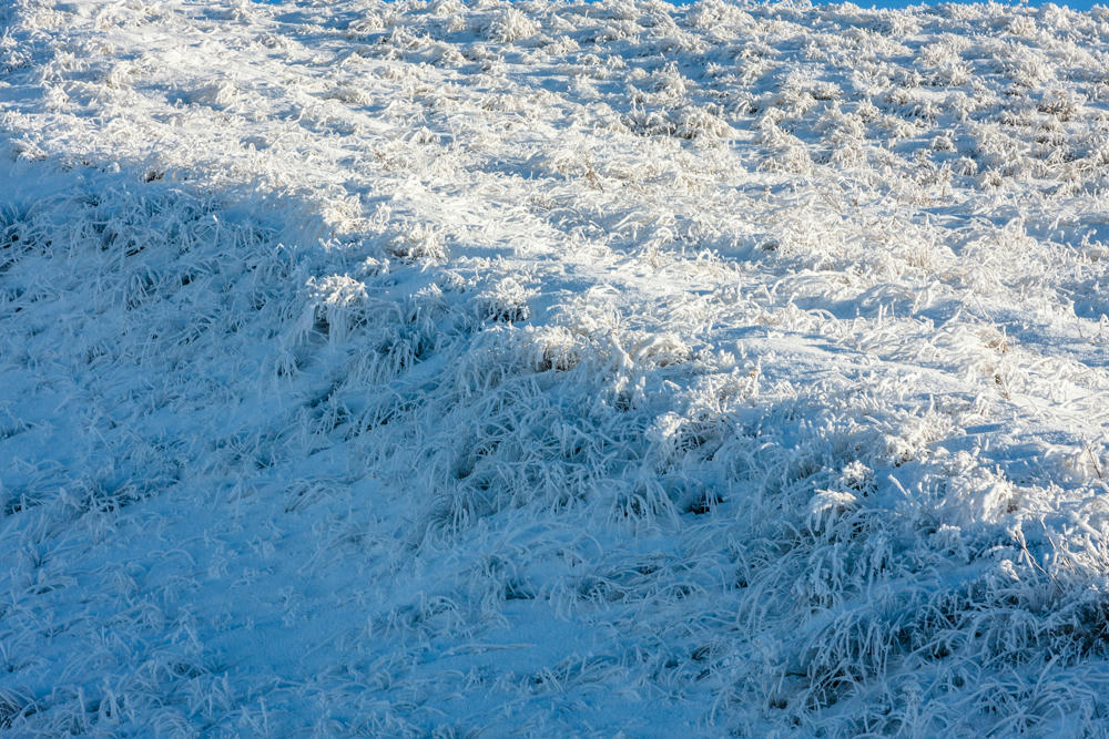
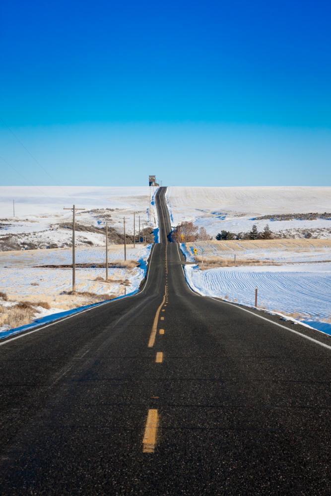
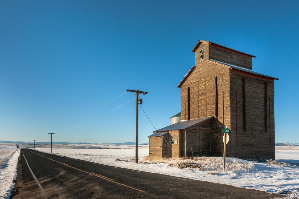
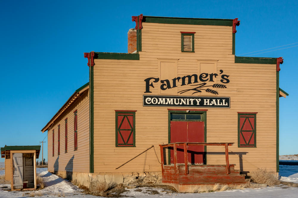
I had fun driving today, mostly looking for winter farm scenes in the high plains east of Wenatchee, before winding up in Omak for the night.
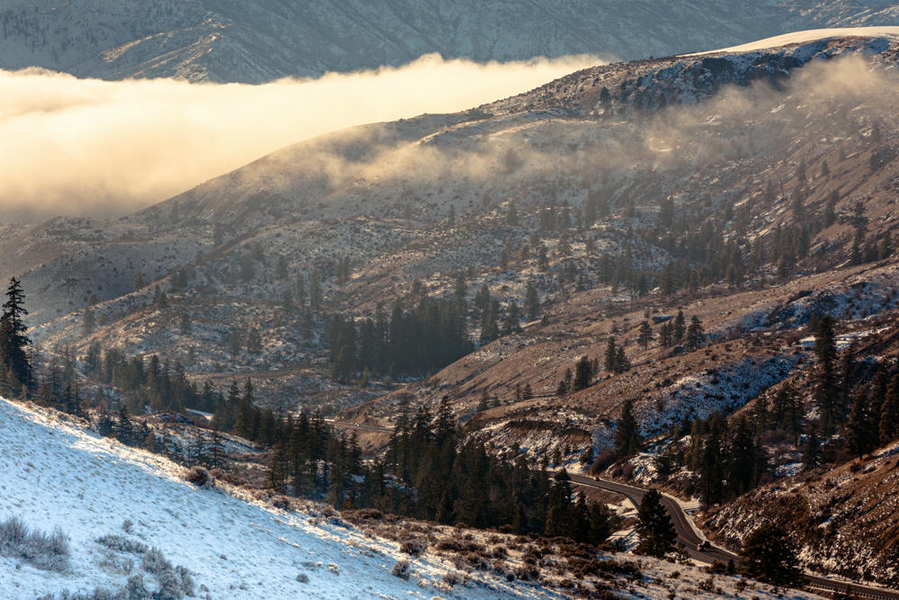
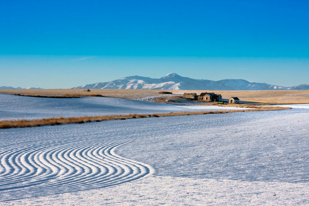
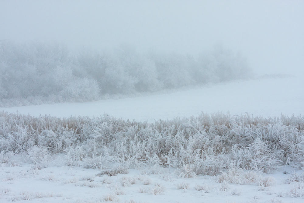
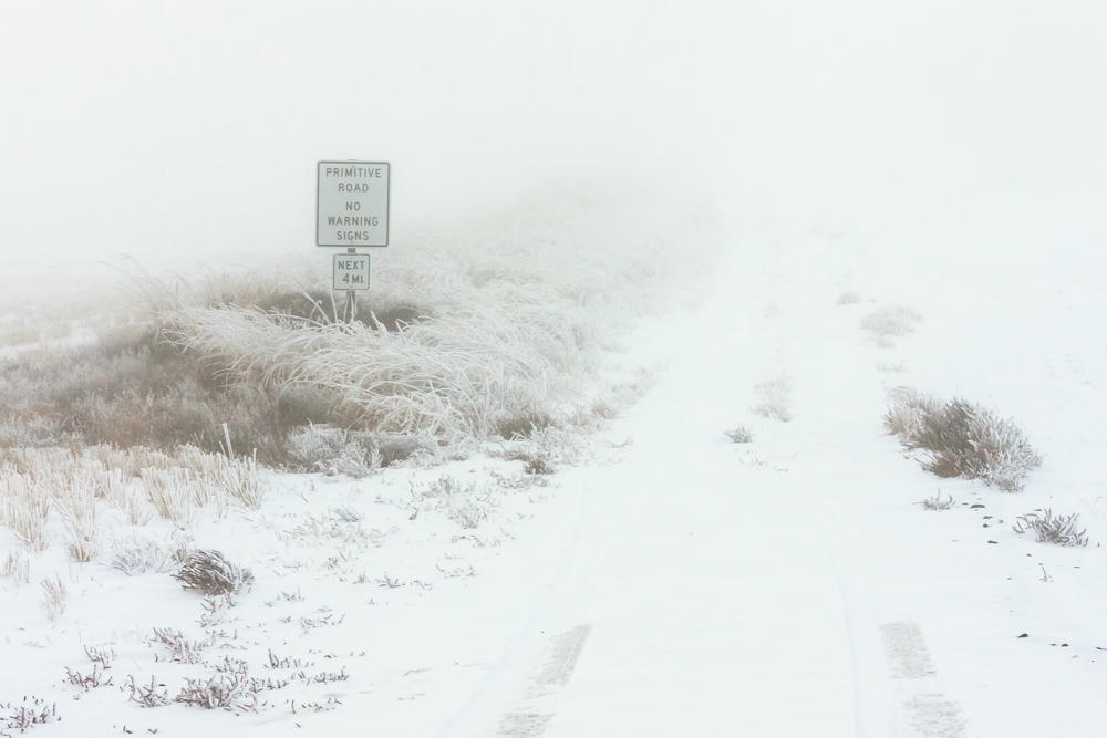
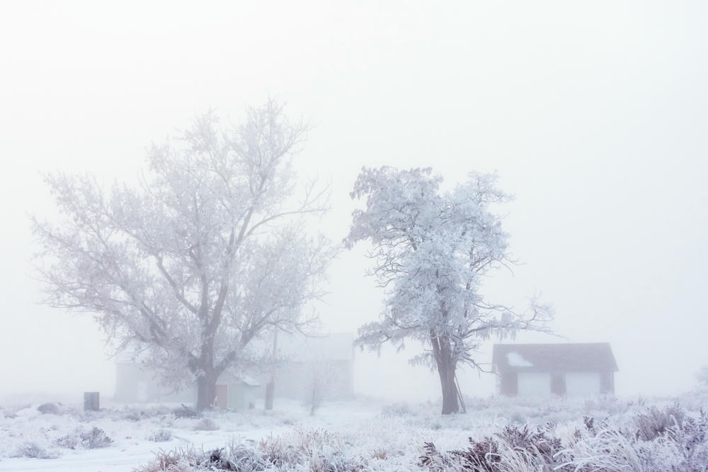
It was even better than I thought it would be. Got some amazing thick fog right at sunset. Fantastic case of right place, right time.

Subscribe to my free and occasional (never more than weekly) e-mail newsletter with my latest travel and other stories:
Or follow me on one or more of the socials: