Hi, I'm Eric.
I’m an avid world traveler, photographer, software developer, and digital storyteller.
I help implement the Content Authenticity Initiative at Adobe.
Hi, I'm Eric.
I’m an avid world traveler, photographer, software developer, and digital storyteller.
I help implement the Content Authenticity Initiative at Adobe.
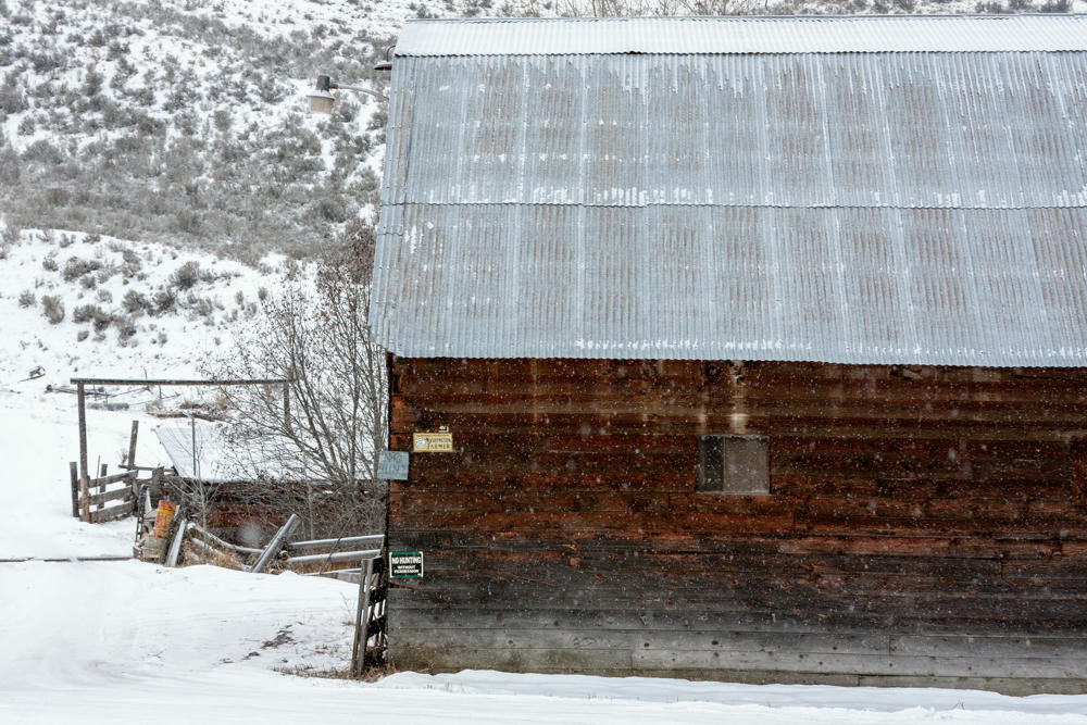
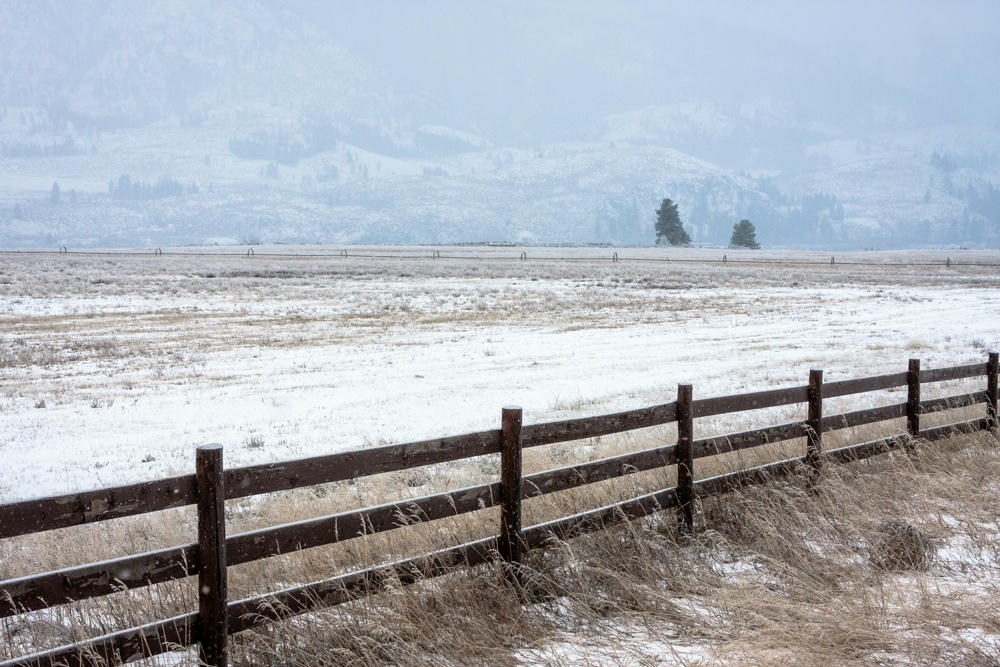
28 December 2009 • 468 km / 291 mi (map)
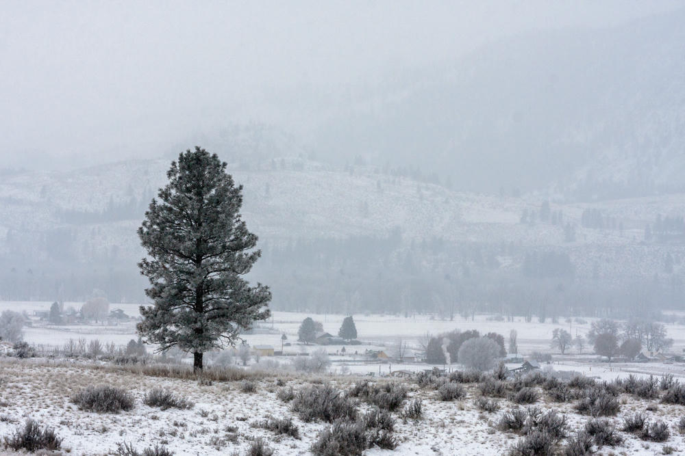
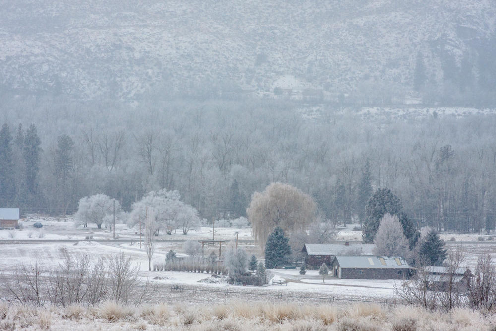
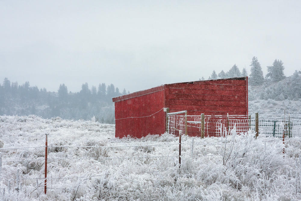
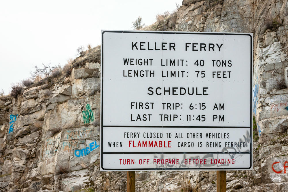
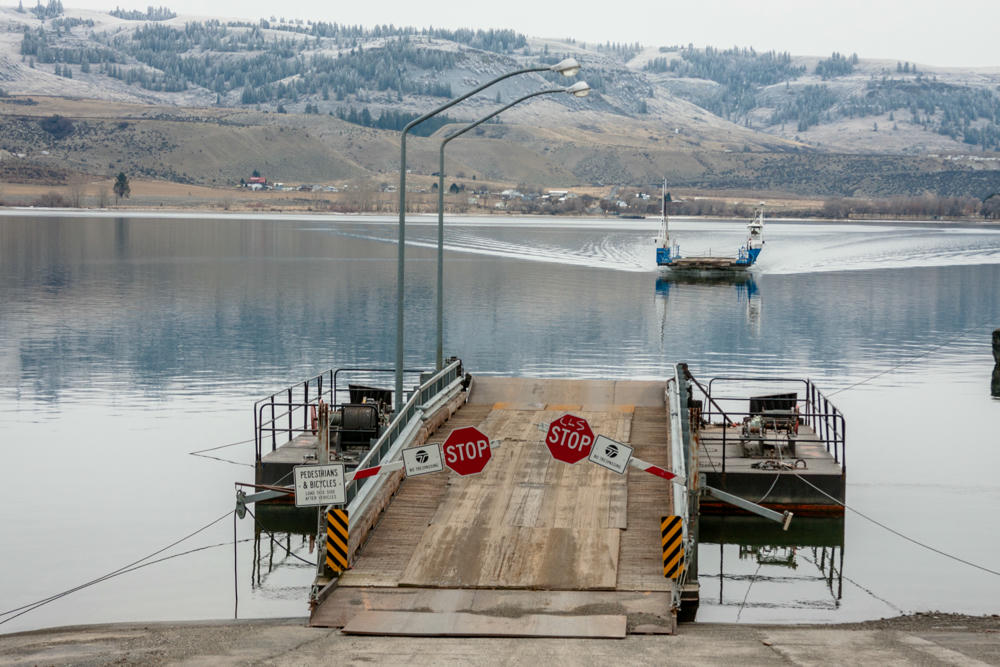
Today I explored the Columbia and Spokane River valleys on the way to Spokane. It was gray and snowy pretty much everywhere I went today, but that’s what I was looking for.
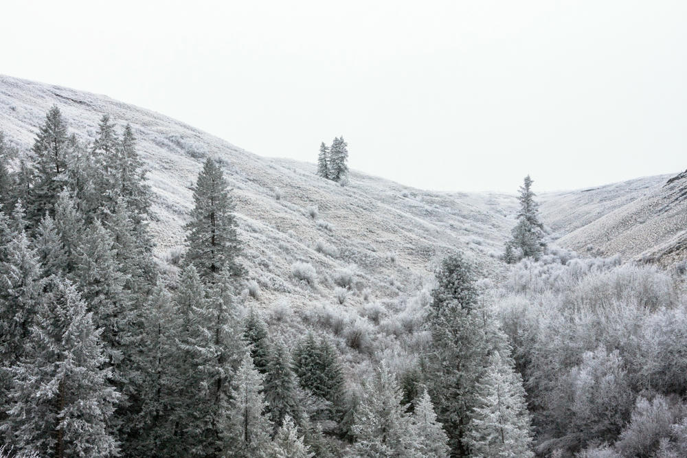
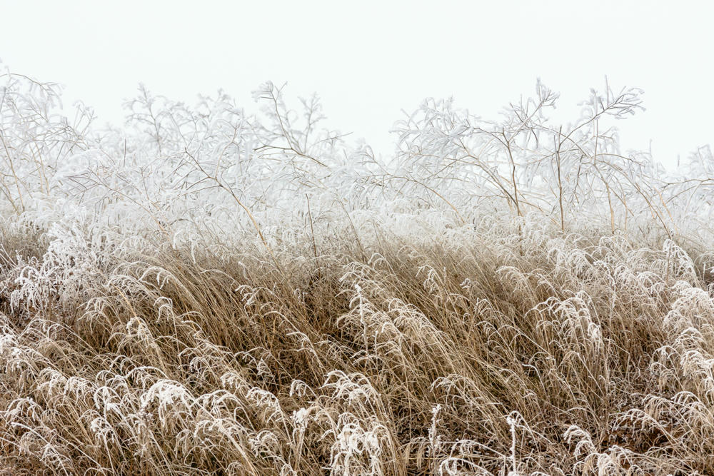
When I climbed to 1200 m / 4000ʹ elevation, I found snow. And then it followed me back down.
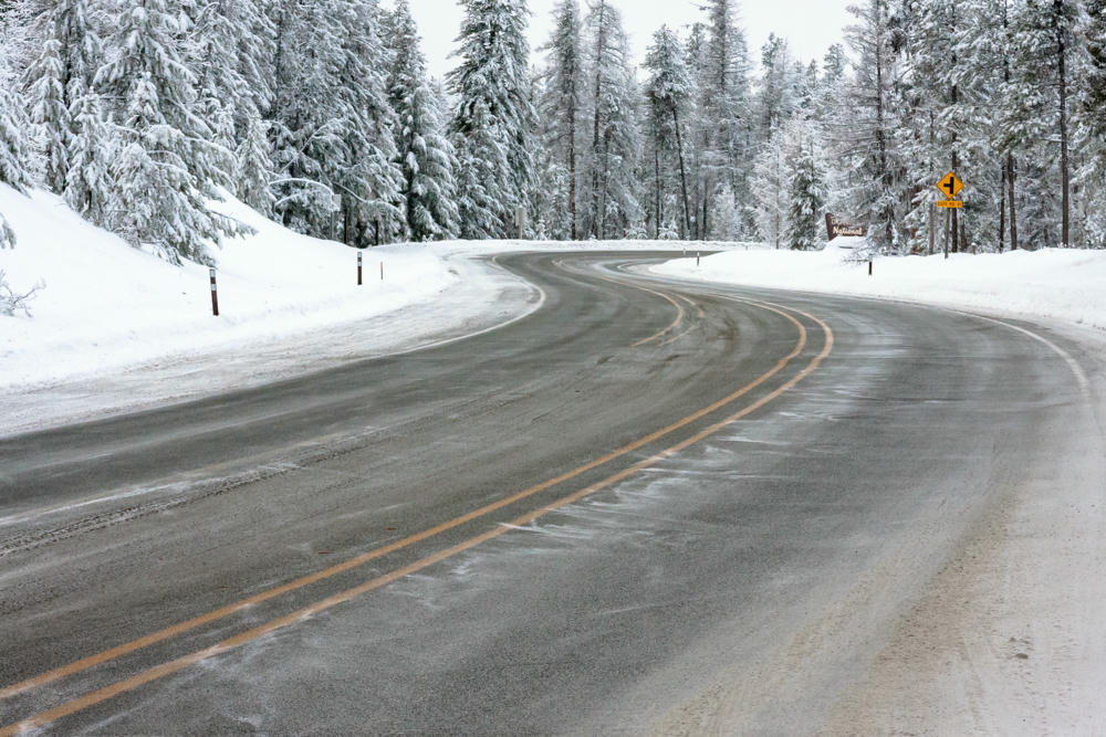
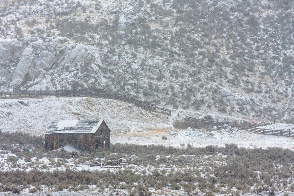
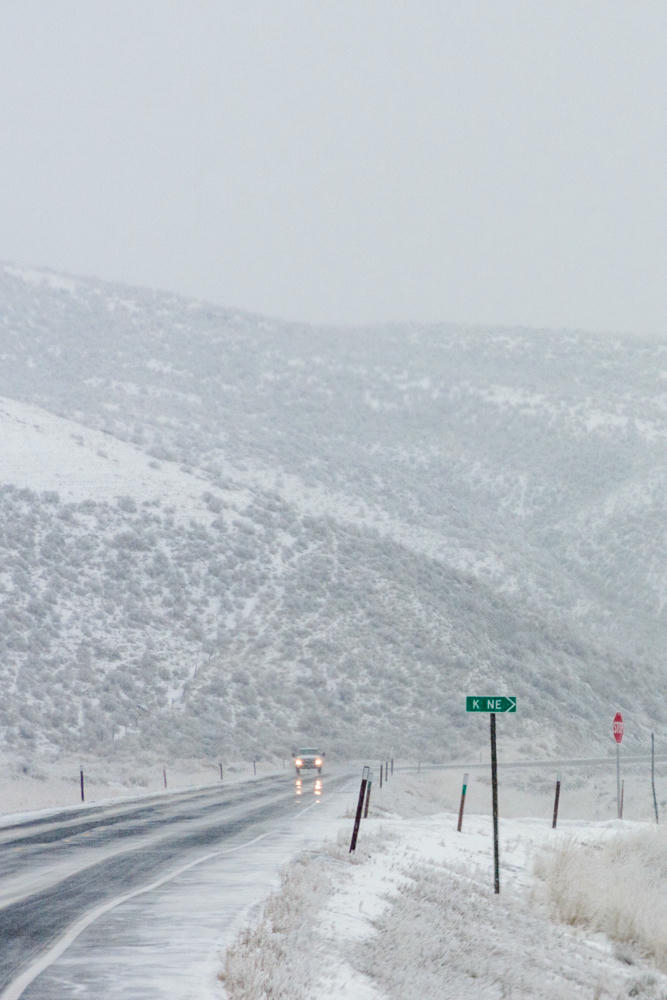


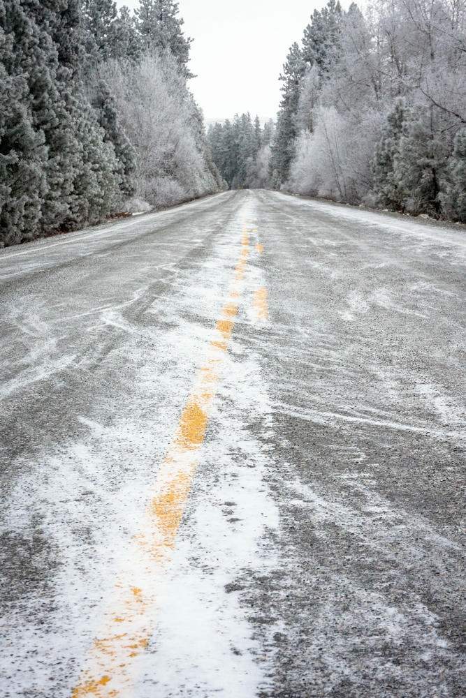
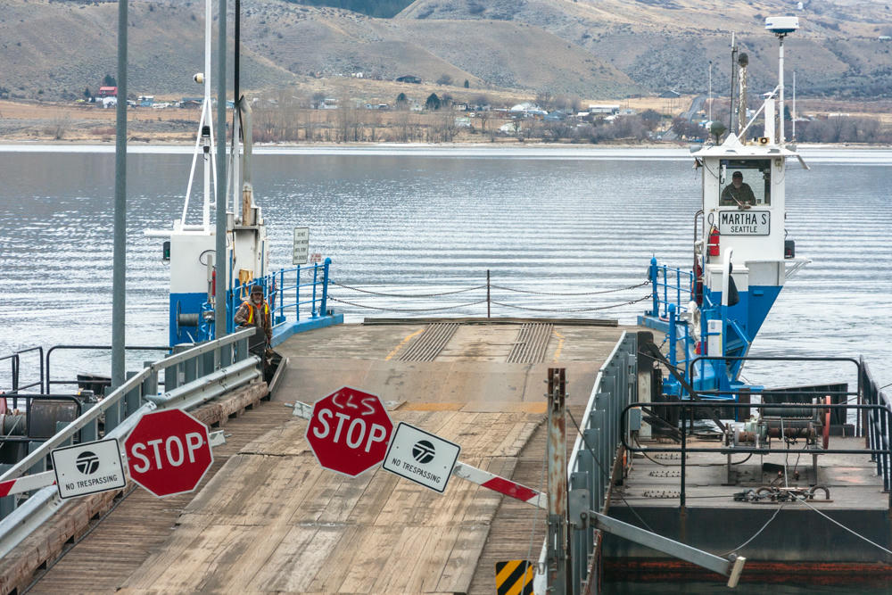
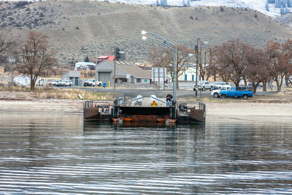

Some crazy mountain roads in there. The last bit (Creston to Deer Park) was kind of hair-raising; sadly, no pictures from that part.

Subscribe to my free and occasional (never more than weekly) e-mail newsletter with my latest travel and other stories:
Or follow me on one or more of the socials: