Hi, I'm Eric.

I’m an avid world traveler, photographer, software developer, and digital storyteller.

I help implement the Content Authenticity Initiative at Adobe.

Search Results

Dallas to Seattle Day 2: To New Mexico

22 April 2021 • 815 km / 506 mi (map)

Leaving Lubbock, I decided to continue satisfying my Panhandle curiosity. I drove north through Amarillo and into the far western edge of Oklahoma’s Panhandle before turning west to my destination for the night, Taos, New Mexico.

While driving along I-27, I noticed a sign for Palo Duro Canyon State Park, so I took a small detour to check it out. I was rewarded with this panoramic view:
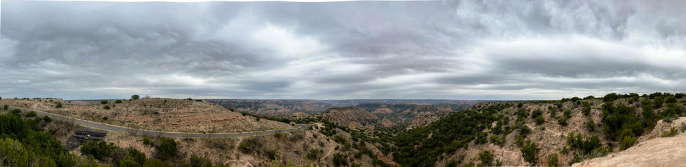
A wide panoramic view of Palo Duro Canyon under a heavy, overcast gray sky, with scrubby green junipers dotting the rocky slopes and eroded canyon walls stretching to the horizon. A paved road winds along the left side of the frame through the arid, rugged terrain.
Palo Duro Canyon State Park, east of Canyon, Texas
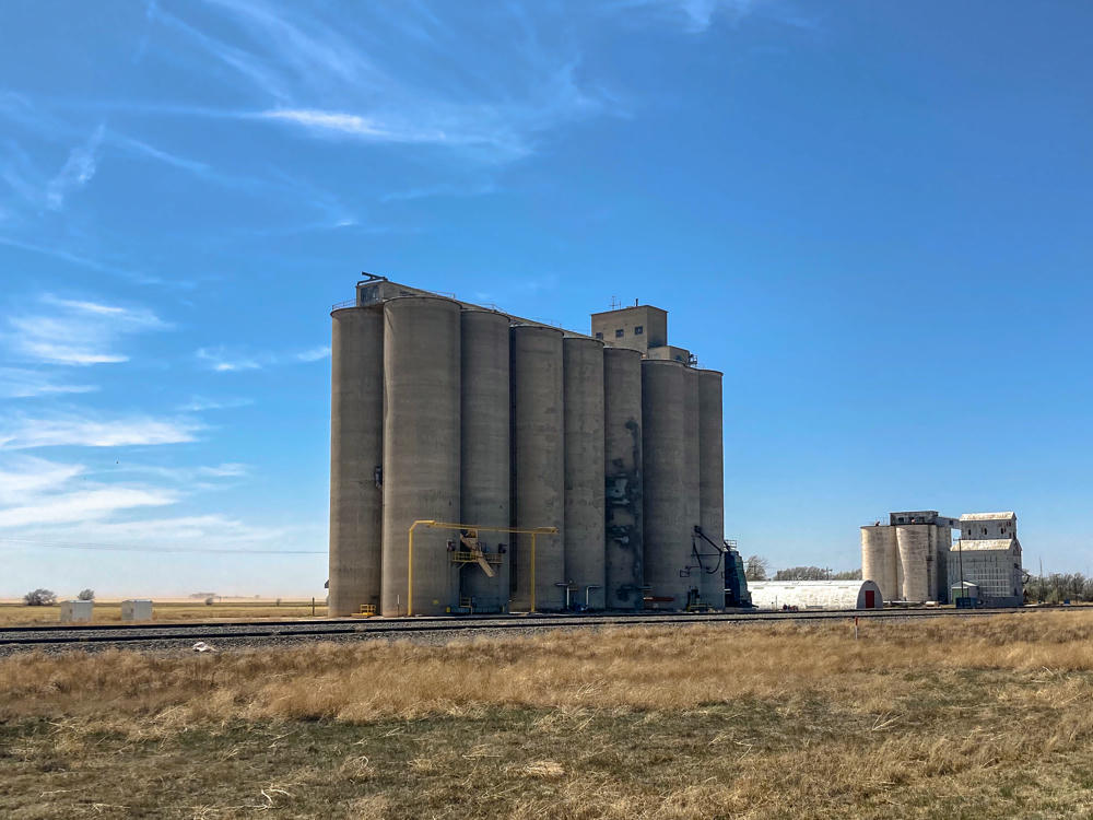
A cluster of tall concrete grain elevators stands beside a railroad track in the flat, dry prairie of Kerrick, Texas, with a smaller elevator complex to the right, dusty fields and power lines stretching to the horizon under a bright blue sky with wispy clouds.
Kerrick, Texas
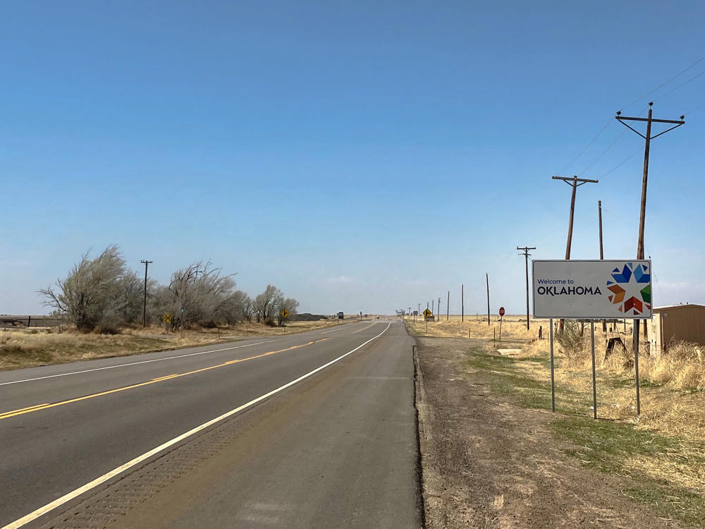
A straight two-lane highway stretches into the flat, arid plains under a clear blue sky, with a “Welcome to Oklahoma” state line sign and colorful star logo standing on the right beside power lines and dry grass. Windswept bare trees line the left side of the empty road near the Oklahoma-Texas border south of Boise City.
south of Boise City, Oklahoma

If you squint real hard, you can see a mountain in the distance. (I got to those later that day …)
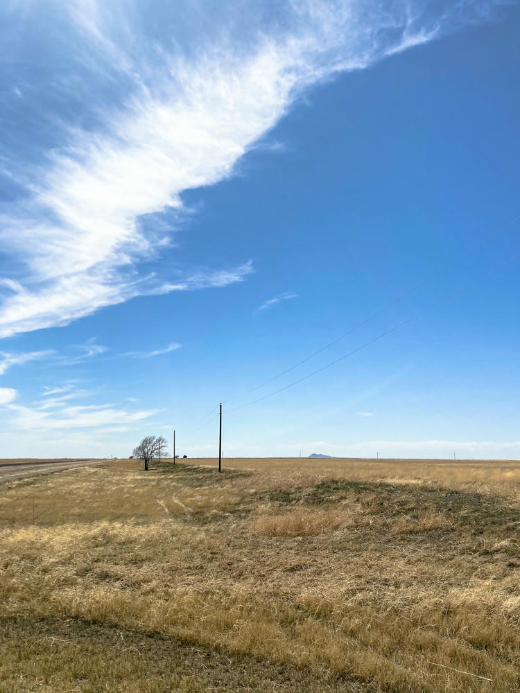
A wide expanse of dry golden prairie grass under a vast blue sky streaked with wispy cirrus clouds, with power lines and bare trees along a roadside and a small distant mountain visible on the flat horizon.
west of Boise City, Oklahoma
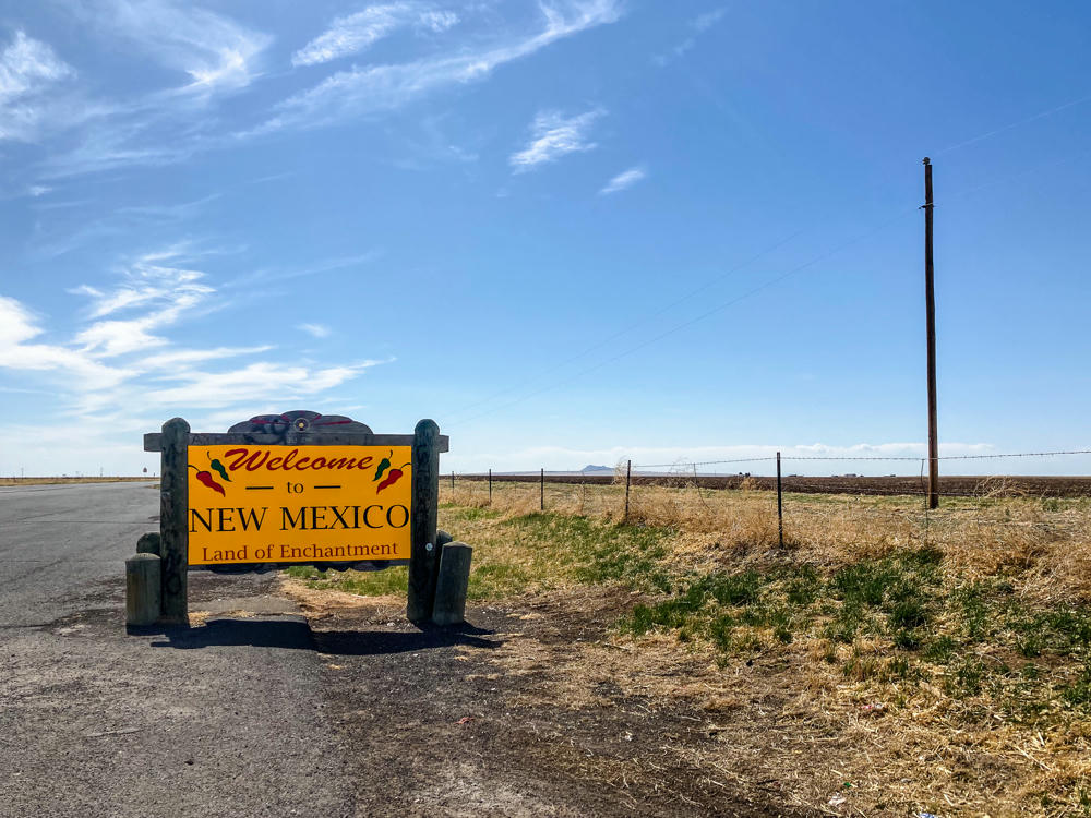
A yellow “Welcome to New Mexico, Land of Enchantment” sign framed by weathered wooden posts and decorated with red and green chili peppers, standing at the edge of a paved roadside pullout. Beyond a barbed wire fence stretch flat, dry plains with a distant mesa on the horizon under a bright blue sky with wispy clouds, and a tall utility pole rises at right.
east of Clayton, New Mexico

Of all the states that I visited, I think New Mexico was the most assertive about their COVID messaging. I liked these signs, just west of Clayton:
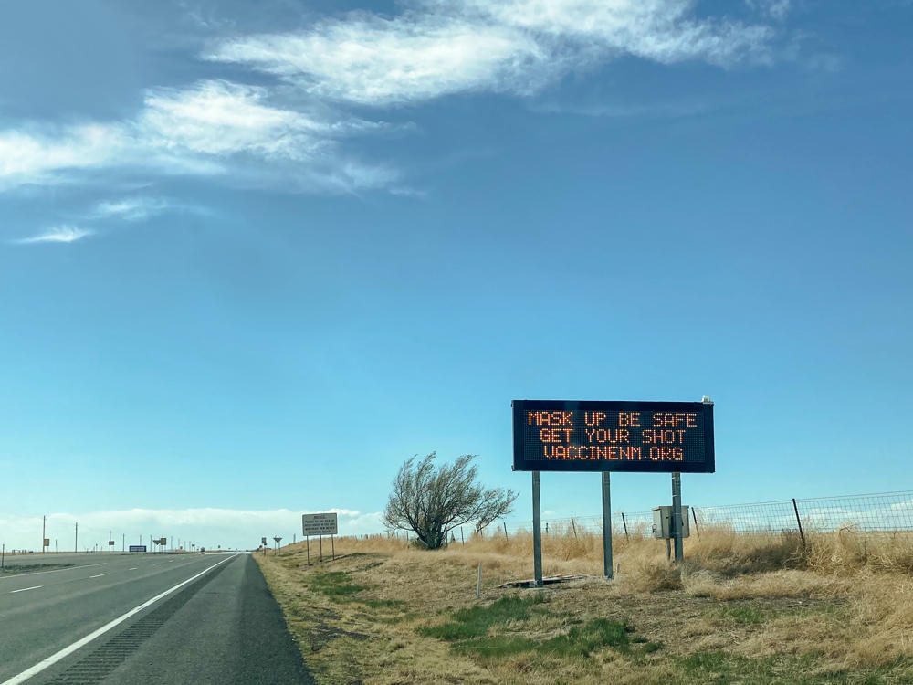
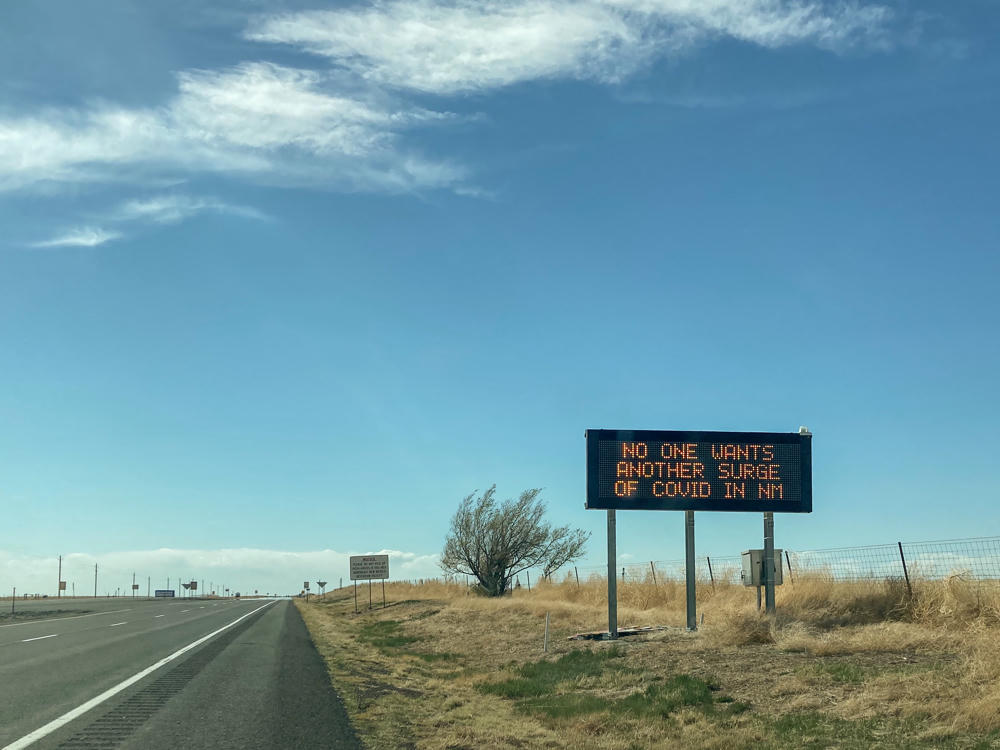
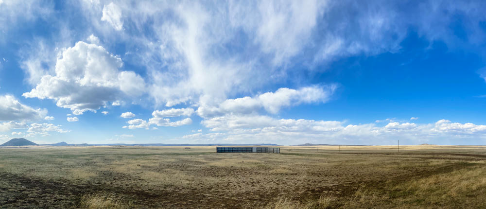
A wide panorama of high plains grassland west of Des Moines, New Mexico, with dry golden and brown grasses stretching to a distant horizon dotted by low volcanic hills and buttes. A long low fenced structure sits in the mid-distance beneath a vast blue sky filled with billowing white cumulus and wispy cirrus clouds.
west of Des Moines, New Mexico

Fun graffiti under a railroad bridge:
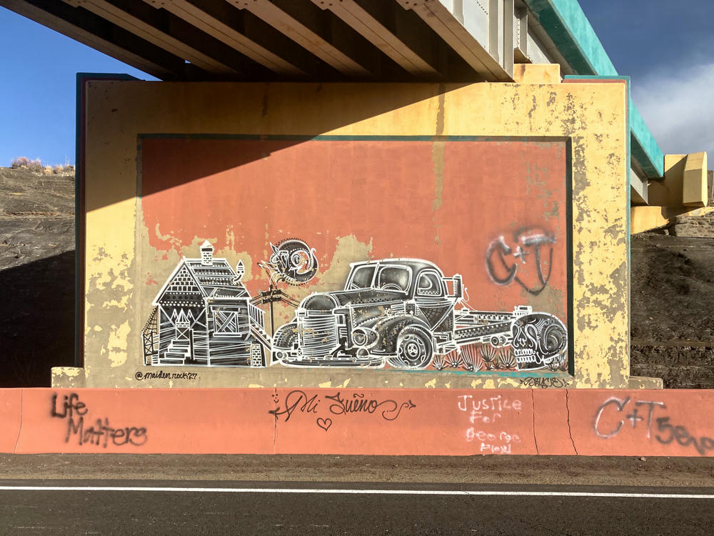
A black-and-white line-art mural of an old barn and a vintage pickup truck painted on a terracotta-colored concrete bridge abutment south of Raton, New Mexico, under a blue sky. Scattered graffiti tags cover the lower ledge, including “Life Matters,” “Mi Sueño,” “Justice for George Floyd,” and “C+T,” with a highway and barren hillside nearby.
south of Raton, New Mexico
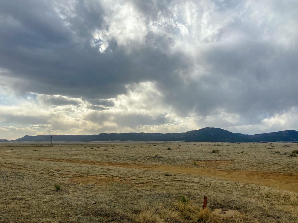
A wide-open high desert plain of dry, pale grassland near Raton, New Mexico, with a low mesa and distant hills along the horizon beneath a dramatic, overcast sky where sunlight breaks through heavy gray clouds. A small windmill and a dirt track are visible in the middle distance, and a red survey marker stands in the foreground.
south of Raton, New Mexico
Lubbock, Texas, to Taos, New Mexico · 815 km / 506 mi
(Mouse over or tap on the markers to see the photos there. Use the button to adjust the map’s position and zoom.)

If you’ve enjoyed this …

Subscribe to my free and occasional (never more than weekly) e-mail newsletter with my latest travel and other stories:

Or follow me on one or more of the socials: